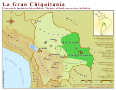
La Gran Chiquitania Map
0 miles away
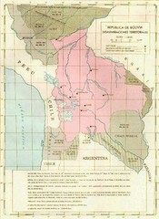
Alleged territorial losses of Bolivia Map
This Bolivian map shows all the alleged territorial losses.
108 miles away
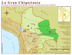
La Gran Chiquitania Map
Location map of the (Gran) Chiquitania region in Bolivia
124 miles away
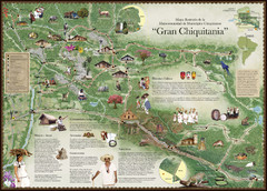
Chiquitania Region Tourist Map
Tourist map of the Mancomunidad Chiquitana or "Association of Chiquitano Peoples and...
133 miles away
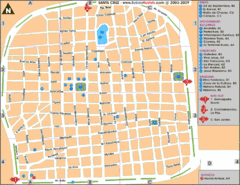
Santa Cruz Tourist Map
Tourist map of city center
152 miles away

Bolivia Detail Map, 1993 Map
152 miles away
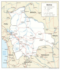
Bolivia Detail Map, 2006 Map
152 miles away
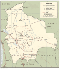
Bolivia Detail Map, 1986 Map
152 miles away
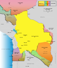
Alleged territorial losses of Bolivia Map v2.0
This another Bolivian map shows all the alleged territorial losses.
152 miles away
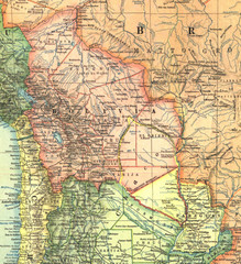
Bolivia and Paraguay in 1921 Map
1921 National Geographic Map of Bolivia and Paraguay before of the 1932-35 bloody war between those...
219 miles away
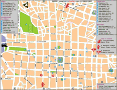
Downtown Sucre Map
Tourist street map of downtown Sucre
314 miles away
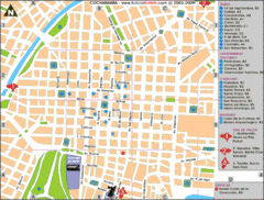
Cochabamba Ceter Map
Tourist street map of downtown Cochabamba
328 miles away
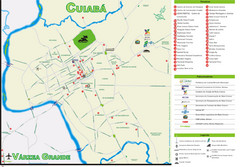
Cuiaba Tourist Map
Tourist street map of town
351 miles away
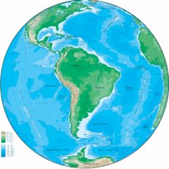
South America Globe Map
Guide to South America, in globe version, not flat
352 miles away
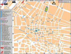
Potosi Center Map
Tourist street map of downtown Potosi
362 miles away

Altiplano in Western Bolivia Map
401 miles away
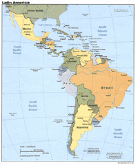
Latin America Map
412 miles away

Parque Nacional Baritu Map
Map of park with detail of trails
413 miles away
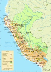
Western South America Tourist Map
434 miles away
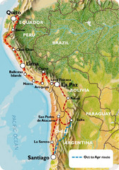
South America Tour Map
454 miles away
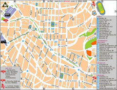
La Paz Tourist Map
Tourist street map of La Paz city center
454 miles away
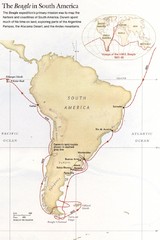
Darwin's South American Voyages 1831/36 Map
From National Geographic Magazine
462 miles away
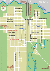
La Quiaca City Map
Street map of city
478 miles away

Paraguay Map
497 miles away

Paraguay political Map
506 miles away

Paraguay Map
Map of Paraguay showing cities, roads, railroads and borders.
514 miles away
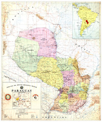
Official map of Paraguay
Official map of Paraguay, year 1993
514 miles away
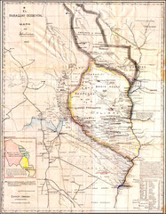
Wartime map of the Chaco
This 1933 map of the Chaco was made during the Chaco War between Paraguay and Bolivia and used by...
514 miles away
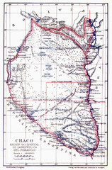
All the failed proposals to delimit the Chaco Map
Here you can see all the proposals to delimit the Chaco between 1879 and 1894. Everyone of them...
514 miles away
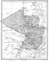
Map of Paraguay before the Chaco War
This is an internationally accepted map of Paraguay before the Chaco War (1932-35) made by Scottish...
514 miles away
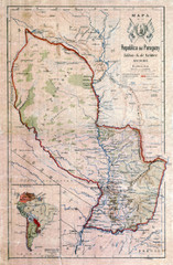
Map of Paraguay before the Chaco War
This dateless map of Paraguay that I scanned shows all the local claim over the Chaco (the northern...
514 miles away
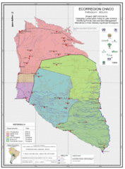
Ecological Region of the Chaco Map
This is the ecological Region of the Chaco shared between Paraguay and Bolivia
514 miles away
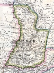
Paraguay Political Map 1875
Political map of Paraguay in 1875. Part of "Mapa Original de la Republica Argentina y Estados...
514 miles away
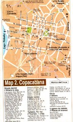
Copacabana Tourist Map
Tourist map of Copacabana, Bolivia on Lake Titikaka. Shows hotels, restaurants, and other places...
517 miles away

