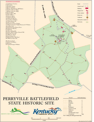
Perryville Battlefield State Historic Site Map
Map of trails and interpretive markers for the historical site of Perryville Battlefield.
402 miles away
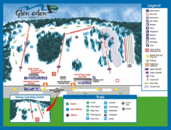
Glen Eden Ski Trail Map
Trail map from Glen Eden, which provides downhill skiing. This ski area has its own website.
402 miles away
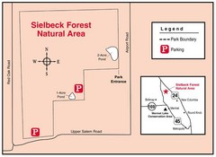
Sielbeck Forest, Illinois Site Map
403 miles away
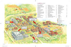
McMaster University Map
Campus map
403 miles away
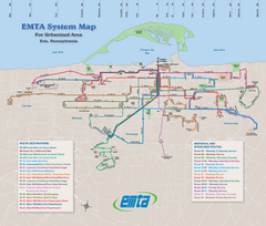
Erie Metro Bus routes Map
404 miles away
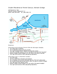
Mohawk College - Fennell Campus Student Residence...
Mohawk College - Fennell Campus Student Residence Halls Map Plan. All buildings shown.
405 miles away
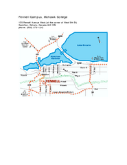
Mohawk College - Fennell Campus Map
Campus Map of Mohawk College of Applied Arts & Technology. Fennell Campus Map Shown.
405 miles away
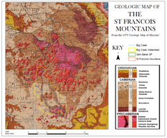
St. Francois Mountains Geologic Map
Map displaying the geology of the St. Francois Mountains in Missouri. Taken from the 1979 "...
405 miles away
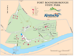
Fort Boonesborough State Park Map
Map of trails, historical sites and facilities at Fort Boonesborough State Park.
405 miles away
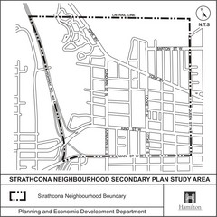
Strathcona Neighbourhood Map
405 miles away
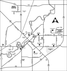
City of Marshall Visitor's Map
City of Marshall Visitor's Map describes the location of basic needs as well as recreational...
406 miles away

Rattlesnake Point Trail Map
407 miles away
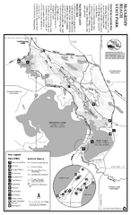
McCarthy Beach State Park Winter Map
Winter seasonal map of park with detail of trails and recreation zones
407 miles away
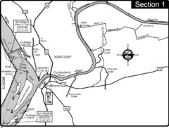
Smithland, KY Cumberland & Ohio Rivers Map
This is the mouth (end) of the Cumberland River as it pours into the Ohio River after flowing 695...
407 miles away
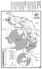
McCarthy Beach State Park Summer Map
Summer seasonal map of park with detail of trails and recreation zones
407 miles away
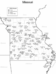
Missouri Airports Map
407 miles away
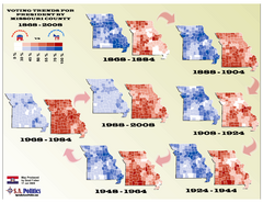
Voting Trends for President by Missouri County Map
407 miles away

Lookout Mountain Lookout Mt Ski Trail Map
Trail map from Lookout Mountain. This ski area opened in 1958.
407 miles away
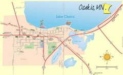
Osakis City Map
A quaint city on the shore of a beautiful lake.
407 miles away
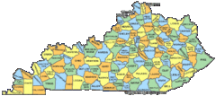
Kentucky Counties Map
407 miles away
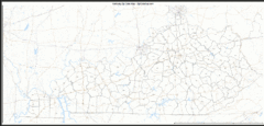
Kentucky Zip Code Map
Check out this Zip code map and every other state and county zip code map zipcodeguy.com.
407 miles away
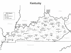
Kentucky Airports Map
407 miles away
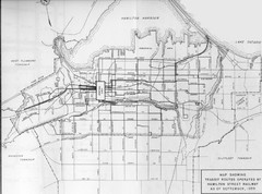
1959 Transit Routes of Hamilton Harbor Map
407 miles away
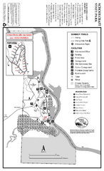
Schoolcraft State Park Map
map of park with detail of trails and recreation zones
408 miles away
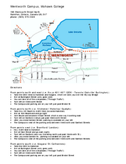
Mohawk College - Wentworth Campus Map
Mohawk College - Wentworth Campus Map. All buildings shown.
408 miles away

Allegheny College Map
Campus Map
408 miles away
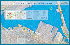
Port of Hamilton Map
Shows piers and tenants of Port of Hamilton, Ontario
408 miles away
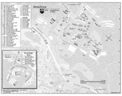
Penn State Erie Behrend College Campus Map
Campus map of Behrend College, Penn State Erie.
408 miles away
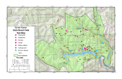
Carter Caves State Resort Park Topographic Trails...
Topographic map of the trails of Carter Caves State Resort Park.
409 miles away
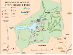
Pennyrile State Resort Park map
Recreation map for Pennyrile Forest State Park in Kentucky
409 miles away
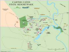
Carter Caves State Resort Park map
Detailed recreation map for Carter Caves State Park in Kentucky
409 miles away
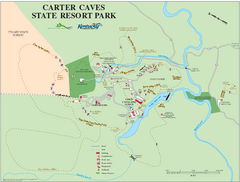
Carter Caves State Resort Park Map
Map of trails and facilities of Carter Caves State Resort Park.
409 miles away
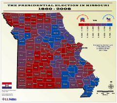
Political Leanings by Missouri County Map
409 miles away
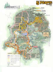
Albion Hills Running Course Map
Map shows the Enduro Course, Sport Course and Half Marathon Course for the 5 Peaks trail running...
410 miles away
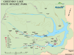
Greenbo Lake State Resort Park map
Detailed recreation map for Greenbo Lake State resort park in Kentucky
410 miles away
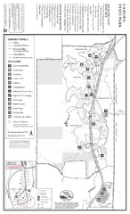
Camden State Park Summer Map
Map of park with detail of trails and recreation zones
411 miles away
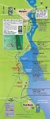
Nipigon River Recreational Trail Map
Map of the river trail between Red Rock and Nipigon.
411 miles away
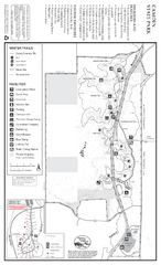
Camden State Park Winter Map
Map of park with detail of trails and recreation zones
411 miles away
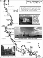
Upper Mississippi River Mile 0 to Mile 78 Map
Historical Map from book "Mississippi River-Historical Sites and Interesting Places
414 miles away
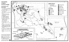
Glacial Lakes State Park Winter Map
Map of park with detail of trails and recreation zones
414 miles away

