
1871 Southern Ontario District Map
Map of 1871 Districts
389 miles away
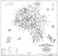
Fayette County General Highway Map
Transportation Map of Fayette County, KY
389 miles away
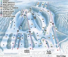
Georgian Peaks Club Ski Trail Map
Trail map from Georgian Peaks Club, which provides downhill and nordic skiing. This ski area has...
390 miles away
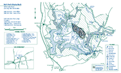
Salt Fork State Park map
Detailed recreation map for Salt Ford State Park in Ohio
390 miles away
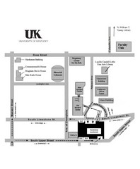
University of Kentucky Campus Map
Map of a part of University of Kentucky. Includes the specific location of the parking garage next...
390 miles away
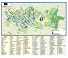
University of Kentucky Campus Map
2008 UK Visitor Map
390 miles away
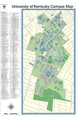
University of Kentucky Campus Map
Campus Map of University of Texas includes detailed numbered building list, all streets and sports...
390 miles away
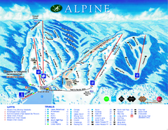
Alpine Ski Club Ski Trail Map
Trail map from Alpine Ski Club, which provides downhill skiing. This ski area has its own website.
391 miles away
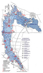
Pymatuning Lake State Park Fishing Map
Pymatuning Lake State Park fishing map
391 miles away
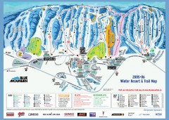
Blue Mountain Ski Trail Map
Official ski trail map of Blue Mountain ski area from the 2005-2006 season.
391 miles away
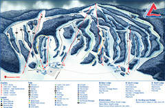
Craigleith Ski Club Ski Trail Map
Trail map from Craigleith Ski Club, which provides downhill skiing. This ski area has its own...
392 miles away
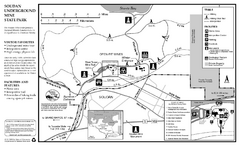
Soudan Underground Mine State Park Map
map of park with detail of trails and recreation zones
392 miles away
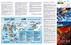
Blue Mountain Ski Trail Map
Trail map from Blue Mountain, which provides downhill skiing. This ski area has its own website.
392 miles away
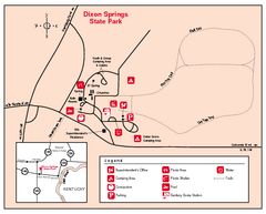
Dixon Springs State Park, Illinois Site Map
393 miles away
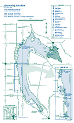
Pymatuning State Park Map
Detailed recreation map for Pymatuning State Park in Ohio
393 miles away
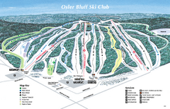
Osler Bluff Ski Club Ski Trail Map
Trail map from Osler Bluff Ski Club, which provides downhill skiing. This ski area has its own...
393 miles away
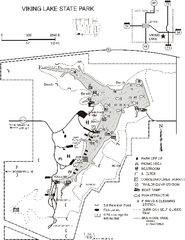
Viking Lake State Park Map
Map of trails, lake depths, fishing spots and park facilities in Viking Lake State Park.
394 miles away
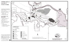
Upper Sioux Agency State Park Summer Map
Summer seasonal map of park with detail of trails and recreation zones
394 miles away
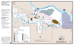
Upper Sioux Agency State Park Winter Map
Winter seasonal map of park with detail of trails and recreation zone
394 miles away
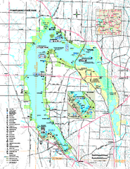
Pymatuning State Park Map
Recreation map for Pymatuning State Park in Pennsylvania
394 miles away
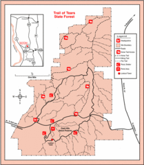
Trail of Tears State Park, Illinois Map
395 miles away
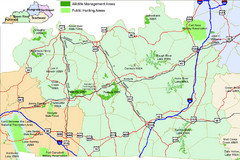
Green River Area Hunting Map
Map marking highways, forests, parks and hunting zones in Kentucky's beautiful Green River...
395 miles away
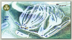
Devils Glen Ski Trail Map
Trail map from Devils Glen, which provides downhill skiing. This ski area has its own website.
396 miles away
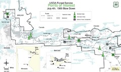
Quetico Provincial Park Map
BWCAW Visitors Map. Shows parameters of BWCAW areas, camp grounds, roads and information kiosks.
396 miles away
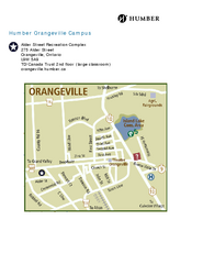
Humber College Orangeville Campus Map
Humber College Orangeville Campus Map. Shows all areas.
396 miles away
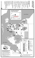
Lake Shetek State Park Summer Map
Summer seasonal map of park with detail of trails and recreation zones
397 miles away
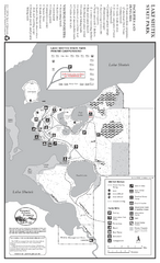
Lake Shetek State Park Winter Map
Winter seasonal map of park with detail of trails and recreation zones
397 miles away
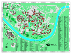
Ohio University Map
Ohio University Campus Map. All buildings shown.
397 miles away
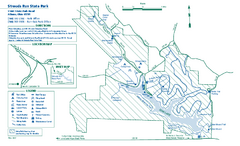
Strouds Run State Park map
Detailed recreation map for Strouds Run State Park in Ohio.
398 miles away
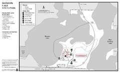
Monson Lake State Park Map
Map of park with detail of trails and recreation zones
398 miles away
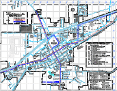
St James Street Map
Street map of St. James, Missouri. Shows points of interest.
399 miles away
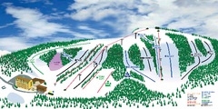
Hockley Valley Resort Ski Trail Map
Trail map from Hockley Valley Resort, which provides downhill skiing. This ski area has its own...
399 miles away

Central Kentucky Trail Map
400 miles away
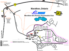
Marathon Trail Map
Map of Marathon with detail on snowmobile trails
400 miles away
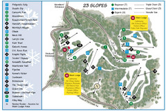
Caledon Ski Club Ski Trail Map
Trail map from Caledon Ski Club, which provides downhill skiing. This ski area has its own website.
400 miles away
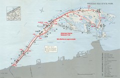
Erie Marathon Course Park Map
Map of marathon course and alternate course sidewalk trail for Erie Marathon in Presque Isle State...
401 miles away

Hilton Falls Trail Map
Guide to Hilton Falls Conservation Area and Reservoir
401 miles away
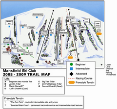
Ski Mansfield Ski Trail Map
Trail map from Ski Mansfield, which provides downhill skiing. This ski area has its own website.
401 miles away
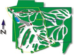
Cedar Highlands Ski Trail Map
Trail map from Cedar Highlands.
402 miles away

Presque Isle State Park map
Detailed recreation map for Presque Isle State Park in Pennsylvania
402 miles away

