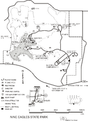
Nine Eagles State Park Map
Map of trails, lake depth and park facilities in Nine Eagles State Park.
345 miles away
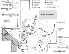
Springbrook State Park Map
Map of trails, hunting and fishing areas, and park facilities in Springbrook State Park.
346 miles away
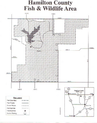
Hamilton County Wildlife Area, Illinois Site Map
346 miles away
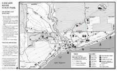
Cascade River State Park Map
Map of park with detail of trails and recreation zones
347 miles away
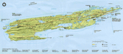
Isle Royale National Park Map
Park map of Isle Royal National Park. Scanned.
347 miles away

Lutsen Mountains Ski Trail Map
Trail map from Lutsen Mountains, which provides downhill and terrain park skiing. It has 10 lifts...
347 miles away
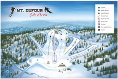
Mount Dufour Ski Trail Map
Trail map from Mount Dufour, which provides downhill skiing. This ski area has its own website.
347 miles away
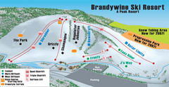
Boston Mills / Brandywine Ski Resort Brandywine...
Trail map from Boston Mills / Brandywine Ski Resort.
347 miles away
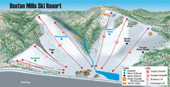
Boston Mills / Brandywine Ski Resort Boston Mills...
Trail map from Boston Mills / Brandywine Ski Resort.
347 miles away
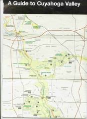
Cuyhoga National Park Map
348 miles away
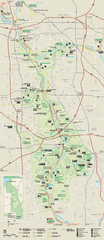
Cuyahoga Valley National Park Official Park Map
Official NPS map of Cuyahoga Valley National Park in Ohio. Map shows all areas. Cuyahoga Valley...
348 miles away
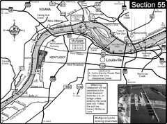
Ohio River at Louisville, KY & Southern...
This is from the Ohio River Guidebook
348 miles away

Father Hennepin State Park Map
Map of park with detail of trails and recreation zones
349 miles away
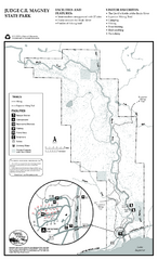
Judge C.R. Magney State Park Map
Map of park with detail of trails and recreation zones
349 miles away
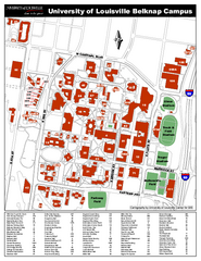
University of Louisville Map
University of Louisville Campus Map. All buildings shown.
349 miles away
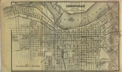
Antique map of Louisville from 1873
Map of Louisville, Kentucky from Appletons' Hand-Book of American Travel, Southern Tour...
349 miles away
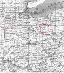
Ohio County Map
350 miles away
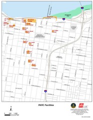
Louisville, Kentucky Tourist Map
350 miles away
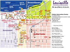
Louisville, Kentucky Tourist Map
350 miles away
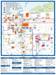
Louisville, Kentucky Tourist Map
350 miles away
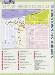
Downtown Louisville Restaurant Map
350 miles away
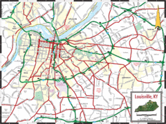
Louisville, Kentucky City Map
350 miles away
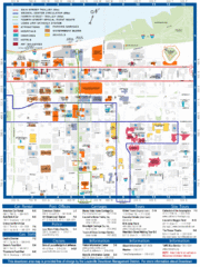
Downtown Louisville Map
Detailed map of gas stations, car rentals, and basic information of Louisville.
350 miles away
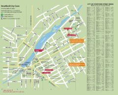
Stratford Tourist Map
Tourist map of center of Stratford, Ontario. Has street index and shows points of interest. Note...
350 miles away
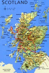
Scotland Tourist Map
351 miles away
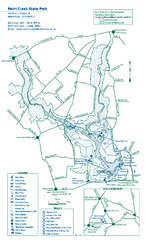
Paint Creek State Park map
Detailed recreation map for Paint Creek State Park in Ohio
351 miles away

Fort Defiance State Park Map
Map of hiking, equestrian and cross country skiing trails and park facilities of Fort Defiance...
352 miles away
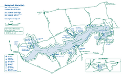
Rocky Fork State Park map
Detailed recreation map for Rocky Fork State Park in Ohio
352 miles away
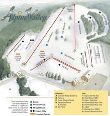
Alpine Valley Ski Area Ski Trail Map
Trail map from Alpine Valley Ski Area.
353 miles away
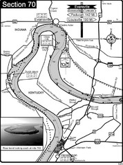
Ohio River at Evansville, IN and Henderson, KY Map
This is a page from the Ohio River Guidebook. The map shows important information for boaters and...
353 miles away
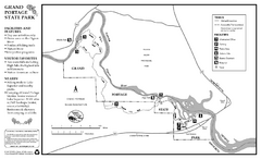
Grand Portage State Park Map
Map of park with detail of trails and recreation zones
353 miles away
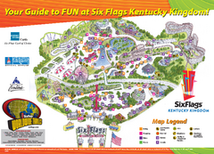
Six Flags Kentucky Kingdom Theme Park Map
Official Park Map of Six Flags Kentucky Kingdom in Kentucky.
354 miles away
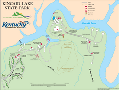
Kincaid Lake State Park Map
Map of trails, facilities and golf course in Kincaid Lake State Park.
354 miles away
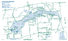
Buckeye Lake State Park map
Detailed recreation map for the Buckeye Lake area in Ohio
354 miles away
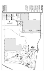
Fort Ridgely State Park Summer Map
Summer map of park with detail of trails and recreation zones
355 miles away
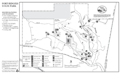
Fort Ridgely State Park Winter Map
Winter map of park with detail of trails and recreation zones
355 miles away
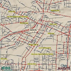
Akron, Ohio City Map
355 miles away
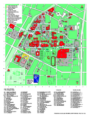
University of Akron Main Campus Map
University of Akron Main Campus Map. All buildings shown.
355 miles away

Powder Ridge Ski Area Ski Trail Map
Trail map from Powder Ridge Ski Area.
355 miles away
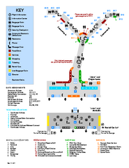
Louisville International Airport Terminal Map
Official Map of the Louisville International Airport. Shows all terminals and facilities.
355 miles away

