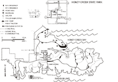
Honey Creek State Park Map
Map of trails, fishing spots and park facilities for Honey Creek State Park.
299 miles away
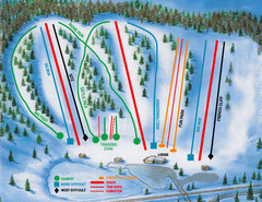
Hyland Ski and Snowboard Area Ski Trail Map
Trail map from Hyland Ski and Snowboard Area, which provides downhill, night, and terrain park...
299 miles away
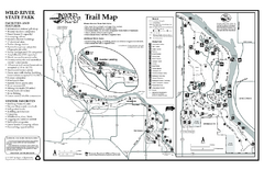
Wild River State Park Map
map of park with detail of trails and recreation zones
300 miles away
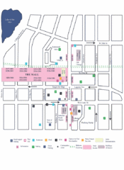
Uptown Art Walk, Minneapolis - St. Paul...
300 miles away
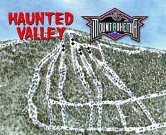
Mount Bohemia Haunted Valley Ski Trail Map
Trail map from Mount Bohemia.
301 miles away
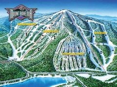
Mount Bohemia Frontside Ski Trail Map
Trail map from Mount Bohemia.
301 miles away
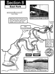
Williams, IN White River East Fork Map
This is a page from the White River Guidebook. The map shows important information for boaters and...
301 miles away
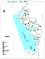
West Boggs Park Map
301 miles away
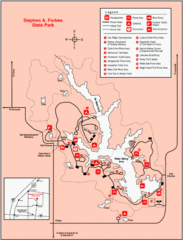
Stephen A. Forbes State Park, Illinois Site Map
302 miles away

Vicennes and Knox County Indiana Visitor Map
Street map of Vicennes with maps of the entire state and county as well.
302 miles away
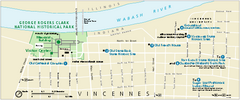
George Rogers Clark National Historical Park...
Official NPS map of George Rogers Clark National Historical Park in Indiana. Map shows all areas...
302 miles away
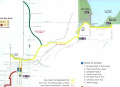
Buck Creek Trail Map
303 miles away
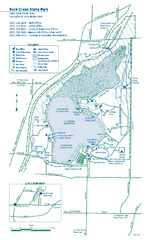
Buck Creek State Park map
Detailed recreation map for Buck Creek State Park in Ohio
303 miles away
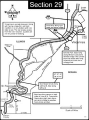
Vincennes, IN/ St. Francisville, IL Wabash River...
This is a page from the Wabash River Guidebook. The map shows important information for boaters and...
304 miles away
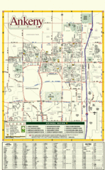
Ankeny City Map
City map of Ankeny, Iowa. Shows street index and schools.
305 miles away
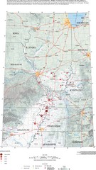
Earthquakes in the Central US Map
Map of central U.S. earthquakes from 1699 to 2002
305 miles away
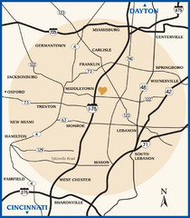
Atrium County Map
Map of Atrium County, Ohio. Includes all roads and towns.
306 miles away
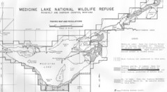
Medicine Lake Map
306 miles away
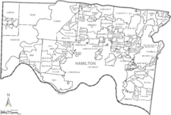
Hamilton, Ohio City Map
306 miles away
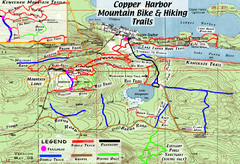
Copper Harbor Trail Map
Guide to mountain bike and hiking trails of Copper Harbor
306 miles away
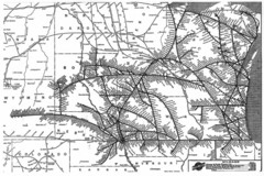
Chicago & North Western Line Railroad System...
C&NW map circa 1909
307 miles away
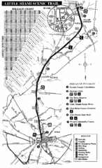
Little Miami Scenic Trail Map
Map of the Little Miami Scenic Trail biking route from Xenia, Ohio to Yellow Springs, Ohio. Shows...
307 miles away
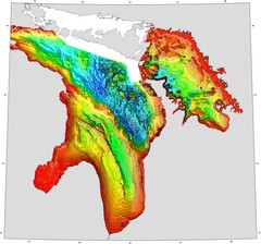
Lake Huron Depths Map
308 miles away
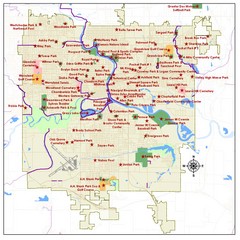
Des Moines Parks Map
308 miles away

Carlyle Lake, Illinois Site Map
308 miles away
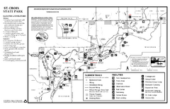
St. Croixs State Park Summer Map
Summer seasonal map of park with detail of trails and recreation zones
308 miles away
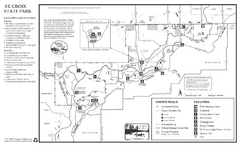
St. Croixs State Park Winter Map
Winter seasonal map of park with detail of trails and recreation zones
308 miles away

Des Moines, Iowa City Map
309 miles away
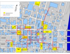
Des Moines Skywalks Map
309 miles away

Attractions in Alton, Illinois Map
Tourist map of Alton, Illinois. Museums, monuments, and other points of interest are shown.
309 miles away
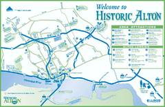
Historic Attractions in Alton, Illinois Map
Tourist map of historic attractions in Alton, Illinois. Shows museums, monuments, and lodging.
309 miles away
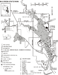
Big Creek State Park Map
Map of trails, lake depths and facilities in Big Creek State Park.
310 miles away
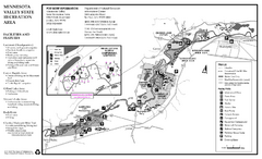
Minnesota Valley State Recreation Area Map
Map of recreation area with detail of trails and recreation zones
310 miles away

Red Haw State Park Map
Map of trails, lake depths, fishing spots and park facilities in Red Haw State Park.
310 miles away
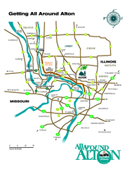
Alton, Illinois, and surrounding areas Map
Tourist map of the area around Alton, Illinois, showing ferry terminals, locks and dams, airports...
310 miles away
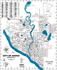
Anoka City Map
City Map of Anoka, Minnesota
311 miles away
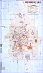
Kirksville City Map
City map of Kirksville, Missouri. Scanned.
311 miles away
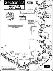
Petersburg, IN White River West Fork Map
This is a page from the White River Guidebook. The map shows important information for boaters and...
312 miles away
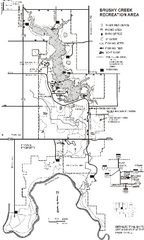
Brushy Creek State Park Map
Map of hiking, biking and equestrian trails, lake depths and park facilities in Brushy Creek State...
312 miles away

