Secor Metropark Map
231 miles away

Oak Openings Metropark Map
231 miles away
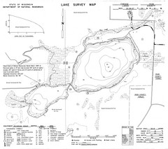
Fireside Lake Survey Map
Survey of Lake and surrounding areas done by State of Wisconsin Department of Natural Resources
232 miles away
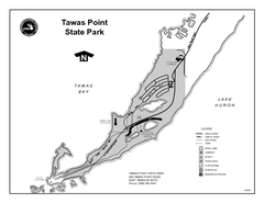
Tawas Point State Park, Michigan Site Map
233 miles away
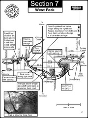
Anderson, IN & Mounds State Park Wabash River...
This is a page from the White River Guidebook. The map shows important information for boaters and...
234 miles away
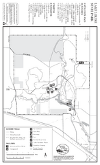
Lake Louise State Park Map
Map of park with detail of trails and recreation zones
235 miles away

Camp Miakonda Map
235 miles away
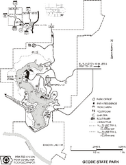
Geode State Park Map
Map of trails, lake depths and park facilities for Geode State Park.
235 miles away

Providence Metropark Map
236 miles away
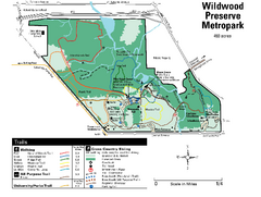
Wildwood Preserve Metropark Map
236 miles away
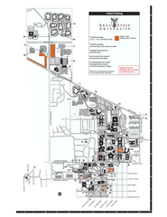
Ball State University Map
Ball State University Campus Map. All buildings shown.
236 miles away
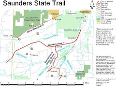
Saunders State Trail Map
Points of interest, lakes, roads, forests and more are marked on this map's key.
236 miles away

Mt. Crescent Ski Area Ski Trail Map
Trail map from Mt. Crescent Ski Area.
236 miles away
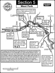
Muncie, IN White River West Fork Map
This is a page from the White River Guidebook. The map shows important information for boaters and...
236 miles away

Painted DEM of Menard Co. Illinois Map
Mosaic painted DEM of Menard Co. using Arc/Info 8.x; AML; Perl; Erdas Imagine on SUN Hardware (Unix...
238 miles away
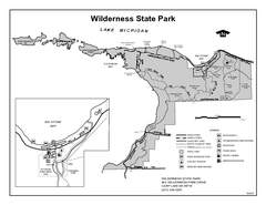
Wilderness State Park, Michigan Site Map
239 miles away
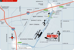
Detroit Metro Airport Area Map
239 miles away

Farnsworth/Bend View Metropark Map
239 miles away

Illinois State Fairgrounds Map
239 miles away

Swan Creek Metropark Map
239 miles away
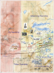
Ishpeming Trail Map
Trail and road map for Ishpeming and surrounding area
240 miles away
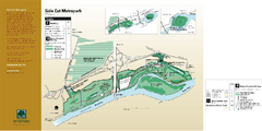
Side Cut Metropark Map
240 miles away
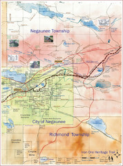
Negaunee Trail Map
Trail and street map of Negaunee are
240 miles away

Indianapolis Motor Speedway Map
240 miles away
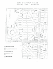
Lathrup Village Street Map
240 miles away
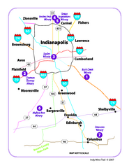
Indy Wine Trail Map
Map of the Indy Wine Trail of the Indianapolis area in Indiana. Shows wineries in the area.
241 miles away
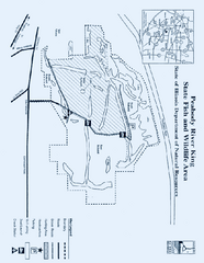
Peabody River King State Fish and Wildlife Area...
241 miles away
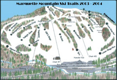
Marquette Mountain Ski Trail Map
Trail map from Marquette Mountain.
241 miles away
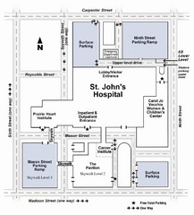
St. John's Hospital Visitor Map
St. John's Hospital Visitor Map includes all main buildings, names of streets and parking...
241 miles away
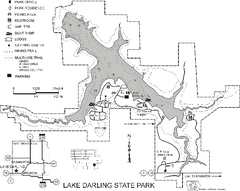
Lake Darling State Park Map
Map of hiking, biking and skiing trails, lake depths and park facilities for Lake Darling State...
241 miles away

Looking for Lincoln Walking Tour, Springfield...
Looking for Lincoln walking tour map, Springfield, Illinois. Shows sites associated with President...
241 miles away
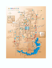
Springfield, Illinois Map
Tourist maps of Springfield, Illinois. Includes two maps: wider view of Springfield, and downtown...
241 miles away
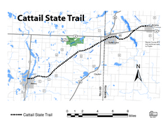
Cat Tail State Trail Map
Map marking trails, bike routes, shelter, toilets and more.
242 miles away

Toledo Zoo Map
242 miles away
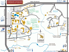
Oakland University Map
Oakland University Campus Map. All buildings shown.
242 miles away
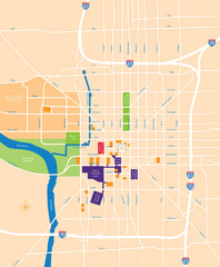
Indianapolis Center Map
Map of Indianapolis downtown center
242 miles away
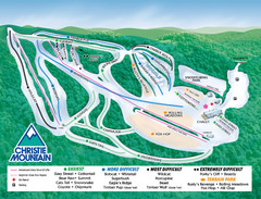
Christie Mountain Ski Area Ski Trail Map
Trail map from Christie Mountain Ski Area.
242 miles away
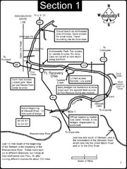
Fort Recovery, OH & beginning of the Wabash...
This is a page from the Wabash River Guidebook. The map shows important information for boaters and...
243 miles away

