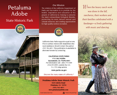
Petaluma Adobe State Historic Park Map
Map of park with detail of trails and recreation zones
123 miles away
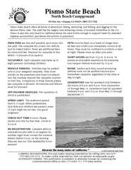
Pismo Beach North Campground Map
Map of park with detail of trails and recreation zones
124 miles away
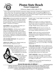
Pismo Beach Oceano Campground Map
Map of oceano campground region of park with detail of trails and recreation zones
125 miles away
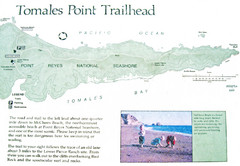
Tomales Point Trail Map
Map of the trail to Tomales Point in Point Reyes National Seashore, California. Also shows trail...
125 miles away
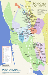
Sonoma Country Wine Map
Wine map of Sonoma, California area. Shows all vineyards.
126 miles away
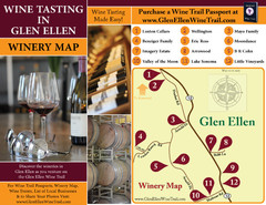
Glen Ellen Wine Tasting Map
126 miles away
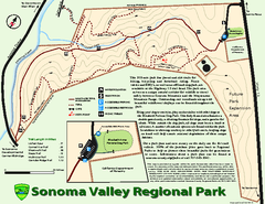
Sonoma Valley Regional Park Map
Trail map of 202 acre Sonoma Valley Regional Park.
126 miles away
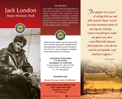
Jack London State Historic Park Map
Map of park with detail of trails and recreation zones
126 miles away

Northern California Fire Detection Map
Fires in Northern California
127 miles away
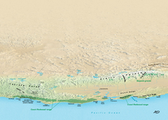
California Redwood Range Map
NPS prospective map of the coastal redwoord range in California, extending from Santa Cruz north to...
127 miles away
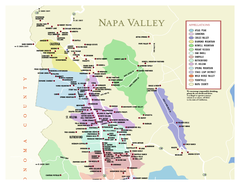
Napa County Wineries, California Map
Map of wineries in Napa County, California. Shows wineries and appellations.
128 miles away
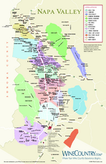
Napa Valley Wine Map
Wine map of Napa Valley, Napa, California. Shows all vineyards and shading by appellations from...
128 miles away
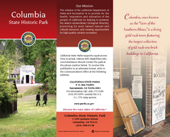
Columbia State Historic Park Map
Map of park with detail of trails and recreation zones
129 miles away

Millerton Lake State Recreation Area Park Map
Map of park with detail of trails and recreation zones
129 miles away
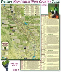
Napa Valley Wine Country Guide Map
Map of the Napa Valley Wine Country. With over 250 local Wineries listed. Printed on waterproof...
129 miles away
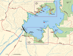
Millerton Lake State Recreation Area SW Map
Map of SW region of park with detail of trails and recreation zones
129 miles away
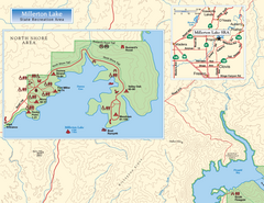
Millerton Lake State Recreation Area NW Map
Map of NW region of park with detail of trails and recreation zones
130 miles away

Millerton Lake State Recreation Area NE Map
Map of NE region of park with detail of trails and recreation zones
130 miles away
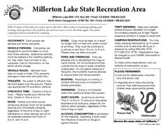
Millerton Lake State Recreation Area Campground...
Map of campground region of park with detail of trails and recreation zones
130 miles away
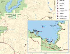
Millerton Lake State Recreation Area SE Map
Map of SE region of park with detail of trails and recreation zones
130 miles away
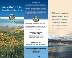
Millerton Lake State Recreation Area Map
Map of park with detail of trails and recreation zones
130 miles away
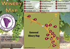
Kenwood Wine Tasting Map
130 miles away
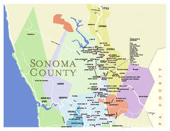
Wineries in Sonoma County, California Map
Map of winery locations in Sonoma County, California. Shows wineries, tasting rooms, and valleys of...
131 miles away
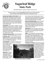
Sugarloaf Ridge State Park Campground Map
Map of park with detail of trails and recreation zones
132 miles away
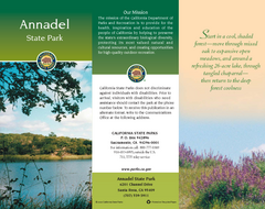
Annadel State Park Map
Map of park with detail of trails and recreation zones
133 miles away
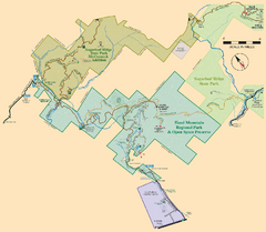
Hood Mountain Regional Park Map and Sugarloaf...
Park map of Hood Mountain Regional Park and Open Space Preserve and Sugarloaf Ridge State Park in...
133 miles away
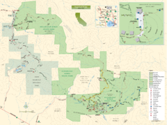
Sugarloaf Ridge State Park Map
Trail map of Sugarloaf Ridge State Park
133 miles away
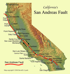
San Andreas Fault, California Map
133 miles away
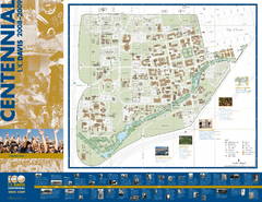
University of California Davis Campus Map
Campus map of UC Davis in Davis, California. Shows all buildings.
134 miles away
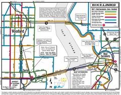
Davis, California BIke Map
135 miles away

Sebastopol Map
Map of Sebastopol and surrounding towns.
135 miles away
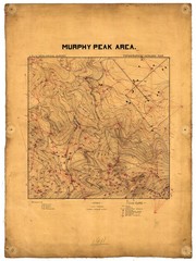
Murphy Peak Area Survey Map
Topographic geology map of Murphy Peak area, California. L.S.J.U. Geological Survey, 1911...
135 miles away
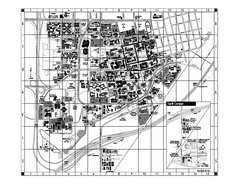
University of California at Davis Map
Campus Map of the University of California at Davis. All buildings shown.
135 miles away
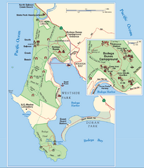
Bodega Bay Park Map
Park map of the Sonoma Coast State Beach park lands in Bodega Bay, California. Shows roads, trails...
136 miles away
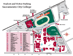
Sacramento City College Campus Map
Sacramento City Campus Map. All buildings shown.
136 miles away
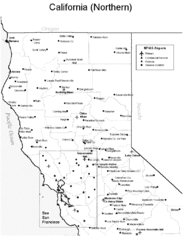
Northern California Airports Map
137 miles away

Greater Lake Berryessa Region Tourist Map
Tourist map of the Lake Berryessa region in Napa, California
137 miles away
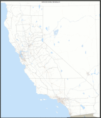
California Zip Code Map
Check out this Zip code map and every other state and county zip code map zipcodeguy.com.
138 miles away
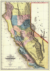
1851 California Regional Map
Great quality map of Californian regions in 1851.
138 miles away
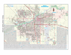
Bakersfield, California City Map
138 miles away

