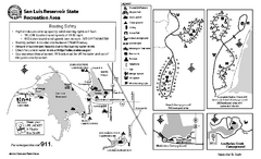
San Luis Reservoir State Recreation Area...
Map of campground region of park and reservoir with detail of trails and recreation zones
56 miles away

Arastradero Preserve Map
Trail map of Arastradero Preserve shows 10.25 miles of trails.
56 miles away
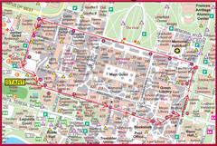
Cardinal Walk Map
Map of Stanford University campus with Cardinal Walk detail
59 miles away
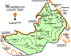
Wunderlich County Park Map
Trail map of Wunderlich County Park near Woodside, California. "The Alambique Trail offers a...
59 miles away
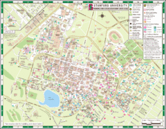
Stanford University Map
A map of the Stanford University campus.
59 miles away
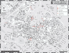
Stanford University Map
Stanford University Campus Map. All buildings shown.
59 miles away

Palo Alto Baylands Nature Preserve Map
Map of the Palo Alto Baylands Nature Preserve in Palo Alto, CA. Shows trails, including part of...
60 miles away
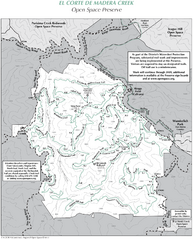
El Corte de Madera Open Space Preserve Map
Trail map of El Corte de Madera Open Space Preserve. Shows all mountain biking, hiking, and...
60 miles away
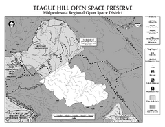
Teague Hill Open Space Preserve Map
Trail map of Teague Hill Open Space Preserve near Woodside, California. Only one trail enters a...
61 miles away
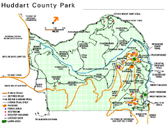
Huddart County Park Map
Trail map of Huddart County Park near Woodside, California.
62 miles away
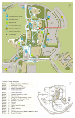
Cañada College Campus Map
Campus map of Cañada College, Redwood City, CA. Shows buildings.
62 miles away
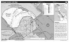
Phleger Estate Trail Map
Trail map of Phleger Estate, part of the Golden Gate National Recreation Area, in Woodside...
63 miles away
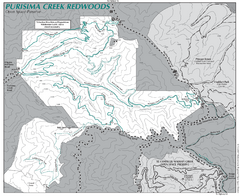
Purisima Open Space Preserve Map
Trail map of Purisima Open Space Preserve. Shows all mountain biking, hiking, and horseback riding...
63 miles away
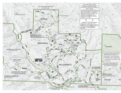
Sunol Regional Wilderness Trail Map - West
Trail map of western portion of Sunol Regional Wilderness in Sunol, California.
63 miles away
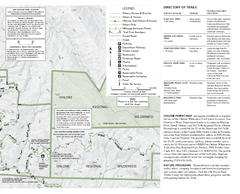
Sunol Regional Wilderness Trail Map - East
Trail map of eastern portion of Sunol Regional Wilderness in Sunol, California.
63 miles away
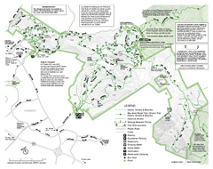
Mission Peak Preserve Map
Park map of Mission Peak Regional Preserve in Fremont, California. Topo map shows trails and trail...
63 miles away
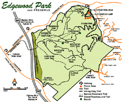
Edgewood County Park Trail Map
Trail map of Edgewood Park and Preserve in Redwood City, California.
63 miles away
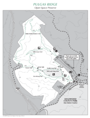
Pulgas Ridge Open Space Preserve Map
Trail map of Pulgas Ridge Open Space Preserve. 366 acres and 6 miles of trails
65 miles away
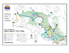
Water Dog Lake Park Trail Map
Trail map of Water Dog Lake Park. Open to mountain biking.
67 miles away
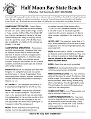
Half Moon Bay State Beach Campground Map
Map of beach with detail of trails and recreation zones
68 miles away
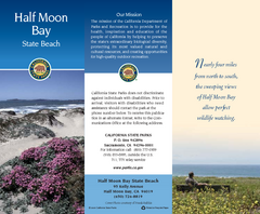
Half Moon Bay State Beach Map
Map of beach with detail of trails and recreation zones
68 miles away

San Mateo County Mid-County Trail Map
Trail map of mid-county trails in San Mateo County, California.
68 miles away
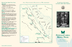
Fifield-Cahill Ridge Trail Map
Trail map and brochure of the Fifield-Cahill Ridge Trail in the San Francisco Peninsula Watershed.
70 miles away
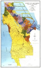
San Mateo County Map
Official county map of San Mateo, California. Scale 1"=5000'
70 miles away
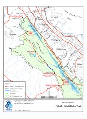
Fifield-Cahill Ridge Trail Map
Trail map of the Fifield-Cahill Ridge Trail in the San Francisco Peninsula Watershed.
71 miles away
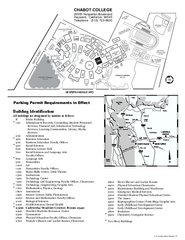
Chabot College Campus Map
Chabot College Campus Map. All buildings shown.
73 miles away
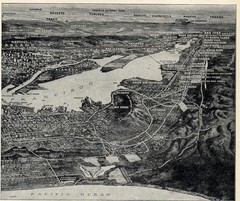
1936 San Francisco Bay Area Map Part 2
Guide to the San Francisco Bay Area, hand drawn over photograph
73 miles away
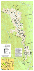
Pleasanton Ridge Regional Park Map
73 miles away
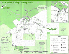
San Pedro Valley County Park Map
Trail map of San Pedro Valley County Park. 1,100 acre park with miles of trails and waterfall...
74 miles away
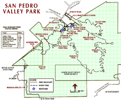
San Pedro Valley Park Map
Park map of San Pedro Valley County Park in San Mateo County, California.
74 miles away
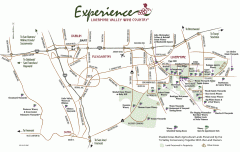
Livermore Valley Wineries, California Map
Map of wineries in Livermore Valley, California. Shows wineries, olive groves, and preserved land.
75 miles away
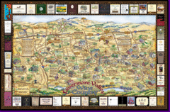
Livermore Winery Tour Map
Livermore Valley Wine Map & Visitors Guide - A great source for information about the Livermore...
75 miles away
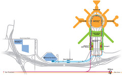
San Francisco International Airport Map
75 miles away
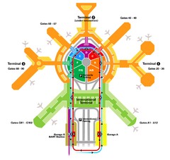
San Francisco Initernational Airport SFO Terminal...
AirTrain, airline, and gate locations map of SFO.
75 miles away
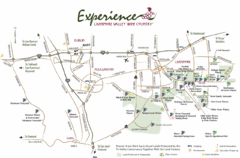
Livermore Valley Wine Map
Map showing the wineries in the Livermore Valley of California.
76 miles away
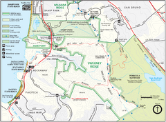
Sweeney Ridge Map
Trail map of Sweeney Ridge, part of the Golden Gate National Recreational Area.
76 miles away
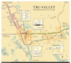
Tri Valley Transportation and Road Map
The Tri Valley cities roads and routes.
77 miles away

Mount Whitney Route Map
78 miles away
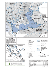
Lake Chabot Trail Map
79 miles away
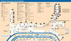
Oakland International Airport (OAK) Map
Terminal map. Shows all airport services and facilities
79 miles away

