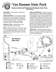
Van Damme State Park Campground Map
Map of campground region of park with detail of trails and recreation zones
211 miles away
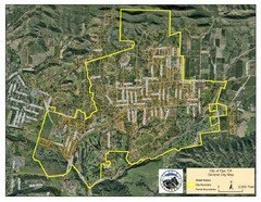
Ojai Street Map
Street map of Ojai, California.
211 miles away
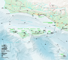
Channel Islands National Park Official Park Map
Official NPS map of Channel Islands National Park in California. Channel Islands National Park...
211 miles away
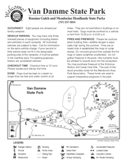
Van Damme State Park Campground Map
Map of campground region of park with detail of trails and recreation zones
211 miles away

Van Damme State Park Map
Park map of Van Damme State Park near Mendocino, California. Show Fern Valley Trail through...
211 miles away
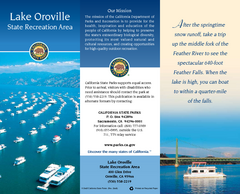
Lake Oroville State Recreation Area Map
Map of recreation area with detail of trails and recreation zones
211 miles away
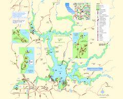
Lake Oroville State Recreation Area Map
Map of recreation area with detail of trails and recreation zones
212 miles away
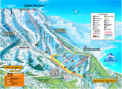
Diamond Peak Ski Trail Map
Trail map from Diamond Peak.
213 miles away
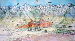
Lone Pine Map
Panorama tourist map of town of Lone Pine, California with surrounding area including the Alabama...
213 miles away
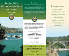
Mendocino Headlands State Parks Map
Map of parks with detail of trails and recreation zones
213 miles away
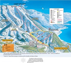
Diamond Peak Ski Trail Map
Official ski trail map of Diamond Peak ski area from the 2007-2008 season.
213 miles away
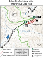
Tahoe Rim Trail: Interpretive Loop, Lake Tahoe...
Trail map of the Tahoe Rim Trail's Interpretive Loop Trail. Shows both trails, camping...
214 miles away
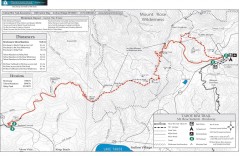
Tahoe Rim Trail: Brockway Summit to Tahoe Meadows...
Trail map of the Brockway Summit-Tahoe Meadows leg of the Tahoe Rim Trail. Bike trails, hiking...
214 miles away
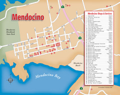
Mendocino Tourist Map
Tourist map of town of Mendocino, California. Shows shops and services.
214 miles away
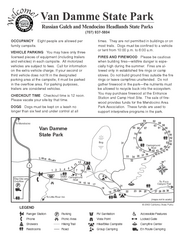
Russian Gulch State Park Campground Map
Map of campground region of park with detail of trails and recreation zones
215 miles away

Carson River Aquatic Trail Map
215 miles away
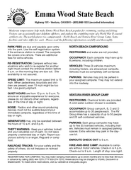
Emma Wood State Beach Campground Map
Map of campground region of park with detail of trails and recreation zones
216 miles away
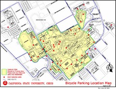
California State University, Chico Bike Parking...
Map that highlights all the available bike parking area and bike routes throughout the campus and...
217 miles away

SCAT Shuttle Map: Ventura Harbor to Downtown...
Shuttle bus route map of SCAT Shuttle between Ventura Harbor and downtown Ventura, California...
217 miles away
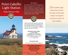
Point Cabrillo Light Station State Historic Park...
Map of park with detail of trails and recreation zones
217 miles away
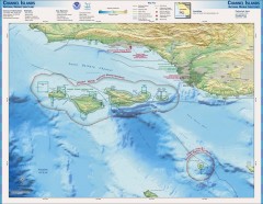
Channel Islands National Marine Sanctuary Map
Topo and bathymetric map of Channel Islands National Marine Sanctuary, located about 23 miles from...
217 miles away

San Buenaventura Map
217 miles away
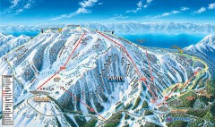
Mt. Rose Ski Trail Map
Official ski trail map of Mt. Rose ski area
218 miles away
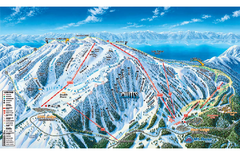
Mt. Rose Ski Tahoe Ski Trail Map
Trail map from Mt. Rose Ski Tahoe.
218 miles away
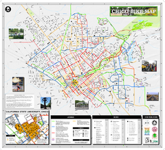
Chico Bike Map
Bicycle route map of Chico, California
218 miles away

Chico, California City Map
219 miles away
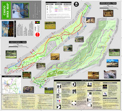
Upper and Lower Bidwell Park Bike Map
Bike map of Upper Bidwell Park and Lower Bidwell Park in Chico, California
220 miles away
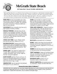
McGrath State Beach Campground Map
Map of beach and park with detail of trails and recreation zones
221 miles away
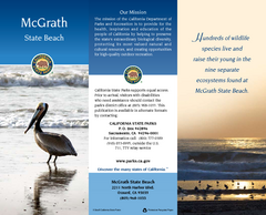
McGrath State Beach Map
Map of beach and park with detail of trails and recreation zones
222 miles away
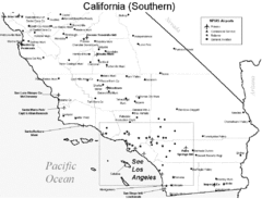
Southern California Airports Map
222 miles away
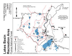
Lakes Basin Recreation Area Trail Map
Trail map of Lakes Basin Recreation Area in Plumas National Forest near Graeagle, California...
224 miles away
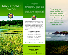
MacKerricher State Park Map
Map of park with detail of trails and recreation zones
225 miles away
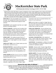
MacKerricher State Park Campground Map
Map of campground region of park with detail of trails and recreation zones
225 miles away
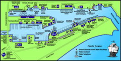
Channel Islands Harbor, California Map
Tourist map of Channel Islands Harbor, California. Shows water taxi stops, restaurants, parks, and...
226 miles away
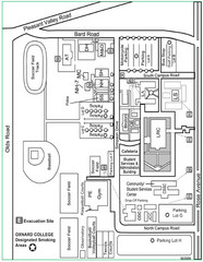
Oxnard College Map
226 miles away
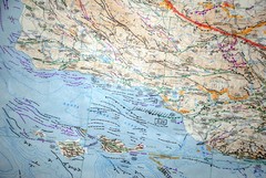
Oxnard California Fault Lines Map
FAULT MAP OF THE SANTA BARBARA TO OXNARD COASTAL AREA THE MESA-RINCON CREEK FAULT LIES DIRECTLY...
226 miles away
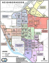
Oxnard California Neighborhoods Map
Neighborhoods: * Del Norte District o El Rio o El Rio West o...
226 miles away
Plumas-Eureka State Park Map
Map of park with detail of trails and recreation zones
228 miles away
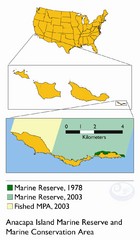
Anacapa Island Marine Reserve Map
228 miles away

Downtown Reno, Nevada Map
Tourist map of Reno, Nevada. Event and convention centers, visitor's center, parks, and other...
232 miles away

