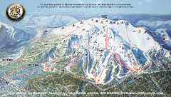
Mammoth Mountain Ski Trail map 2005
Official ski trail map of Mammoth Mountain ski area from the 2005-2006 season.
174 miles away
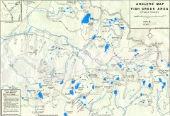
Fish Creek Area Anglers' Map
Hand-drawn fishing map of lakes, peaks, and trails in the Fish Creek Area of the John Muir...
174 miles away
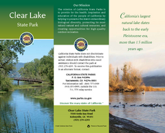
Clear Lake State Park Map
Map of park with detail of trails and recreation zones
174 miles away
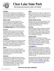
Clear Lake State Park Campground Map
Map of park with detail of trails and recreation zones
174 miles away

Buena Vista Lakes Map
Buena Vista Aquatic Recreation Area is located off of Taft Highway, 23 miles southwest of...
175 miles away
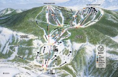
June Mountain Ski Trail Map
Official ski trail map of June Mountain ski area from the 2007-2008 season.
175 miles away
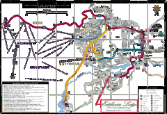
Mammoth Town Map
Map of Mammoth, including shuttle lines
175 miles away

Mammoth Mountain Downhill Skiing Trails Map
Downhill skiing trails on Mammoth Mountain, near Mammoth Lakes, California. Shows trails and their...
175 miles away
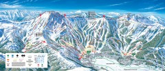
Kirkwood Ski Trail map 2006-07
Official ski trail map of Kirkwood ski area for the 2006-2007 season.
175 miles away
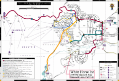
Mammoth Town Map
Town of Mammoth Lakes with shuttle lines included
175 miles away
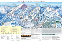
Kirkwood Ski Trail Map
Trail map from Kirkwood, which provides downhill, nordic, and terrain park skiing. It has 14 lifts...
175 miles away

Buena Vista Aquatic Recreation Area, Lake Webb...
175 miles away
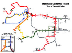
Mammoth Transit Map
Map of Mammoth transit system
177 miles away
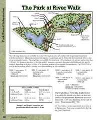
The Park at Riverwalk, Bakersfield California Map
Map of The Park at Riverwalk in Bakersfield California, including the fees for reservable areas.
177 miles away

Bakersfield Commons Site Features Map
178 miles away

Bakersfield Commons Conceptual Site Plan Map
178 miles away

Bakersfield Commons Phase 1 Alt Map
178 miles away

Bakersfield Commons Existing and Proposed Zoning...
178 miles away
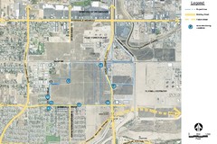
Bakersfield Commons Noise Monitoring Map
178 miles away

Bakersfield Commons Site Existing Conditions Map
178 miles away

Bakersfield Commons Proposed Retention Areas Map
178 miles away
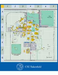
California State University Bakersfield Map
Campus map of California State University Bakersfield.
179 miles away

Town & Country Village Shopping Center in...
179 miles away
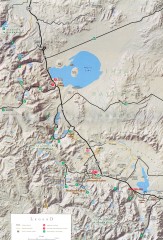
Eastern Sierra Trailhead Map - Lee Vining and...
Shows ranger stations and major trailheads in the eastern Sierra Nevada in the Mono Lake and...
179 miles away
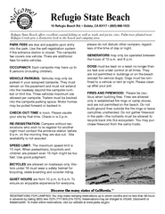
Refugio State Beach Campground Map
Map of campground region of beach with detail of trails and recreation zones
180 miles away
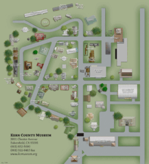
Kern County Museum Map
181 miles away
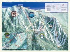
Sierra-at-Tahoe Ski Trail Map
Official ski trail map of Sierra-at-Tahoe ski area from the 2007-2008 season.
181 miles away
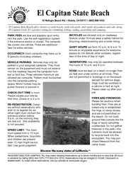
El Capitan State Beach Campground Map
Map of campground region park with detail of trails and recreation zones
182 miles away
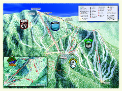
Sierra-at-Tahoe Ski Trail Map
Trail map from Sierra-at-Tahoe, which provides downhill and terrain park skiing. It has 12 lifts...
182 miles away
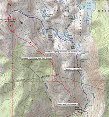
Pyramid Peak Ski Route Map
Backcountry ski route map of Pyramid Peak 9983 ft in the Desolation Wilderness near Lake Tahoe...
182 miles away
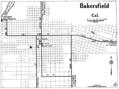
Bakersfield California, 1917 Map
182 miles away

Kern County California Map
182 miles away

Kern County District Supervisor Areas Map
Last Modified 12/13/2005
182 miles away
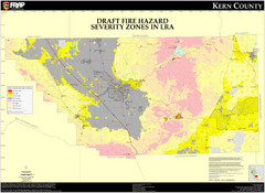
Fire Hazard Severity Zones, Kern County...
Fire Hazard Severity Zones, Kern County California: Local Responsibility Area
182 miles away

Fire Hazard Severity Zones, Kern County...
Fire Hazard Severity Zones, Kern County California: State Responsibility Area
182 miles away

Census Places and Cities in Kern County...
182 miles away

Kern County, 1916 Map
Kern County, 1916 Map, from California Mineral Production for 1919 (with County Maps), Bulletin No...
182 miles away

Kern County Boat Ramps Locator Map
The numbered locations can be found at http://www.boatrampslocator.com/california-kern-county-boat...
182 miles away
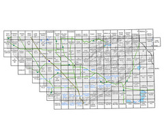
Awareness Floodplain Maps, Kern County Map
The maps labeled in blue have completed Awareness Floodplain Maps. The maps labeled in black are...
182 miles away

Kern County Map
182 miles away

