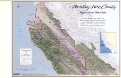
Monterey Wine Country: Appellation Overview Map
The Monterey region is world-famous for unparalleled scenic beauty, golf, and cuisine. Millions of...
0 miles away
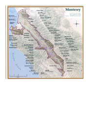
Monterey Wine Country: Appellation Overview Map
The Monterey region is world-famous for unparalleled scenic beauty, golf, and cuisine. Millions of...
0 miles away
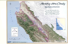
Monterey Wine Country: Appellation Overview Map
The Monterey region is world-famous for unparalleled scenic beauty, golf, and cuisine. Millions of...
0 miles away
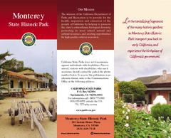
Monterey State Historic Park Map
Map of park with detail of trails and recreation zones
less than 1 mile away
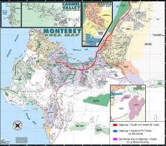
Monterey Area Map
Shows Monterey / Carmel area. Has legend on it with route highlighted to Naval housing.
less than 1 mile away
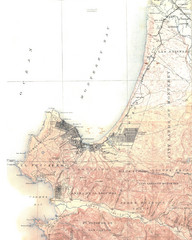
Monterey Map
4 miles away
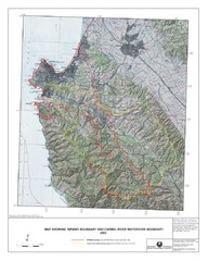
Monterey Peninsula and Carmel River Watershed...
This map contains a digital raster graphic topographic base map of the Monterey Peninsula Water...
5 miles away

Laguna Seca Raceway Map
Overview map of the Laguna Seca Raceway. Shows track, parking, and facilities.
8 miles away
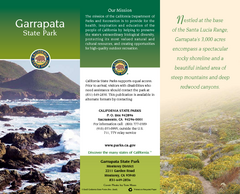
Garrapata State Park Map
Map of park with detail of trails and recreation zones
9 miles away

Toro County Park Map
Trails of Toro County Park, Salinas Ca.
11 miles away
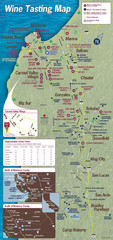
Monterey area wineries map
Map of wineries with public tasting rooms in the Monterey area
13 miles away
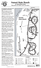
Sunset State Beach Campground Map
Map of park with detail of trails and recreation zones
20 miles away
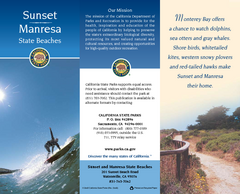
Sunset & Manresa State Beaches Map
Map of beaches and parks with detail of trails and recreation zones
21 miles away

Fremont Peak State Park Map
Map of park with detail of trails and recreation zones
24 miles away
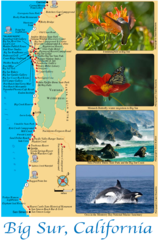
Big Sur Map
Tourist map of Highway 1 area near Big Sur, California
25 miles away
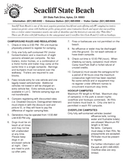
Seacliff State Beach Campground Map
Map of campground region of beach and park with detail of trails and recreation zones
26 miles away
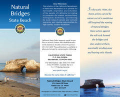
Natural Bridges State Beach Map
Map of beach and park with detail of trails and recreation zones
26 miles away
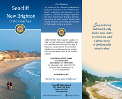
Seacliff & New Brighton State Beaches Map
Map of beaches and parks with detail of trails and recreation zones
26 miles away
San Juan Bautista State Historic Park Map
Map of park with detail of trails and recreation zones
26 miles away
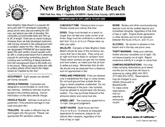
New Brighton State Beach Campground Map
Map of campground region of beach/park with detail of trails and recreation zones
26 miles away
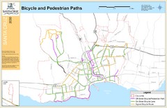
Santa Cruz, CA Bike Map
27 miles away
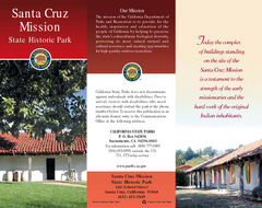
Santa Cruz Mission State Historic Park Map
Map of park and mission
27 miles away

Santa Cruz, California City Map
27 miles away
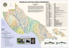
Steelhead and Coho Salmon Distribution Map...
Shows the current distribution of steelhead and resident rainbow trout and coho salmon in Santa...
27 miles away
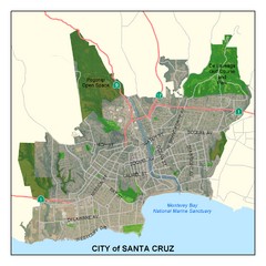
Santa Cruz City Limits Map
Map shows the city limits boundries of Santa Cruz, California
28 miles away
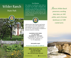
Wilder Ranch State Park Map
Map of park with detail of trails and recreation zones
28 miles away
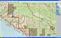
Timber Top, Big Sur Map
Route we climbed to Timber Top in Big Sur. Very steep trail.
29 miles away
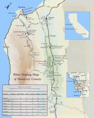
Wine tasting map of Monterey County
Wine tasting map of Monterey County, California, showing vineyards, wineries, and approximate drive...
30 miles away
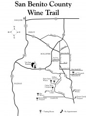
San Benito County Wine Trail Map
Wineries in the San Benito County, California area.
31 miles away
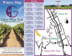
Gilroy Wine Tasting Map
33 miles away
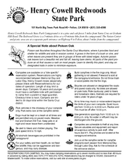
Henry Cowell Redwoods State Park Campground Map
Map of campground region of park with detail of trails and recreation zones
34 miles away
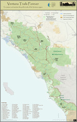
Ventana Wilderness Trails Map
Trail map of the Ventana Wilderness east of Big Sur. Also shows trails in the Silver Peak...
39 miles away
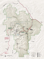
Pinnacles National Monument Map
41 miles away
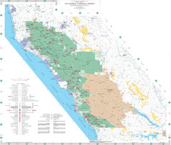
Los Padres National Forest Map - North
Overview map of the northern section of Los Padres National Forest in the Monterey Ranger District...
42 miles away
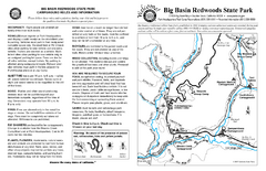
Big Basin Redwoods State Park Map
Map of park with detail of trails and recreation zones
44 miles away

Montery Bay Sea Floor Map
44 miles away
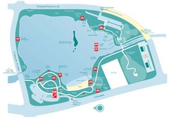
Almaden Lake Park Map
44 miles away
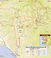
Big Basin Redwoods State Park Trail Map
Topographical trail map of Big Basin Redwoods State Park. Shows roads, trails, natural and other...
45 miles away
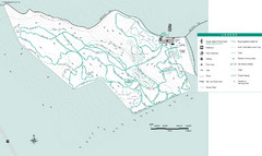
Motorcycle County Park Map
Map of Motorcycle County Park in Santa Clara County near San Jose, California. Shows all park...
45 miles away
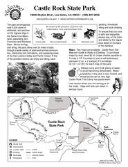
Castle Rock State Park Map
Map of park with detail of trails and recreation zones
45 miles away

