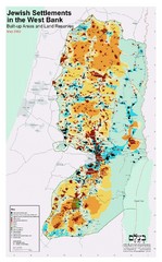
Jewish Settlements in West Bank Map
Shows Jewish settlements in West Bank of Israel.
721 miles away
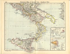
Ancient Italy, Southern Part Map
Reference Map of ancient Italy, southern part. Shows insets of Naples and Syracuse.
721 miles away
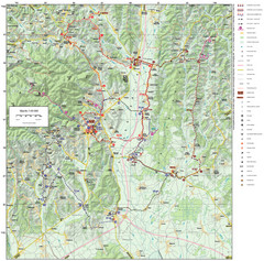
Zagreb County Cycling Route Map
Shows a cycling route in Zagreb County, Croatia. From the Roman “Magna Vie” near Komin...
722 miles away
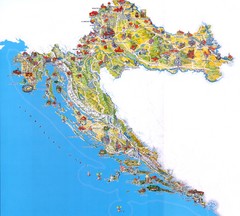
Croatia Tourist Map
Attractions and locations in Croatia
723 miles away
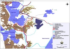
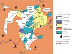
Anata Village Geopolitical Map
Geopolitical map of Anata Village in the West Bank and surrounding areas
724 miles away
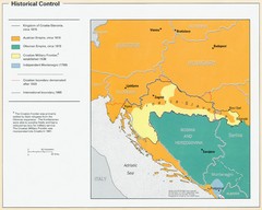
Croatia Historical Control Map
725 miles away
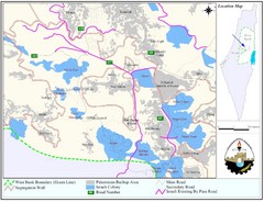
West Bank Village Map
Demographic map of several villages in the West Bank surrounding Jerusalem.
725 miles away
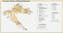
Croatia Economic Activity Map
Map of Croatia's economic activity and natural resources
726 miles away
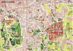
Jerusalem Tourist Map
726 miles away
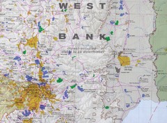
Jerusalem Tourist Map
726 miles away
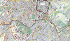
Jerusalem Map
Map of Jerusalem, Israel. Old Jerusalem highlighted. Scanned.
726 miles away
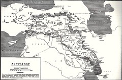
Kurdistan map
Kurdistan: is the Kurdish people home lan. Its area is about 500ooo squaire kilometer,of the Middle...
726 miles away
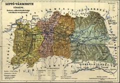
1910 Hungarian Map
Guide to area of Slovakia, previously part of Hungary
728 miles away
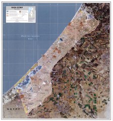
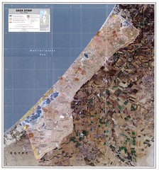
Gaza Strip Map
Shows various boundaries as of 2005
730 miles away
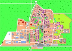
Slavutich Town Map
Town map of Slavutich, Ukraine. "The town of Slavutich is the youngest town in former Soviet...
730 miles away
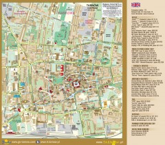
Tarnow Tourist Map
Tourist map of the center of Tarnow, Poland
732 miles away
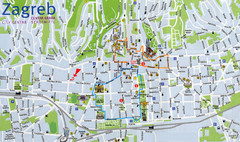
Zagreb Croatia Tourist Map
Zagreb City Centre Tourist map showing tourist attractions, hotels, tourist information and city...
733 miles away
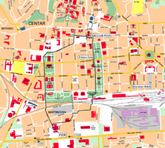
Zagreb Center Map
733 miles away
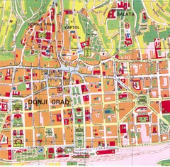
Zagreb Tourist Map
Tourist map of central Zagreb, Croatia. Shows major buildings.
733 miles away
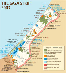
Gaza Strip Map
Map of area with detail of settlements and divisions
733 miles away
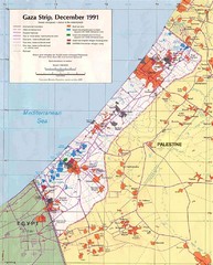
Maps Gaza5 Map
Palestine Maps - Palestine - Home of
734 miles away
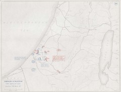
First Battle of Gaza Map 1917
WWI Palestine Front 3/26/1917
734 miles away
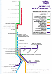
Israel Railways Map
Map of railway lines throughout countries
734 miles away
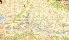
Central Caucasus Map
Overview map of the central Caucasus mountains from Mt. Elbrus east in Russia and Georgia. In...
735 miles away
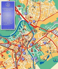
Nitra City Map
City map of central Nitra, Slovakia
735 miles away
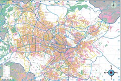
Greater Amman Map
735 miles away
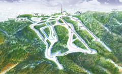
Medvednica Ski Trail Map
Trail map from Medvednica.
736 miles away
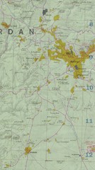
Amman, Jordan City Map
736 miles away
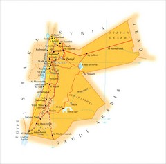
Jordan Map
Map of Jordan showing cities, archaeological and tourist sites.
736 miles away
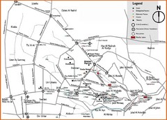
Amman City Tourist Map
Slightly outdated tourist map showing the western more touristy side of Amman.
737 miles away
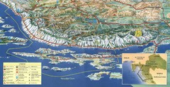
Pag Island Panoramic Map
Shows area around island of Pag, Croatia
742 miles away
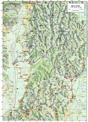
Villages and Sutla River Valley Bike Route Map
Bike routes and trails through the villages to the Sutla River Valley in Croatia. Note: The map...
743 miles away
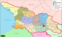
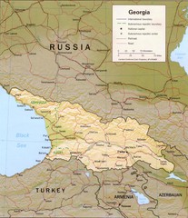
Georgia Administrative Map
Administrative map of the country of Georgia.
745 miles away
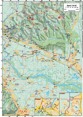
Sulta and Sava Croatia Cycling Route Map
the trails on this map are through picturesque hills to the confluence of the Sutla and Sava Rivers...
746 miles away

