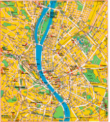
Budapest Tourist Map
665 miles away
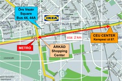
Local Budapest Tourist Map
Stores, main streets and locations in Central Budapest
665 miles away
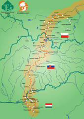
Amber Trail Budapest-Krakow Map
Amber Trail map showing the trail from Budapest to Krakow where you will see several heritage sites.
665 miles away
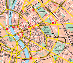
Budapest Street Map
Street map of central Budapest, Hungary.
665 miles away
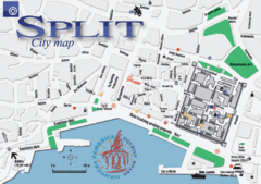
Split Tourist Map
Tourist map of central Split, Croatia.
666 miles away
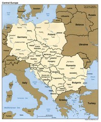
Central Europe Country Map
666 miles away
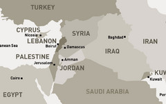
Middle East - North Map
Map of the northern section of the Middle East Countries. Countries ad capitals identified.
670 miles away
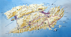
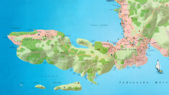
Vis Island Map
675 miles away
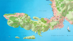
Okrug Donji and Okrug Gornji Tourist Map
Tourist map of Okrug Donji, Croatia and Okrug Gornji, Croatia
675 miles away
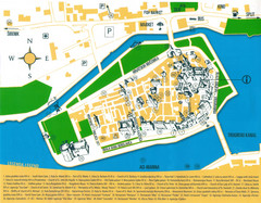
Trogir Croatia Tourist Map
Trogir, Croatia tourist map showing monuments and tourist sites with a legend.
675 miles away
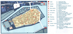
Trogir Tourist Map
Tourist map of old island town Trogir, Croatia. Shows points of interest.
675 miles away
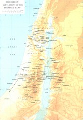
Promised Land Hebrew Settlement Map
Shows division of promised land to twelve tribes of Israel
675 miles away
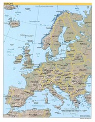
Europe relief Map
Map of Europe showing mountains, cities, countries and borders
675 miles away
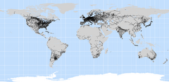
World Railways Map
Railways and transportation around the world
675 miles away
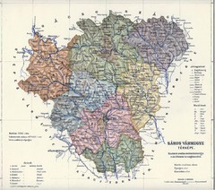
1910 Hungarian Map
Guide to historic Hungary, current Slovakia
676 miles away
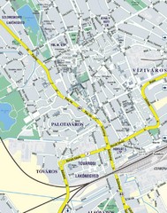
Székesfehérvár City Map
City Map of Székesfehérvár
677 miles away
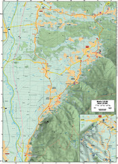
Cycling Paths in Croatia - Medvednica Nature Park...
Bike Paths and Routes for the picturesque western foothills of Medvednica Nature Park. Note: The...
680 miles away
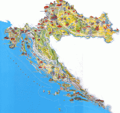
Croatia Tourist Map
Cool illustrated tourist map highlights significant tourist destinations with drawings of buildings...
680 miles away
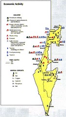
Israel Economic Activity Map
Map of Israel's economic activity
680 miles away

Harmanli Tourist Map
Central Harmanli in Bulgaria
681 miles away
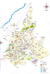
Batman City Map
City map of Batman with attractions
681 miles away
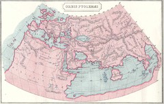
Ptolemy World Map
Map of the World according to Ptolemy
682 miles away
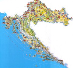
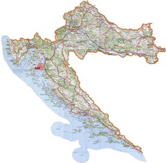
Tourist Map of Croatia
683 miles away
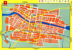
Novoaleksandrovsk Street Map
Street map of Novoaleksandrovsk, Russia
686 miles away
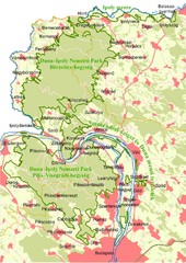
Duna-Ipoly Nemzeti Park Map
Overview map of Duna-Ipoly Nemzeti Park (Danube-Ipoly National Park) north of Budapest, Hungary
687 miles away
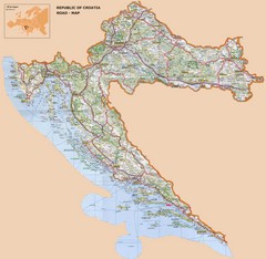
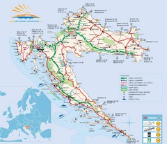
Croatia Road Map
689 miles away
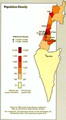
Israel Population Density Map
Map of Israel's population density
690 miles away
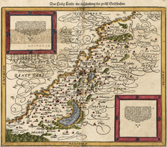
Munster’s Map of the Holy Land (1588)
Sebastian Munster's map of the Abrahamic Holy Land in 1588.
691 miles away
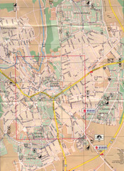
Veszprem City Map
City map of Veszprem, Hungary. Scanned.
692 miles away
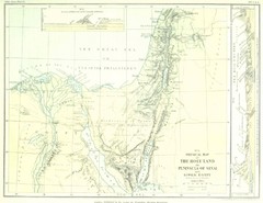
Israel and Sinai Map
The Holy Land -- Peninsula of Sinai -- Lower Egypt
692 miles away
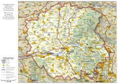
Duna-Ipoly Nemzeti National Park Map
Reference map of Duna-Ipoly Nemzeti National Park and surrounding area north of Budapest, Hungary
692 miles away
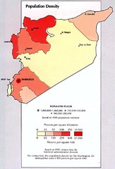
Syria Population Density Map
Map of Syria's population density
694 miles away
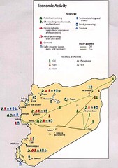
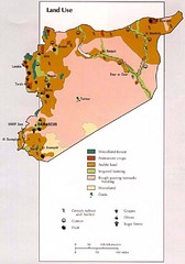
Syria Economic Activity Map
Map of Syria's economic activity
694 miles away
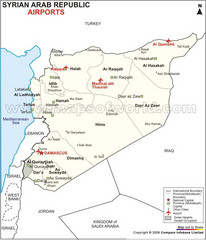
Syria Tourist Map
694 miles away
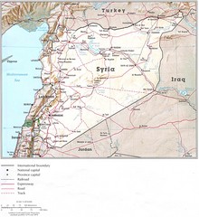
Syria Country Map
694 miles away
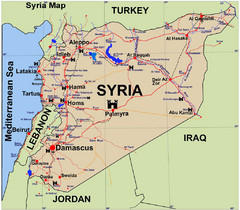
Syria Guide Map
694 miles away

