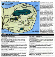
Butrint and its monuments Map
482 miles away
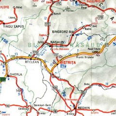
Bistrita-Nasaud Map
484 miles away
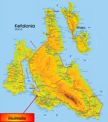
Kefalonia Map
486 miles away
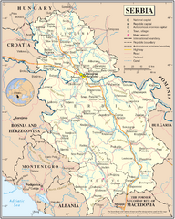
Serbia and surrounding area Map
Serbia in relation to surrounding regions.
486 miles away
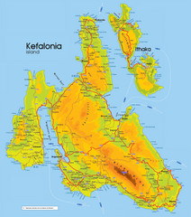
Kefalonia and Ithaka Map
Detailed elevation map of islands of Kefalonia and Ithaka (Ithaki), Greece
487 miles away
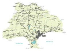
Limassol District Map
Map of Limassol District, Cyprus
488 miles away
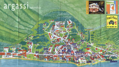
Argassi Tourist Map
Tourist map of Argassi, Zakynthos Island, Greece. Shows all businesses. Scanned.
488 miles away
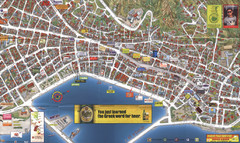
Zakynthos Town Map
Detailed tourist map of Zakynthos Town, Zakynthos Island, Greece. Shows businesses.
488 miles away
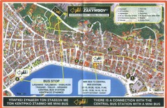
Zakynthos City Tourist Map
Tourist map of Zakynthos city on Zakynthos Island. Shows major points of interest and bus routes...
488 miles away
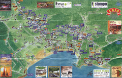
Tsilivi Tourist Map
Tourist map of town of Tsilivi, Zakynthos Island, Greece. Shows businesses. Scanned
489 miles away
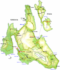
Kefalonia and Ithaka Overview Map
Overview map of the islands of Kefalonia and Ithaka (Ithaki), Greece.
489 miles away
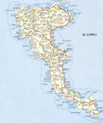
Corfu Guide Map
489 miles away
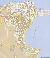
Corfu Town Map
Tourist map of town of Corfu (Kerkyra) on the island of Corfu, Greece.
489 miles away
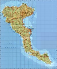
Corfu Tourist Map
Tourist map of island of Corfu, Greece. Shows roads and points of interest.
489 miles away
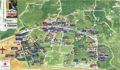
Kalamaki Zakynthos Tourist Map
Tourist map of town of Kalamaki on Zakynthos Island. Scanned.
490 miles away
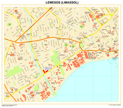
Limassol Town Map
491 miles away
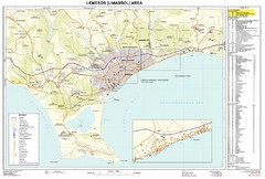
Limassol, Cyprus Tourist Map
491 miles away
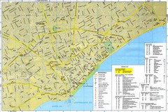
Limassol Tourist Map
Tourist map of Limassol, Cyprus. Shows hotels, consulates, and other points of interest.
491 miles away
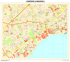
Lemesos Map
492 miles away
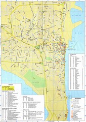
Larnaca Tourist Map
Tourist map of Larnaca, Cyprus. Shows hotels and hotel apartments.
492 miles away
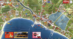
Alykanas and Alykes Map
Tourist map of Alykanas and Alykes, Zakynthos Island, Greece. Shows businesses.
492 miles away
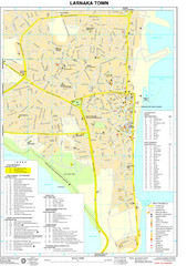
Larnaka Tourist Map
Tourist map of central Larnaka, Cyprus. Shows points of interest
492 miles away
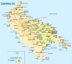
Zakinthos Tourist Map
Tourist map of island of Zakinthos, Greece. Shows symbols for tourist activities.
493 miles away
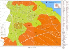
Paralimni Tourist Map
Tourist and street map of Paralimni, Cyprus. Shows streets, hotels, and other points of interest.
493 miles away
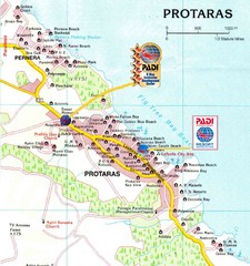
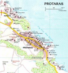
Protaras Map
493 miles away
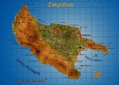
Zakynthos Tourist Map
Tourist map of island of Zakynthos, Greece. Shows points of interest. Scanned.
494 miles away
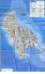
Zakynthos Island Map
Detailed map of Zakynthos Island. Scanned
494 miles away
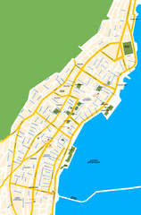
Argostoli City Map
Simple street map of island city of Argostoli, Kefalonia, Greece. Some points of interest shown.
495 miles away
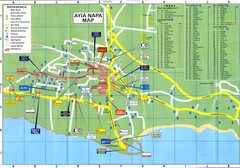
Aiya Napa Hotel Map
498 miles away
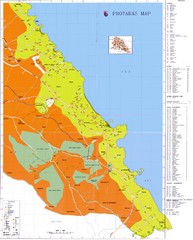
Protaras Tourist Map
Tourist map of Protaras, Cyprus, in the southeast region of the island. Shows hotels and other...
499 miles away
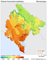
Solar Radiation Map of Montenegro
Solar Radiation Map Based on high resolution Solar Radiation Database: SolarGIS. On the Solar Map...
504 miles away
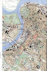
Belgrade Map
City map of Belgrade, Serbia (Beograd)
506 miles away

Arkabarka Hostel Location Map
506 miles away
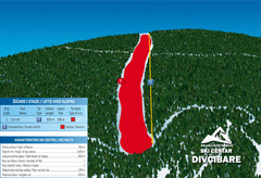
Ski Centar Divcibare Ski Trail Map
Trail map from Divcibare.
506 miles away
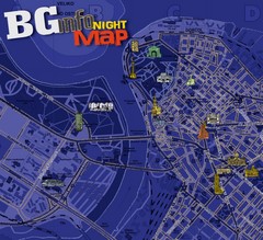
Belgrade Night Map
Tourist map of Belgrade, Serbia with recommendations for nightlife. Published quarterly in...
507 miles away
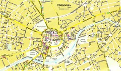
Timisoara Tourist Map
Tourist map of central TimiÅŸoara, Romania. Shows points of interest.
509 miles away
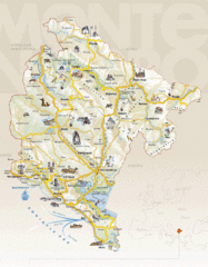
Montenegro Tourist Map
510 miles away
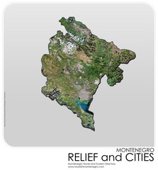
Montenegro Physical Map
510 miles away

