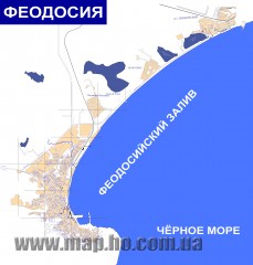
Plan of the Feodosiya (in Russian) Map
Plan of the Feodosiya (in Russian)
464 miles away
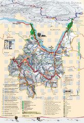
Majdanpek Tourist Map
Tourist map of municipality of Majdanpek, Serbia. Shows points of interest. In Serbian.
466 miles away
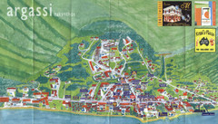
Argassi Tourist Map
Tourist map of Argassi, Zakynthos Island, Greece. Shows all businesses. Scanned.
468 miles away
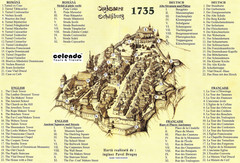
Sighisoara Town Map 1735
Old town map of building in Sighisoara, Romania. With points of interest in several languages
468 miles away
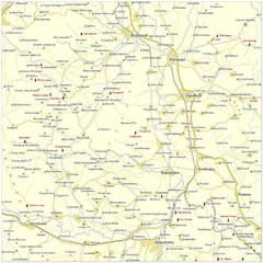
Monasteries in central Serbia (Levač area) Map
Levač is historic area in the central part of Serbia around Morava river.
469 miles away
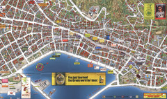
Zakynthos Town Map
Detailed tourist map of Zakynthos Town, Zakynthos Island, Greece. Shows businesses.
469 miles away
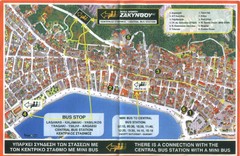
Zakynthos City Tourist Map
Tourist map of Zakynthos city on Zakynthos Island. Shows major points of interest and bus routes...
469 miles away
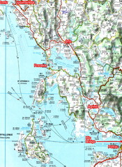
Igoumenitsa to Patras Travel Map
469 miles away
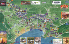
Tsilivi Tourist Map
Tourist map of town of Tsilivi, Zakynthos Island, Greece. Shows businesses. Scanned
469 miles away
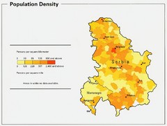
Serbia and Montenegro Population Map
Map of Serbia and Montenegro's population map
470 miles away
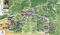
Kalamaki Zakynthos Tourist Map
Tourist map of town of Kalamaki on Zakynthos Island. Scanned.
470 miles away
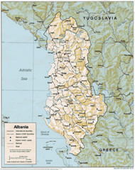
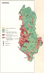
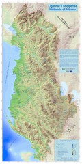
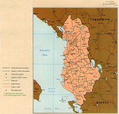
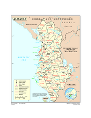
Albanian map
470 miles away
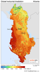
Solar Radiation Map of Albania
Solar Radiation Map Based on high resolution Solar Radiation Database: SolarGIS. On the Solar Map...
470 miles away
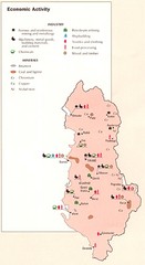
Albania Economic Activity Map
Map of Albania's economic activity
470 miles away
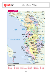
Albania Regional Map
Country map with detail of regional divides
470 miles away
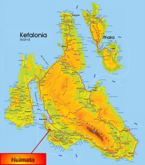
Kefalonia Map
470 miles away
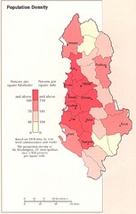
Albania Population Map
Population density map of Albania
471 miles away
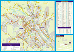
Chisinau Public Transportation Map
Public Transportation map of Chisinau, Moldova with street index. Shows bus routes. Inset of...
471 miles away
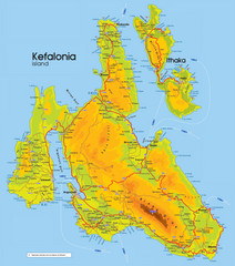
Kefalonia and Ithaka Map
Detailed elevation map of islands of Kefalonia and Ithaka (Ithaki), Greece
472 miles away
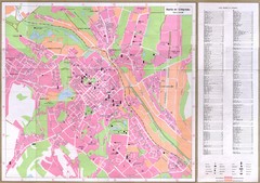
Chisinau City Map
Tourist map of capital city
472 miles away
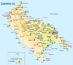
Zakinthos Tourist Map
Tourist map of island of Zakinthos, Greece. Shows symbols for tourist activities.
473 miles away
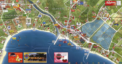
Alykanas and Alykes Map
Tourist map of Alykanas and Alykes, Zakynthos Island, Greece. Shows businesses.
473 miles away
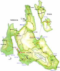
Kefalonia and Ithaka Overview Map
Overview map of the islands of Kefalonia and Ithaka (Ithaki), Greece.
474 miles away
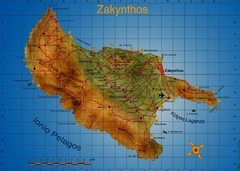
Zakynthos Tourist Map
Tourist map of island of Zakynthos, Greece. Shows points of interest. Scanned.
474 miles away
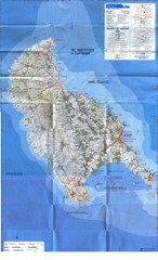
Zakynthos Island Map
Detailed map of Zakynthos Island. Scanned
475 miles away
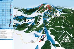
Ski Centar Kopaonik Ski Trail Map
Trail map from Kopaonik.
476 miles away
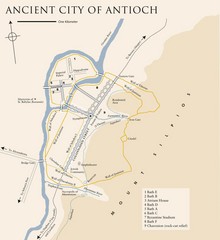
Antioch City Map
City map of Antioch with attractions
476 miles away
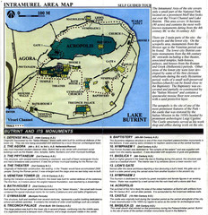
Butrint and its monuments Map
479 miles away
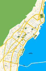
Argostoli City Map
Simple street map of island city of Argostoli, Kefalonia, Greece. Some points of interest shown.
480 miles away
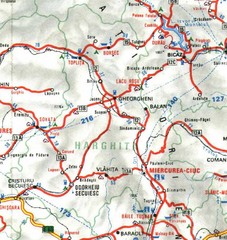
Harghita Map
480 miles away

East Central and Southeast Europe Nationality Map
Shows color-coded nationalities on map of central eastern and southeastern Europe. 1989-1992
480 miles away
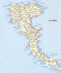
Corfu Guide Map
486 miles away
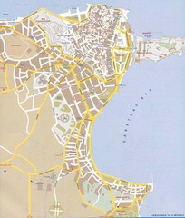
Corfu Town Map
Tourist map of town of Corfu (Kerkyra) on the island of Corfu, Greece.
486 miles away
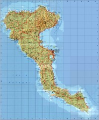
Corfu Tourist Map
Tourist map of island of Corfu, Greece. Shows roads and points of interest.
486 miles away
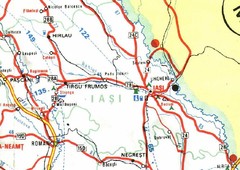
Iasi Map
487 miles away
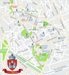
Iasi Tourist Map
Tourist map of central Iasi, Romania. Shows theaters, museums, and churches.
487 miles away

