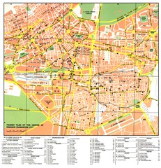
Damascus City Tourist Map
Tourist map of the center of Damascus, Syria.
612 miles away
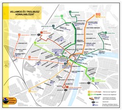
Szeged Public Transportation Map (Hungarian)
612 miles away

Danube River Basin by Maps Illustrated Map
Map from Diplomat magazine from an article on the economic region based on the Danube Basin
612 miles away
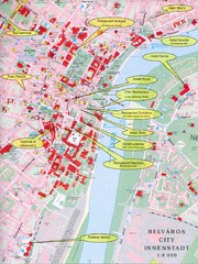
Szeged Tourist Map
Tourist map of central Szeged, Hungary. Shows points of interest.
612 miles away
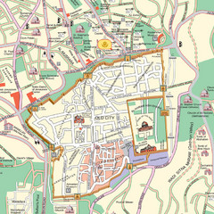
Damascus Tourist map
612 miles away
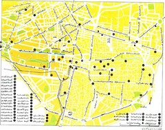
Damascus Tourist map
612 miles away
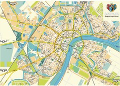
Szeged Map
Map of central Szeged, Hungary
613 miles away

Bács Map
613 miles away

Bácstopolya Map
613 miles away

Bácskossuthfalva Map
622 miles away
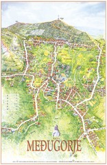
Medjugorje Tourist Map
Tourist map of town of Medjugorje, Bosnia & Herzegovina.
622 miles away
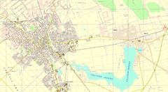
Szabadka és környéke Map
622 miles away
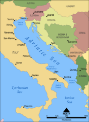
Adriatic Sea Tourist Map
623 miles away
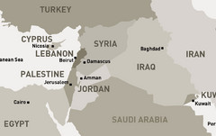
Middle East - North Map
Map of the northern section of the Middle East Countries. Countries ad capitals identified.
624 miles away
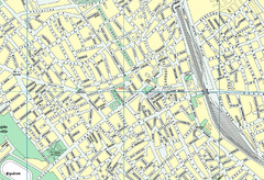
Szabadka belváros Map
624 miles away
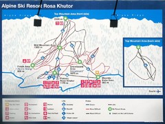
Rosa Khutor Ski Trail Map
Ski trail map of Rosa Khutor in Russia, site of all alpine skiing and snowboarding events in the...
624 miles away
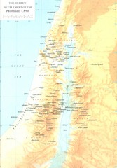
Promised Land Hebrew Settlement Map
Shows division of promised land to twelve tribes of Israel
624 miles away
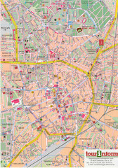
Debrecen Tourist Map
Tourist map of Debrecen Terkep, Hungary.
626 miles away
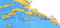
Dubrovnik Region Map
627 miles away

Bajmok Map
628 miles away
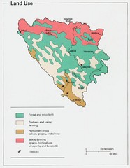
Bosnia and Herzegovina Land Use Map
Map of Bosnia's land use
630 miles away
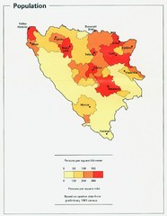
Bosnia and Herzegovina Population Density Map
Map of Bosnia and Herzegovina's population density
633 miles away
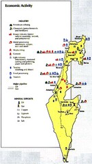
Israel Economic Activity Map
Map of Israel's economic activity
633 miles away
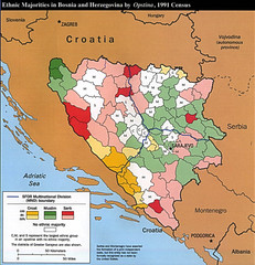
Ethnic Majorities in Bosnia and Herzegovina Map
634 miles away
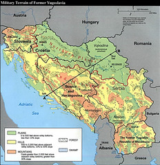
Bosnia and Herzegovina Military Terrain Map
Map of military terrain of former Yugoslavia
637 miles away
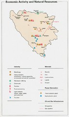
Bosnia and Herzegovina Economic Activity Map
Map of economic activity throughout Bosnia and Herzegovina
637 miles away
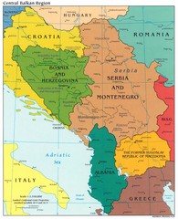
Central Balkan Political Map
637 miles away
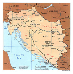
West Balkan States Tourist Map
637 miles away
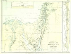
Israel and Sinai Map
The Holy Land -- Peninsula of Sinai -- Lower Egypt
637 miles away
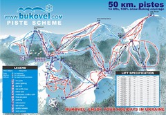
Bukovel Ski Resort Map
Map of Bukovel's slopes, lifts and resort
638 miles away
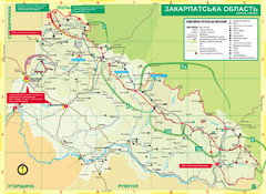
Transcarpathia Hiking Trail Map
Map of the Transcarpathia Hiking Trail (THT) in Ukraine. Trail runs through the territory of...
641 miles away
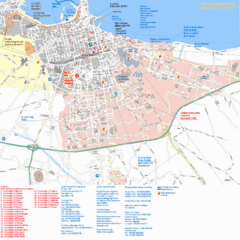
Bari Tourist Map
Tourist map of Bari, Italy. Shows consulates and points of interest.
641 miles away
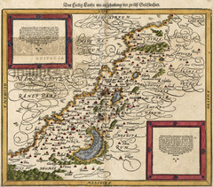
Munster’s Map of the Holy Land (1588)
Sebastian Munster's map of the Abrahamic Holy Land in 1588.
642 miles away
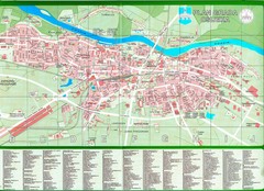
Osijek City Map
City map of Osijek, Croatia. With street index.
642 miles away
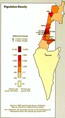
Israel Population Density Map
Map of Israel's population density
643 miles away
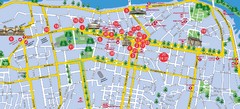
Dnepropetrovsk Downtown Map
Map of central Dnepropetrovsk, Ukraine's third largest city
643 miles away

Dnipropetrovs'k Metro Map (Russian)
Metro map of Dnipropetrovs'k. Schematic, not tied to geography. In Russian.
643 miles away
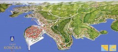
Korcula Tourist Map
Panoramic tourist map of town of Korcula, Croatia and surroundings. From korculainfo.com: "...
644 miles away
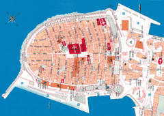
Korcula Tourist Map
Tourist map of old town Korcula, Croatia
644 miles away

