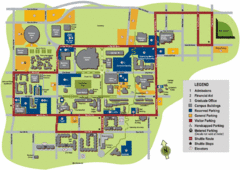
University of Tennessee Chattanooga Campus Map
Official campus map of University of Tennessee Chattanooga.
0 miles away

University of Tennessee Map
Campus map
less than 1 mile away
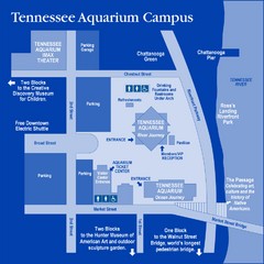
Tennessee Aquarium Campus Map
Map of Tennessee Aquarium Campus includes location of all buildings, bathrooms, parking, and...
1 mile away
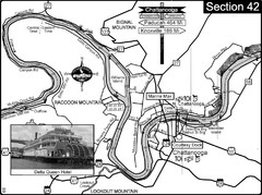
Chattanooga, TN Tennessee River Map
For boating navigational information and river road travel along the Tennessee River.
2 miles away
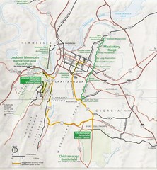
Chattanooga Guide Map
3 miles away
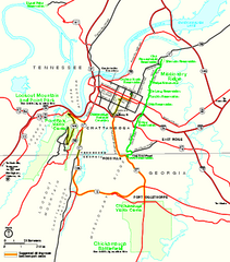
Chickamauga & Chattanooga National Military...
Official NPS map of Chickamauga & Chattanooga National Military Park in Georgia. All units of...
9 miles away
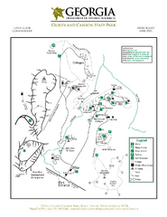
Cloudland Canyon State Park Map
Map of park with detail of trails and recreation zones
18 miles away
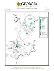
Fort Mountain State Park Map
Map of park with detail of trails and recreation zones
39 miles away
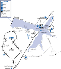
James H. Floyd State Park Map
Map of park with detail of trails and recreation zones
42 miles away
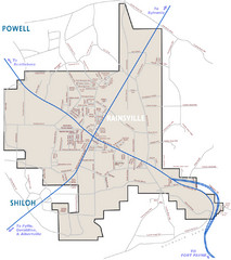
Rainsville Street Map
Chamber of Commerce Business Guide
49 miles away

Little River Canyon Tourist Map
Little River Canyon, Alabama
57 miles away

Guntersville Lake Map
60 miles away
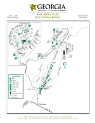
Amicalola Falls State Park Map
Map of park with detail of trails and recreation zones
69 miles away
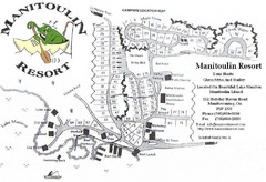
Manitoulin Resort Map
70 miles away
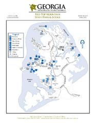
Red Top Mountain State Park Map
Map of park with detail of trails and recreation zones
71 miles away
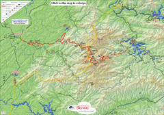
Cherohala Map
Map of Cherohala Skyway. Includes Visitor Information, roads, camping areas, and trails.
71 miles away
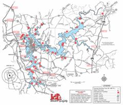
Allatoona Lake Map
71 miles away
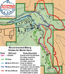
Monte Sano State Park Bike Routes Map
Recommended Biking Routes for Monte Santo with Easy to difficult routes marked.
72 miles away
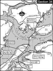
Guntersville, AL Tennessee River/Lake...
For boating navigational information and river road travel along the Tennessee River. This section...
72 miles away
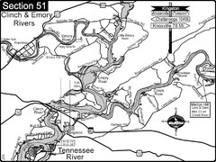
Kingston, TN Tennessee River/Clinch River/Emory...
Shows a bend on the Tennessee River at the confluence of the Clinch & Emory Rivers. For boat...
75 miles away
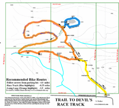
Wade Mountain Map
Recommended Bike Routes for Wade Mountain including the trail to Devil's Race Track
76 miles away
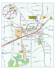
Huntsville, Alabama City Map
77 miles away
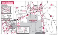
Huntsville Alabama Tourist Map
Map of Huntsville, Alabama showing hotels and streets for the downtown area.
77 miles away
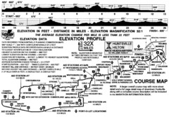
Rocket City Marathon Elevation Map
Course Map and Elevation Profile of the Rocket City Marathon in Huntsville, AL
77 miles away
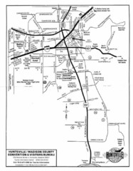
Huntsville City Map
City map of Huntsville, Alabama
78 miles away
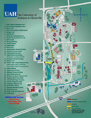
University of Alabama in Huntsville Map
Campus Map
79 miles away
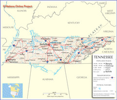
Tennessee Tourist Map
79 miles away
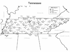
Tennessee Airports Map
79 miles away
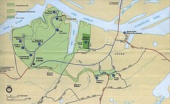
Civil War Era Tennessee State Battle Map
79 miles away
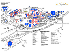
Kennesaw State University Map
Kennesaw State University Campus Map. All buildings shown.
81 miles away
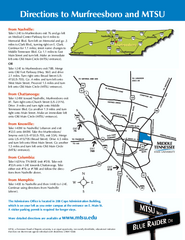
Middle Tennessee State University Map
Middle Tennessee State University Campus Map. All buildings shown.
83 miles away

Detailed Map of Hawkesdene House area
Detailed map of how to get to Hawkesdene House B&B Inn
84 miles away
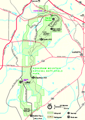
Kennesaw Mountain National Battlefield Park...
Official NPS map of Kennesaw Mountain National Battlefield Park in Georgia. We are a day use only...
86 miles away
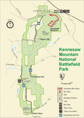
Kennesaw Moutain National Battlefield Park Map
86 miles away
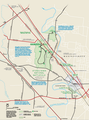
Stones River National Battlefield Official Map
Official NPS map of Stones River National Battlefield in Virginia. 8 AM to 5 PM Daily Pedestrians...
86 miles away
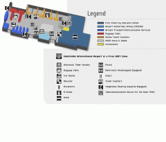
Huntsville International Airport Map
Official Map of Huntsville International Airport in Wisconsin. Shows all terminals and facilities.
88 miles away
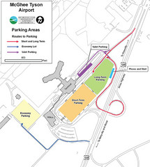
McGhee Tyson Airport Map
91 miles away
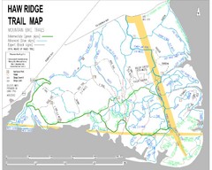
Haw Ridge Trail Map
92 miles away
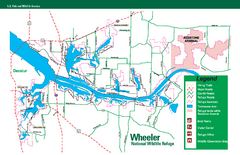
Wheeler National Wildlife Refuge Map
Map of Wheeler National Wildlife Refuge. Includes all roads, hiking trails, camp grounds and...
92 miles away
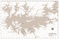
Pirate Map of Lake Sidney Lanier
Retro look pirate's map of Lake Sidney Lanier near Atlanta, Georgia
94 miles away

