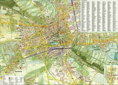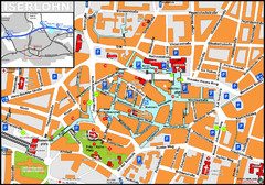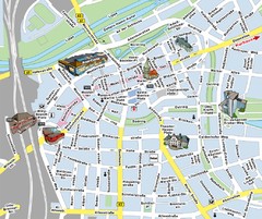
Hamm Center Tourist Map
Tourist street map of Hamm center
338 miles away
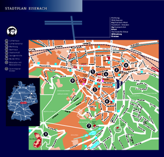
Eisenach Tourist Map
Tourist street map of Eisenach
339 miles away
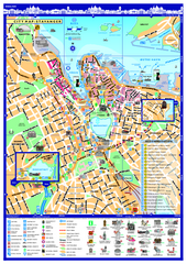
Stavanger City Map
Tourist map of Stavanger, Norway city center. Shows points of interest, accommodations, and...
342 miles away
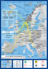
Air, Ferry and Rail Links to Stavanger Map
342 miles away
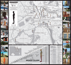
Antony Gormley - Broken Column - Stavanger Map
Broken Column sculptures by Antony Gormley. 23 site-specific placements of identical sculptures...
342 miles away
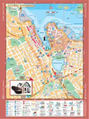
Stavanger Tourist Map
Tourist map of downtown Stavanger, Norway. Shows major buildings.
342 miles away
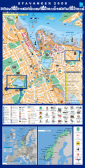
Stavanger Tourist Map
Tourist map of central Stavanger, Norway. Shows accommodations and other points of interest.
342 miles away
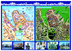
Stavanger City Center Aerial and Street Map
Tourist map of Stavanger, Norway. Shows street map and aerial photo map.
342 miles away

Beach Volleyball Swatch FIVB '09 World...
Shows all beach volleyball courts and tourist information for the Beach Volleyball Swatch FIVB...
342 miles away
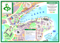
Gladmat Food Festival Map
Festival map of Gladmat from 2009. From the map: "More than 200,000 Norwegian and...
342 miles away

Europe Political Map
343 miles away
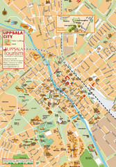
Uppsala Tourist Map
Tourist map of central Uppsala, Sweden. Shows public buildings, hotels, and other points of...
344 miles away
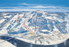
Branäs East Side Ski Trail Map
Trail map from Branäs.
345 miles away
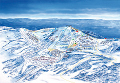
Branäs West Side Ski Trail Map
Trail map from Branäs.
345 miles away
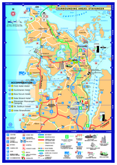
Stavanger Area Map
Tourist map of the area surrounding Stavanger, Norway. Shows accommodations and other points of...
345 miles away
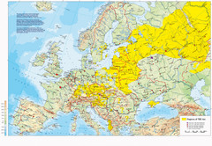
Incidents of Tick Borne Encephalitis in Europe...
Map of Tick Borne Encephalitis Endemic Areas
345 miles away
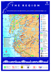
Stavanger Region Tourist Map
Tourist map of the Stavanger, Norway region. Shows points of interest.
346 miles away
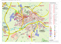
Homberg (Efze) Tourist Map
Tourist street map of Homberg
347 miles away
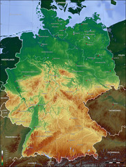
Germany Topo Map
Topographical map of Germany. Shaded by elevation in meters. Also shows major German cities.
347 miles away
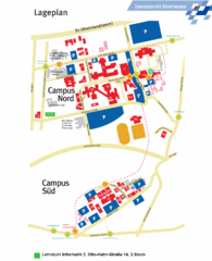
Universitat Dortumund Campus Map
349 miles away
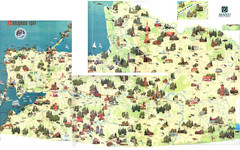
Kalinigrad region tourist map
350 miles away
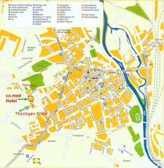
Saalfeld Tourist Map
Tourist street map of Saalfeld
351 miles away
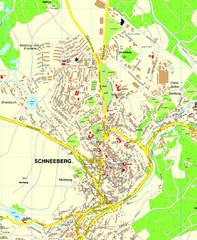
Schneeberg Map
Street map of city of Schneeberg
352 miles away
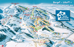
Winterberg Ski Trail Map
Trail map from Winterberg.
352 miles away
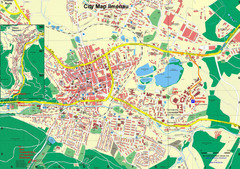
Ilmenau City Map
City map of Ilmenau, Germany
352 miles away
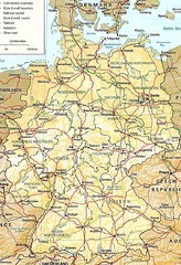
Germany Map
Map of Germany showing roads, railways and cities.
353 miles away
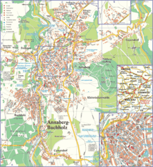
Annaberg-Buchholz Tourist Map
Tourist map of Annaberg-Buchholz region
353 miles away
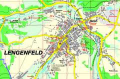
Lengenfeld Map
Street map of Lengenfeld
353 miles away
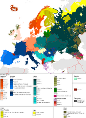
Languages of Europe Map
A map of the languages in Europe and where they originate.
354 miles away
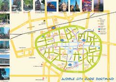
Dortmund Tourist Map
Tourist map of central Dortmund, Germany. Shows photos of points of interest along a walking audio...
356 miles away
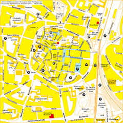
Recklinghausen Map
Street map of city
357 miles away
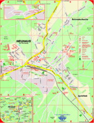
Neuhaus am Rennweg Map
Street map of Neuhaus am Rennweg
362 miles away
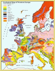
Western Europe Geology Map
Geological map of Western Europe. Modified after Kirkaldy 1967.
363 miles away
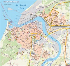
Ventspils city Map
364 miles away

