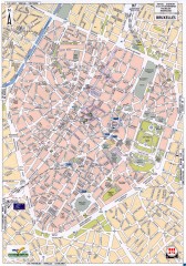
Brussels Street Map
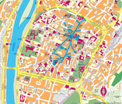
Street map of the center of Brussels, Belgium (Brussel, Bruxelles). Major buildings labeled.
476 miles away
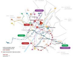
Brussels Transit Map
476 miles away
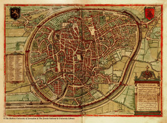
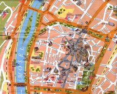
Medieval Brussels Map
476 miles away
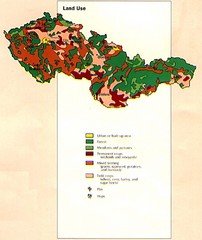
Czechoslovakia Land Use Map
Map of Czechoslovakia region land use
477 miles away
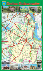
GNIEWOSZOW commune map, PL Map
Gniewoszow commune map Ed. 2007
477 miles away
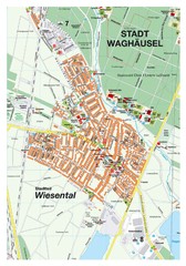
Wiesental Map
Street map of town of Wiesental
477 miles away
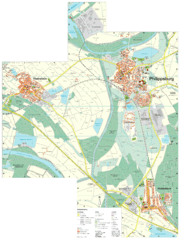
Philippsburg Map
Street map of Philippsburg
478 miles away
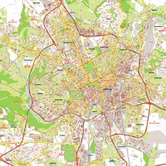
Brno Tourist Map
Tourist map of Brno, Czech Republic. Shows central Brno and surrounding area.
479 miles away
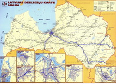
Latvia railroads Map
480 miles away
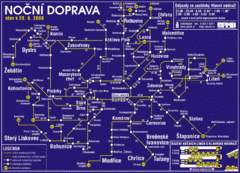
Brno Czech Republic Mass Transit Map
Mass Transit map showing all routes and stops in Brno, Czech Republic.
480 miles away
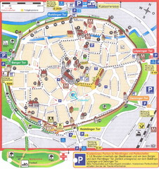
Nördlingen Tourist Map
Tourist street map of Nördlingen
480 miles away
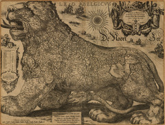
Jodocus Hondius’ Map of Belgium as a Lion...
Jodocus Hondius’ Map depicting Belgium as a Lion.
481 miles away
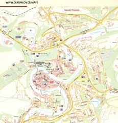
Cesky Krumlov Czech Republic Tourist Map
Tourist map of Cesky Krumlov, Czech Republic. Shows wc, buildings of historical interest and...
481 miles away
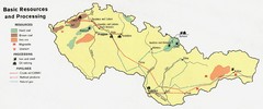
Czechoslovakia Resources Map (1974)
Map of 1974 Czechoslovakia resources
481 miles away
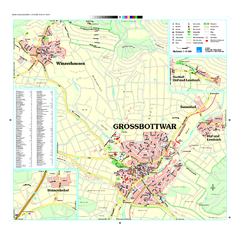
Großbottwar Map
Street map of Großbottwar and surrounding area
482 miles away
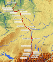
Romantische Strasse Map
482 miles away
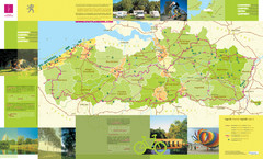
Flanders Camping and Cycling Map
Shows campgrounds and cycling routes in Flanders, Belgium
482 miles away
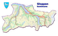
Gloppen Town Map
Topo map of Gloppen, Norway
483 miles away
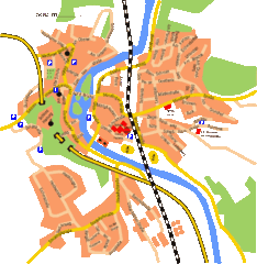
Harburg Map
Street map of Harburg town
483 miles away
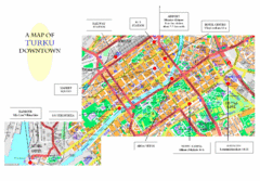
Turku City Map
City map of downtown Turku, Finland. Some hotels and transportation info highlighted.
484 miles away
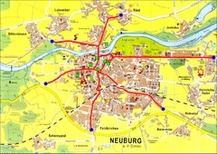
Neuburg an der Donau Map
Street map of Neuburg an der Donau
484 miles away
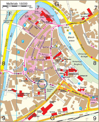
Backnang City Map
Street map of Backnang city center
484 miles away
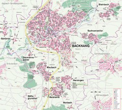
Backnang Region Map
Street map of Backnang and surrounding area
484 miles away
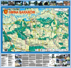
Baranow count wall map, PL Map
Baranow commune in Pulawy county, PL 3D big size wall map, surrounded by photos from Baranow area...
484 miles away
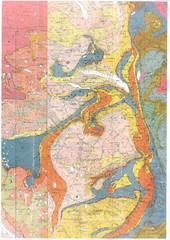
Oppdal Geologic Map
Map of geology around Oppdal, Norway
485 miles away
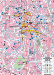
Ghent Walking Tour Map
Tourist and walking tour map of Ghent, Belgium. Shows points of interest.
485 miles away
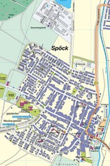
Spoeck Map
Street map of town of Spoeck
485 miles away
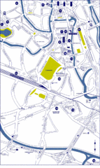
Ghent City Map
City map of Ghent with attractiosn
486 miles away
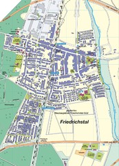
Friedrichstal Map
Street map of town of Friedrichstal
486 miles away
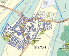
Staffort Map
Street map of town of Staffort
487 miles away
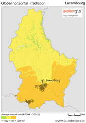
Solar Radiation Map of Luxembourg
Solar Radiation Map Based on high resolution Solar Radiation Database: SolarGIS. On the Solar Map...
487 miles away
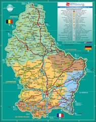
Luxembourg Tourism Map
Tourist Map of Luxembourg showing major roads, railways, and tourist attractions.
487 miles away
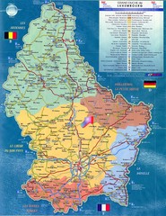
Luxembourg Tourist Map
Tourist map of the country of Luxembourg. Shows points of interest and activity icons. In French...
487 miles away
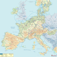
European Railway Map
487 miles away
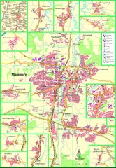
Mainburg Map
Street map of Mainburg city and surrounding region
488 miles away
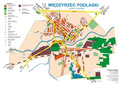
Miedzyrzec Podlaski Location Map (polish)
488 miles away

