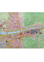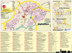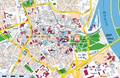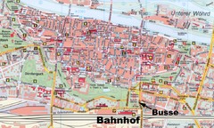
Regensburg Tourist Map
Tourist map of Regensburg city center
461 miles away
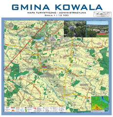
Kowala Commune - near Radom, PL Map
Kowala-Stepocina Commune - the administrative and touristic wall map, scala 1:12500, with 3D effect...
461 miles away
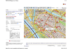
Mannheim Map
461 miles away
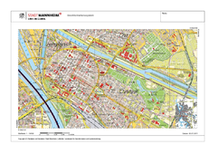
Mannheim Map
461 miles away
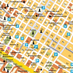
Central Mannheim Mp Map
Street map of Central Mannheim
461 miles away
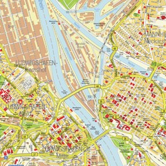
Ludwigshafen City Map
Street map of Ludwigshafen city center
462 miles away
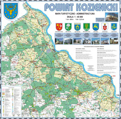
Kozienice_County_wall_map Map
Kozienice County big size wall map Covers all 7 communes: Kozienice, Garbatka-Letnisko, Grabow nad...
462 miles away
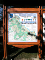
Kozienice_County_Poland_Streetmap.jpg Map
Street Map of Kozienice_County_Poland_Streetmap.jpg is added here because of the interesting wooden...
464 miles away
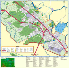
Kocienice_City_Plan-POLAND Map
Plan of City of Kozienice, PL
464 miles away
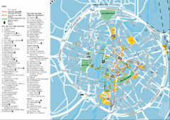
Leuven Tourist Map
Tourist map of Leuven, Belgium. Shows 'City of a Thousand Riches' tourist route. In...
464 miles away
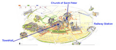
Leuvan City Map
Pictorial City Map of Leuven with information and attractions
464 miles away
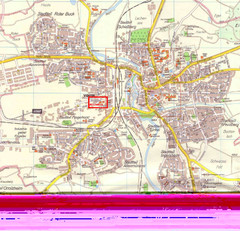
Crailsheim Map
Street map of Crailsheim region
465 miles away
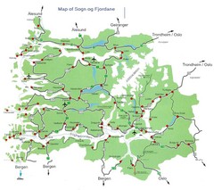
Sogn og Fjordane Region Map
Map of the Sognefjorden, Norway region
465 miles away
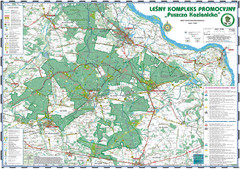
PuszczaKozienicka tourist map
LKP - Lesny Kompleks Promocyjny - PuszczaKozienicka - tourist map Ed. 2010 Projection: UTM/WGS84...
466 miles away
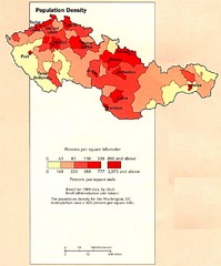
Czechoslovakia Population Density Map
Map of Czechoslovakia's population density
466 miles away
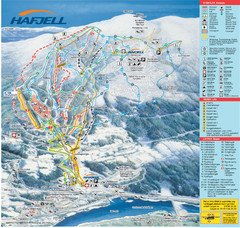
Hafjell Ski Trail Map
Trail map from Hafjell.
466 miles away
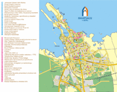
Haapsalu Tourist Map
Tourist street map of Haapsalu
467 miles away

Drohiczyn Podlaskie Kayak Map
Kayak trips on the bug river highlighted on the map of Drohiczyn, Podlaskie, Poland.
468 miles away

Bad Durkheim Tourist Map
Tourist map of Bad Durkhiem
468 miles away
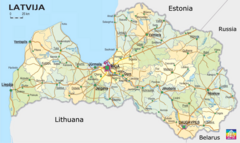
Latvia Map
Map of Latvia showing cities and major roads.
469 miles away
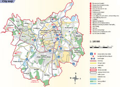
Ostrava Tourist Map
Tourist map of Ostrava, Czech Republic. Shows points of interest.
469 miles away
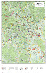
Krašić Bike Trail Map
Bike routes of the Krašić-Vivodina region.
469 miles away
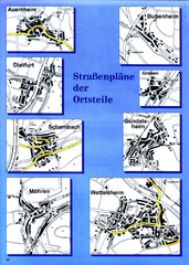
Treuchtlingen Districts Map
Street map of districts within the Treuchtlingen region
470 miles away
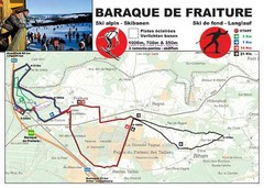
Baraque de Fraiture and Nordic Ski Trail Map
Trail map from Baraque de Fraiture.
471 miles away
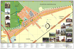
Garbatka_Letnisko_Poland.jpg Map
Map of Garbatka_Letnisko_Poland.jpg is a "city-village" plan. I do love to enter photos...
471 miles away
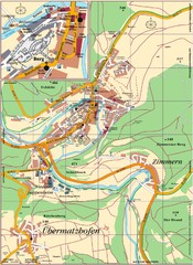
Pappenheim Map
Street map of Pappenheim
471 miles away
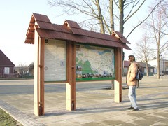
Sieciechow commune street map, PL Map
Sieciechow commune - street map Ed. 2007 Size 2000 x 1000 mm Type: administratie and touristic map
472 miles away
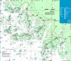
Turku Archipelago Tourist Map
Tourist map of the Turku Archipelago in Finland. In Finnish.
472 miles away
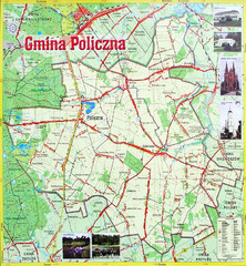
Policzna Commune Street Map
POLICZNA Commune, street map Ed. 2008 Size 2000 x 1250 mm Waterproof print-out verified for...
472 miles away
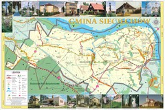
Sieciechow, Poland, Mazovia Map
Sieciechow commune map, Mazovia, PL
472 miles away
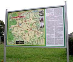
Policzna_Zwolen_Poland.jpg Map
Map of Policzna_Zwolen_Poland.jpg is another "all-proof" street map. 5 years on site...
473 miles away
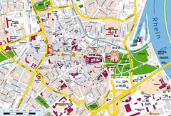
Speyer City Map
City map of central Speyer, Germany
473 miles away

Heilbronn Tourist Map
Tourist map of Heilbronn
474 miles away
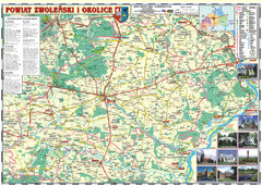
Zwolen_county_folded_map_POLAND Map
Zwolen county, paper folded map Scale 1: 70 000 Projection UTM/WGS84, GPS compatibile verified...
476 miles away
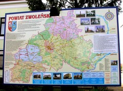
Zwolen county street map
Zwolen county - street map Big size 200 x 300 cm waterproof map
476 miles away
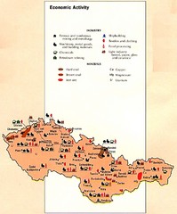
Czechoslovakia Economic Activity Map
Map of economic activity throughout region
476 miles away
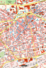
Kaiserslautern Center Map
Street map of Kaiserslautern city center
476 miles away

