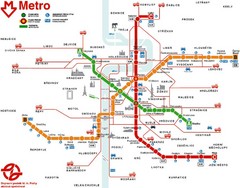
Prague Metro Map
394 miles away
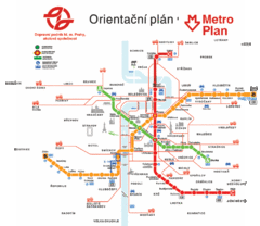
Prague Metro Map
394 miles away
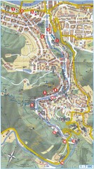
Transportation near Prague Map
Locations and destinations of transportation in and near Prague
394 miles away
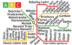
Prague Metro Map 2008 (for small displays)
Small version of Prague metro map of mobile phones, etc.
394 miles away
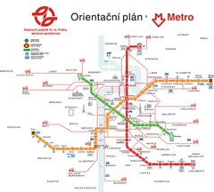
Prague Public Transport Map
Public transportation in Prague
394 miles away
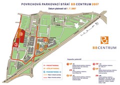
BB Centrum Map (Czech)
BB Centrum is one of the largest and most successful developments in the Czech Republic. This new...
394 miles away
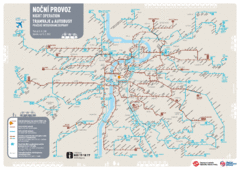
Tram Night Operation Map
394 miles away
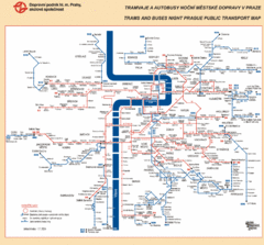
Prague Night Public Bus Tram Map
394 miles away
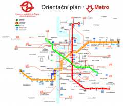
Prague Metro and Strret Car Map
Overview of Prague's metro and bus lines. Date unknown.
394 miles away
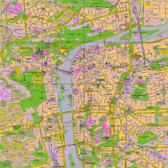
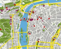
Prague Tourist Map
Tourist map of Prague, Czech Republic.
394 miles away
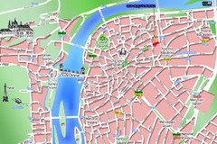
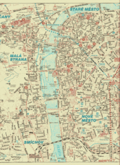
Old Prague Tourist Map
Simplified tourist map of old Prague, Czech Republic. Shows major landmarks, metro stations, and...
394 miles away
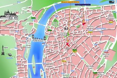
Prague Old Town Map
Tourist map of Old Town Prague, Czech Republic
394 miles away
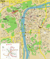
Prague (Praha) Tourist Map
Guide to major streets, points of interest and Metro
394 miles away
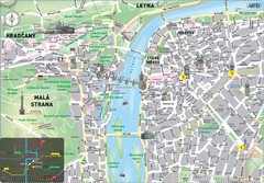
Prague Historical Center Map
Tourist map of the historical center of Prague, Czech Republic. Shows points of interest.
394 miles away
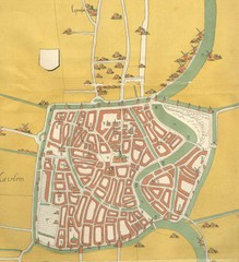
Haarlem City Map
Haarlem city center map from 1550
395 miles away
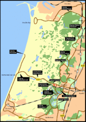
Nationaal Park Zuid-Kennemerland Map
Park overview map of Zuid-Kennemerland National Park (NPZK), Netherlands
395 miles away
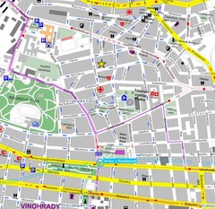
Praha Tourist Map
395 miles away
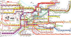
Prague Metro Map
Guide to Prague public transportation
395 miles away
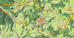
Bad Marienberg Biking Route Map
Map of biking route around Bad Marienberg region
397 miles away

Butzbach Tourist Map
Tourist map of city of Butzbach
397 miles away
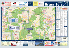
Braunfels Tourist Map
Tourist map of Braunfels and surrounding area
397 miles away
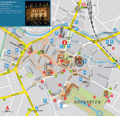
Bayreuth Tourist Map
Tourist map of Bayreuth town center
399 miles away
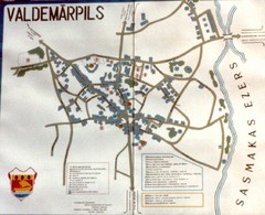
Valdemarpils Tourist Map
Tourist map of town of Valdemarpils, Latvia. From photo taken in town square, 1989
399 miles away
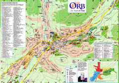
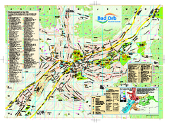
Bad Orb Map
400 miles away

Zeil am Main Tourist Map
Tourist street map of Zeil am Main and surrounding region
401 miles away
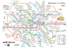
Köln, Nahverkehr Map
401 miles away
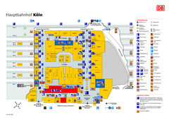
Köln HBf Map
401 miles away
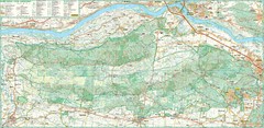
Kampinoski National Park Map
Kampinoski National Park
401 miles away
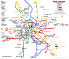
Köln metro Map
401 miles away
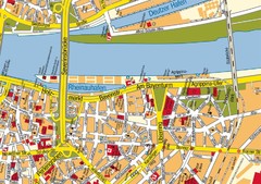
Cologne Center Map
Street map of city center of Cologne
402 miles away
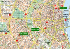
Cologne Map
Street map of Cologne, Germany. In German.
402 miles away
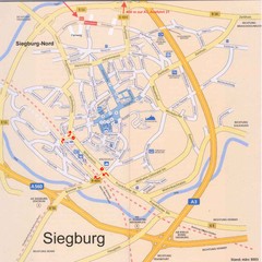
Siegburg Map
Street map of town of Siegburg
404 miles away
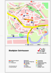
Gelnhausen Center Map
Tourist map of Gelnhausen center
404 miles away
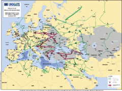
Proposed European Crude Oil Pipelines Map
Shows pan-European proposed priority axes for crude oil pipelines
404 miles away

