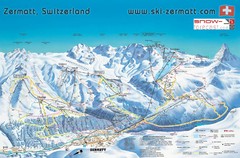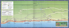
Brenzone Map
78 miles away
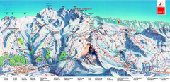
Piste Map of Zermatt with Cervinia
Combined piste map of Zermatt and Cervinia resorts. Shows both sides of the huge ski destination.
78 miles away
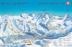
Zermatt Switzerland ski map
Zermatt Switzerland ski map
79 miles away
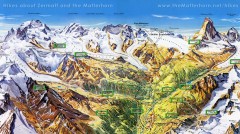
Zermatt Switzerland summer map
Summer hiking map of Zermatt
79 miles away
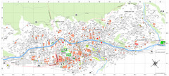
Zermatt Tourist Map
Guide to Zermatt, Switzerland
79 miles away
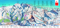
Matterhorn Ski Paradise Ski Trail Map
Trail map from Matterhorn ski paradise.
80 miles away
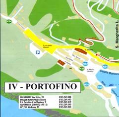
Portofino Map
80 miles away

Mantova Map
81 miles away
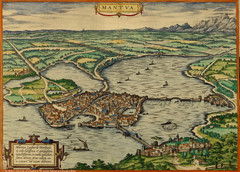
Mantua City Map 1575
Panoramic view of Mantua (Mantova), Italy from Braun and Hogenberg Civitates Orbis Terrarum Volume...
81 miles away
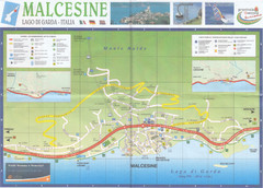
Malcesine Map
81 miles away
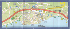
Malcesine Map
81 miles away
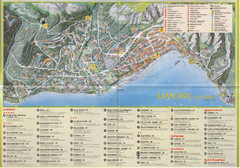
Limone sul garda Map
81 miles away
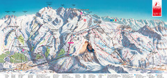
Zermatt Matterhorn Map
82 miles away
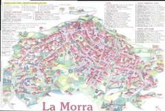
La Morra Map
84 miles away
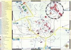
Bra Map
84 miles away
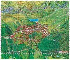
Bettmeralp Summer Map
Summer tourist map of town of Bettmeralp, Switzerland. With reference grid.
84 miles away
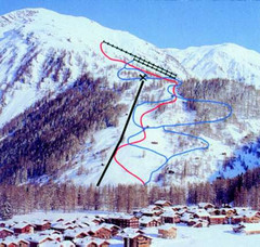
Hungerberg Ski Trail Map
Trail map from Hungerberg, which provides downhill skiing. It has 3 lifts. This ski area has its...
84 miles away
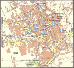
Bra Map
84 miles away
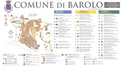
Barolo Map
85 miles away
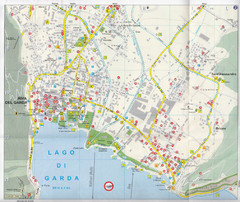
Riva del Garda Map
85 miles away

Andermatt (Hospental) Ski Trail Map
Trail map from Andermatt (Hospental).
85 miles away
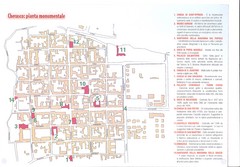
Cherasco Map
86 miles away
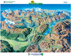
Valdidentro Alta Valtellina Summer Map
Panorama tourist map of the region of Valdidentro Alta Valtellina from Bormio, Italy to Livigno...
87 miles away
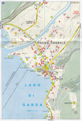
Nago-Torbole Map
87 miles away
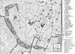
Verona Tourist Map
Tourist city map of Verona
88 miles away
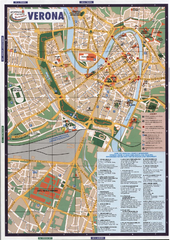
Verona Tourist Map
Tourist map of Verona, Italy. Shows points of interest.
88 miles away
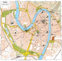
Verona Italy Tourist Map
Tourist map of Verona, Italy showing tourist sites, roads and parks.
88 miles away
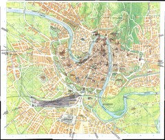
Verona Map
88 miles away
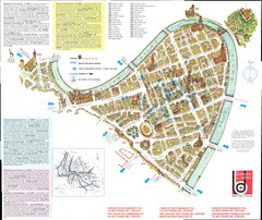
Verona centro Map
88 miles away
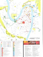
Verona centro Map
88 miles away
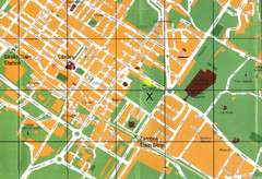
Sesto Map
89 miles away
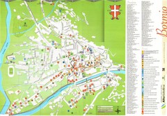
Bormio Tourist Map
Tourist map of town of Bormio, Italy. Legend of all streets and services.
90 miles away
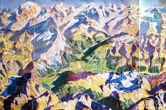
Bormio Panorama Map
Panorama tourist map of Bormio, Italy. Shows Ortler Alps in distance. From photo.
90 miles away
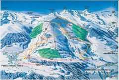
Brigels Ski Trail Map
Trail map from Brigels.
90 miles away
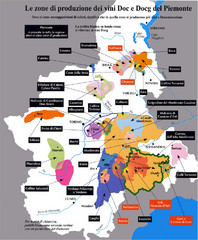
Piedmont Region Wine Map
Wine map of the Piedmont region in Italy. Shows production zones.
90 miles away
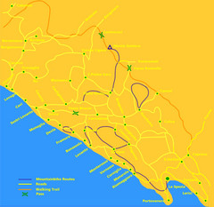
Cinque Terre Mountain Biking Trail Map
Mountain biking trail map of routes near Levanto and the Cinque Terre, Italy. Shows trails, roads...
91 miles away
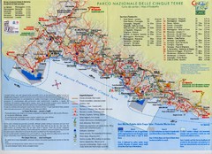
Cingue Terre-map Map
92 miles away
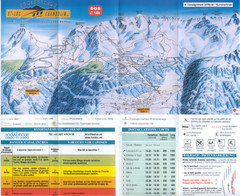
Val d’Anniviers (Grimentz, Zinal, Vercorin, St...
Trail map from Val d’Anniviers (Grimentz, Zinal, Vercorin, St-Luc und Chandolin), which provides...
92 miles away
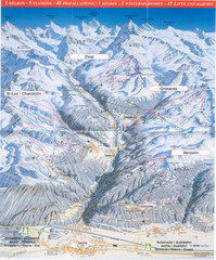
Val d’Anniviers (Grimentz, Zinal, Vercorin, St...
Trail map from Val d’Anniviers (Grimentz, Zinal, Vercorin, St-Luc und Chandolin), which provides...
92 miles away

