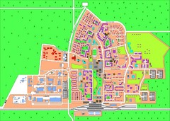
Slavutich Town Map
Town map of Slavutich, Ukraine. "The town of Slavutich is the youngest town in former Soviet...
1580 miles away

Dnipropetrovs'k Metro Map (Russian)
Metro map of Dnipropetrovs'k. Schematic, not tied to geography. In Russian.
1582 miles away
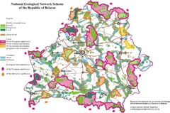
Belarus National Ecological Network Map
Ecological Network map of country of Belarus. Show protected lands, cores of significance, and...
1582 miles away
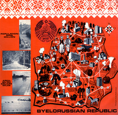
Belarussian Republic BSSR 1971 Map
Map shows points of industry and some country info from the Belarussian Republic in 1971
1582 miles away
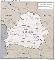
Belarus Defense Facilities Map
Map of major defense industry facilities throughout Belarus
1582 miles away
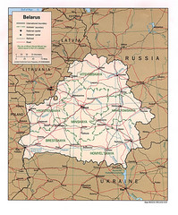
Belarus Political Map
1582 miles away
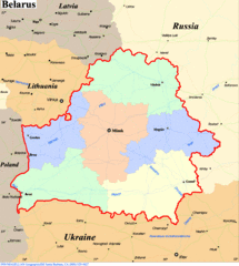
Belarus Map
1582 miles away
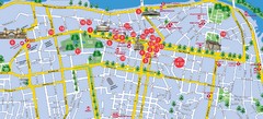
Dnepropetrovsk Downtown Map
Map of central Dnepropetrovsk, Ukraine's third largest city
1583 miles away
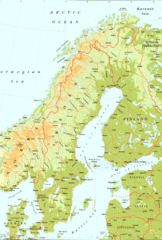
Sweden Physical Map
Map of Sweden and surrounding countries. Shows shaded relief
1585 miles away
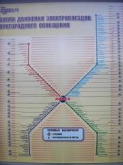
Minsk Suburban Train Map
Suburban trains map of Minsk, Belarus. Shows stations and stops. In Russian. From photo.
1587 miles away
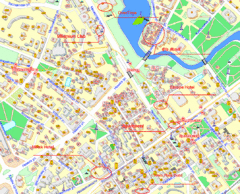
Minsk, Belarus Tourist Map
1588 miles away
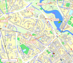
Tsentralny District, Minsk Tourist Map
Tourist map for Tsentralny district of Minsk.
1588 miles away
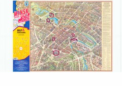
Minsk Central Map
Panoramic map of central Minsk, Belarus. Some spots are highlighted. Scanned.
1588 miles away
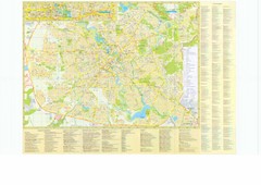
Minsk City Map
City map of Minsk, Belarus. Has street index and shows museums, galleries, theaters, hotels...
1588 miles away
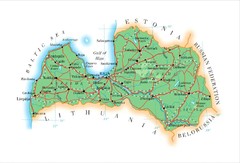
Latvia Map
1591 miles away
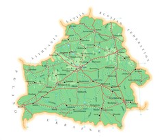
Belarus Map
1591 miles away
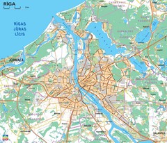
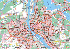
Greater Riga Map
Map of region around Riga, Latvia. Shows roads, towns, and neighborhoods.
1592 miles away
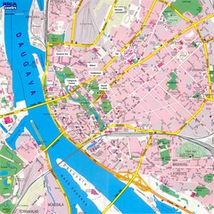
Riga City Map
City map of Riga with information
1592 miles away
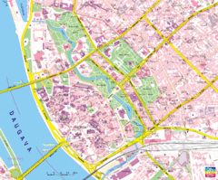
Riga Tourist Map
Tourist map of Riga, Latvia. Shows locations of museums, hotels, and other points of interest.
1592 miles away
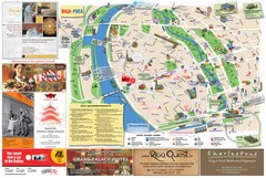
Riga and Jurmala Map
1592 miles away
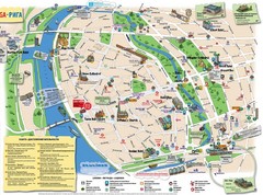
Riga Tourist Map
1592 miles away
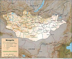
Mongolia Map
Map of Mongolia showing cities, provinces and mountains.
1594 miles away
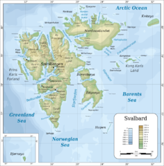
Svalbard islands topo Map
1601 miles away
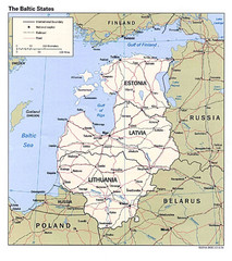
Baltic States Map
1601 miles away
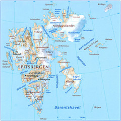
Svalbard Physical Map
Physical map of Svalbard, Norway. The northernmost part of the kingdom of Norway. Shows ice...
1601 miles away

Jurmala Map
1609 miles away
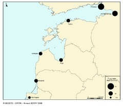
baltic ports in 2008 Map
1615 miles away
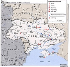
Ukraine Defense Facilities Map
Map of major defense industry facilities throughout Ukraine
1618 miles away
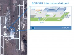
Boryspil International Airport Map
Terminal and Road map of Boryspil International Airport. Near Kyiv, Ukraine.
1626 miles away
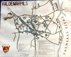
Valdemarpils Tourist Map
Tourist map of town of Valdemarpils, Latvia. From photo taken in town square, 1989
1628 miles away
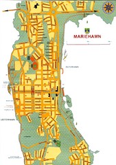
Mariehamn City Map
City Map of Mariehamn
1630 miles away
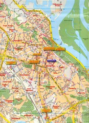
Kyiv Map
1631 miles away
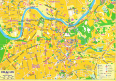
Vilnius Tourist Map
Tourist map of central Vilnius, Lithuania. Shows hotels, museums, and other points of interest.
1634 miles away
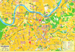
Vilnius Map Big
1634 miles away
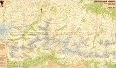
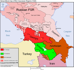
Central Caucasus Map
Overview map of the central Caucasus mountains from Mt. Elbrus east in Russia and Georgia. In...
1634 miles away
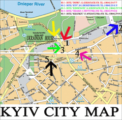
Kyiv City Map
City map of Kyiv with hotels
1635 miles away

