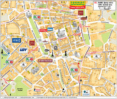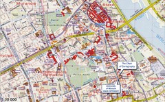
Warsaw Tourist Map
Tourist map of central Warsaw, Poland near University of Warsaw. Shows points of interest.
1875 miles away
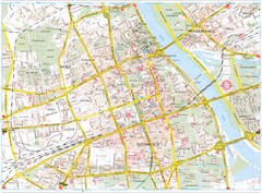
Warsaw Tourist Map
Tourist map of central Warsaw, Poland. Shows points of interest.
1875 miles away
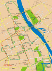
Central Warsaw Tourist Map
Warsaw, Poland Tourist Map showing roads, mass transit routes, and parks.
1875 miles away
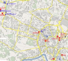
Warsaw, Poland Tourist Map
1876 miles away
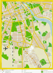
Warsaw, Poland Tourist Map
1876 miles away
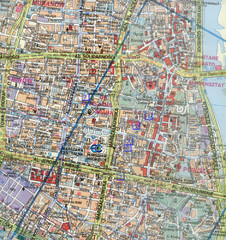
Warsaw, Poland Tourist Map
1876 miles away
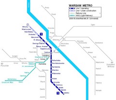
Warsaw Metro Map
1876 miles away
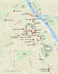
Warsaw Tourist Map
City map of Warsaw, Poland showing tourist sites, parks and major roads.
1876 miles away
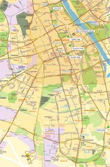
Warsaw University Map
Map of Warsaw University and surrounding area.
1876 miles away
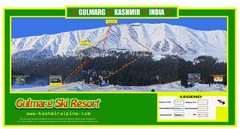
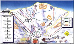
Gulmarg Trail Map
1879 miles away
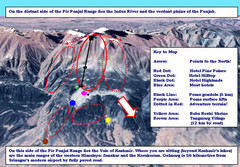
Gulmarg Ski Trail Map
Trail map from Gulmarg, which provides downhill skiing.
1880 miles away
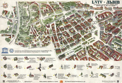
Lviv Tourist Map
Tourist map of historic district of central Lviv, Ukraine, added to the UNESCO World Heritage List...
1880 miles away
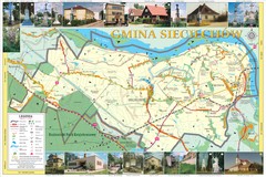
Sieciechow, Poland, Mazovia Map
Sieciechow commune map, Mazovia, PL
1881 miles away
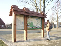
Sieciechow commune street map, PL Map
Sieciechow commune - street map Ed. 2007 Size 2000 x 1000 mm Type: administratie and touristic map
1881 miles away
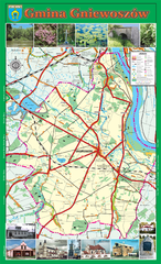
GNIEWOSZOW commune map, PL Map
Gniewoszow commune map Ed. 2007
1881 miles away
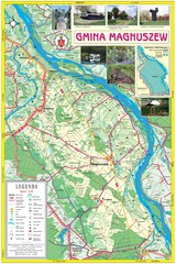
Magnuszew Commyne - Touristic map
Magnuszew commune - touristic, folded map.
1883 miles away
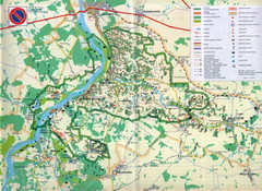
Kazimierski Landscape Park Map
Part of one of main ecological corridors in Europe enabling the birds to nest and migrate.
1883 miles away
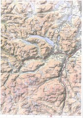
Oppdal Topo Map
Topo map of Oppdal, Norway region
1884 miles away
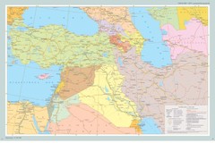
Map of Near East And South Caucasus
Map of Near East and South-Caucassian countries
1884 miles away
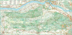
Kampinoski National Park Map
Kampinoski National Park
1884 miles away
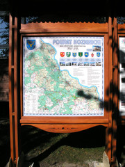
Kozienice_County_Poland_Streetmap.jpg Map
Street Map of Kozienice_County_Poland_Streetmap.jpg is added here because of the interesting wooden...
1885 miles away
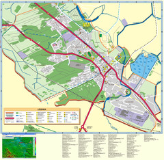
Kocienice_City_Plan-POLAND Map
Plan of City of Kozienice, PL
1885 miles away
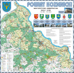
Kozienice_County_wall_map Map
Kozienice County big size wall map Covers all 7 communes: Kozienice, Garbatka-Letnisko, Grabow nad...
1886 miles away
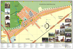
Garbatka_Letnisko_Poland.jpg Map
Map of Garbatka_Letnisko_Poland.jpg is a "city-village" plan. I do love to enter photos...
1887 miles away

Lviv. Southern outskirts of city (in Ukrainian...
Lviv. High detailed southern outskirts of city (in Ukrainian)
1887 miles away
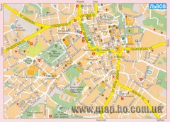
Street map of central Lviv, Ukraine. (Russian)
Street map of central Lviv, Ukraine. In Russian.
1887 miles away
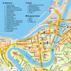
Jonkoping Tourist Map
Tourist map of city center
1887 miles away
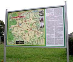
Policzna_Zwolen_Poland.jpg Map
Map of Policzna_Zwolen_Poland.jpg is another "all-proof" street map. 5 years on site...
1888 miles away
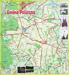
Policzna Commune Street Map
POLICZNA Commune, street map Ed. 2008 Size 2000 x 1250 mm Waterproof print-out verified for...
1888 miles away
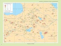
Armenian Highland Major Earthquakes Map
Map of the Major Earthquakes on the Armenian Highland
1888 miles away

Iranian Ski Resorts Map
Map of Dizin, Darbandshar and Shemshak resorts
1889 miles away
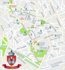
Iasi Tourist Map
Tourist map of central Iasi, Romania. Shows theaters, museums, and churches.
1889 miles away
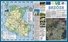
Brzoza_Glowaczow_Poland - 2000 x 1250.PNG Map
Map of Brzoza_Glowaczow_Poland - 2000 x 1250.PNG is special project dedicated to school in Brzoza...
1889 miles away
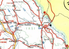
Iasi Map
1889 miles away

RadomkaRiver-kayaking Map
Radomka River - kayaking map Checked on field and verified map of Radomka River from Brzoza to...
1890 miles away
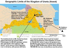
Urartu And Mount Ararat Map
Urartu Map showing Mt. Suleiman is not near Urartu.
1890 miles away
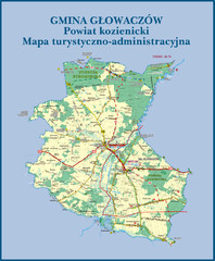
GLOWACZOW commune, PL Map
GLOWACZOW commune map, PL Ed. 2010 All data verified
1890 miles away
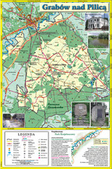
Grabow nad Pilica commune map
Grabow nad Pilica commune map Ed. 2006
1890 miles away

