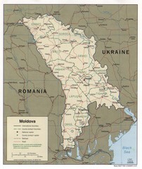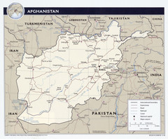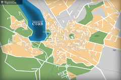
Ternopil_ukr Map
1841 miles away
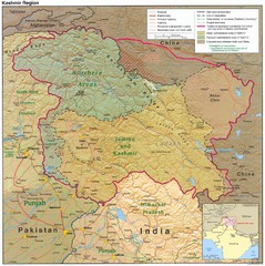
Kashmir Region Map
1841 miles away
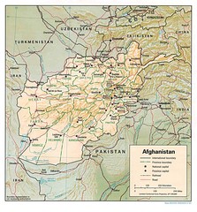
Afghanistan Map
Guide to Afghanistan and surrounds
1850 miles away
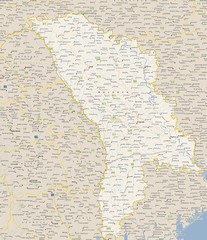
Moldova - Cities Map
1851 miles away
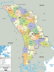
Moldova - Political Map
1851 miles away
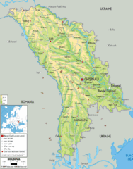
Moldova - Physical Map
1851 miles away
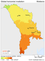
Solar Radiation Map of Moldova
Solar Radiation Map Based on high resolution Solar Radiation Database: SolarGIS. On the Solar Map...
1851 miles away
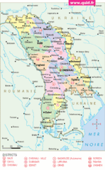
Moldavie Map
1851 miles away
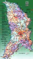
Moldova Tourist Map
Tourist map of Moldova. Shows major roads, rivers, monuments, fortresses, churches, and monastaries.
1851 miles away
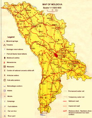
Moldova roads Map
1853 miles away
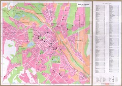
Chisinau City Map
Tourist map of capital city
1855 miles away
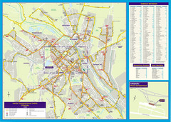
Chisinau Public Transportation Map
Public Transportation map of Chisinau, Moldova with street index. Shows bus routes. Inset of...
1855 miles away
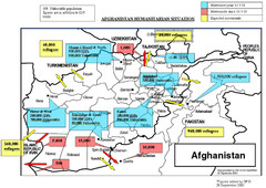
AFG Humanitarian Map
1855 miles away
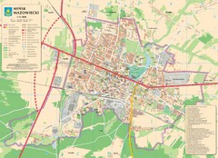
Minsk Tourist Map
Tourist map of Minsk, Poland. In Polish.
1859 miles away
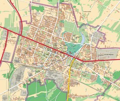
Mińsk Mazowiecki City Map
City map of Mińsk Mazowiecki, Poland
1859 miles away
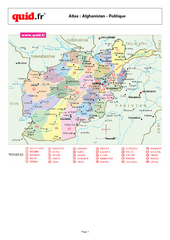
Afghanistan Provinces Map
Map of Afghanistan, with detail of province divisions
1860 miles away
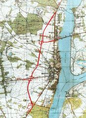
Serock Map
Town map of Serock, Poland. Not very much detail.
1861 miles away
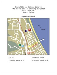
Eastern Sopot Map
1867 miles away
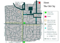
Herat Tourist Map
1867 miles away
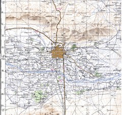
Herat Topo Map
original scale 1:200,000 Portion of Soviet General Staff map I-41-XV
1867 miles away
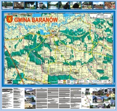
Baranow count wall map, PL Map
Baranow commune in Pulawy county, PL 3D big size wall map, surrounded by photos from Baranow area...
1867 miles away
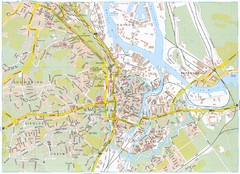
Gdansk Tourist Map
Tourist map of central Gdansk, Poland. Shows points of interest.
1868 miles away
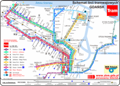
Gdansk Tram Route Map
Shows tram routes in Gdansk, Poland
1868 miles away
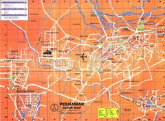
Peshawar City Map
City map of Peshawar, Pakistan. Scanned.
1871 miles away
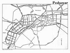
Peshawar Map
Guide to Peshawar, Pakistan
1871 miles away
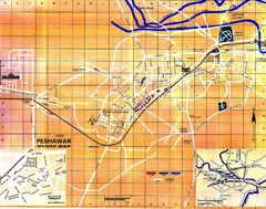
Peshawar City Map
City map of Peshawar, Pakistan
1871 miles away
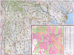
Moldova Topographical Map - South
Detailed topo map of southern Republic of Moldova. In Ukrainian. Inset shows detailed view of...
1871 miles away
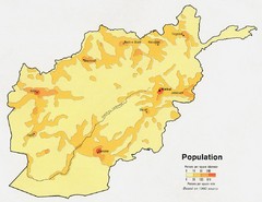
Afghanistan Population Map
1873 miles away
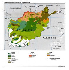
Afghanistan Entholinguistic Map
1873 miles away
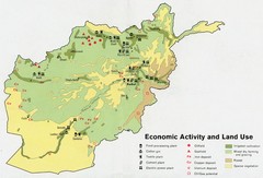
Afghanistan Economic and Land Use Tourist Map
1873 miles away
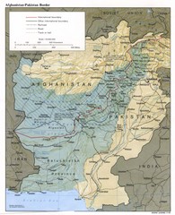
Afghanistan-Pakistan Border Map
1873 miles away
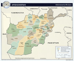
Afghanistan Tourist Map
1873 miles away
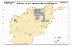
Afghanistan Shaded Relief Index Map
Index Map for the ASTER-Derived 30-Meter-Resolution Digital Elevation Models of Afghanistan.
1873 miles away
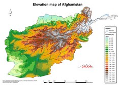
Afghanistan Elevation Map
Elevation map of Afghanistan
1873 miles away
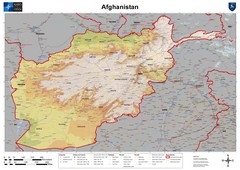
Afghanistan Map
Physical map of Afghanistan. Shows relief.
1873 miles away
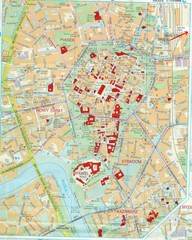
Staremiasto Map
Staremiasto City Map
1874 miles away
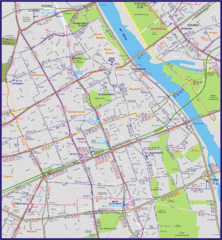
Warsaw City with Bus Routes Map
1875 miles away

