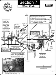
Anderson, IN & Mounds State Park Wabash River...
This is a page from the White River Guidebook. The map shows important information for boaters and...
167 miles away
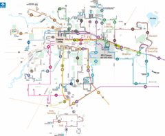
Lansing, Michigan Public Transportation Map
168 miles away

1859 Lansing Lower Town Bus District Map
169 miles away

1859 Lansing Middle Upper Bus District Map
169 miles away

Indianapolis Motor Speedway Map
169 miles away

Downtown Jackson Restaurant Map
Downtown Jackson restaurant map with many delicious locations!
169 miles away

Wildcat Den State Park Map
Map of trails and facilities at Wildcat Den State Park.
169 miles away
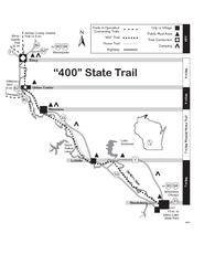
400 State Trail Map
Long and beautiful trail through Wisconsin's finest.
169 miles away
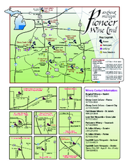
Pioneer Wine Trail Map
Tourist map of the Pioneer Wine Trail in Southeast Michigan. Shows wineries, vineyards, lodging and...
169 miles away
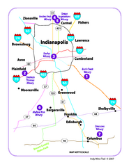
Indy Wine Trail Map
Map of the Indy Wine Trail of the Indianapolis area in Indiana. Shows wineries in the area.
169 miles away
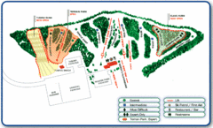
Nordic Mountain Ski Trail Map
Trail map from Nordic Mountain.
170 miles away
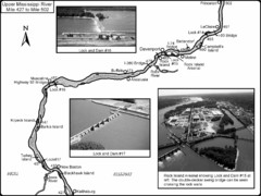
Upper Mississippi River Mile 427 to Mile 502 Map
Historical Map from book "Mississippi River-Historical Sites and Interesting Places
170 miles away
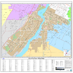
De Pere City Map
Official street map of city of De Pere, Wisconsin
171 miles away
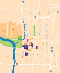
Indianapolis Center Map
Map of Indianapolis downtown center
171 miles away
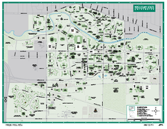
Michigan State University Map
Campus map of Michigan State University. All buildings shown.
172 miles away
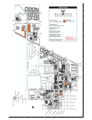
Ball State University Map
Ball State University Campus Map. All buildings shown.
172 miles away
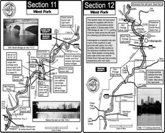
Indianapolis, IN White River West Fork Map
This is a page from the White River Guidebook. The map shows important information for boaters and...
172 miles away
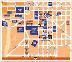
Downtown Indianapolis Map
173 miles away
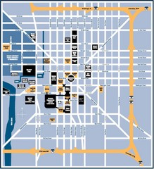
Indianapolis Tourist Map
173 miles away
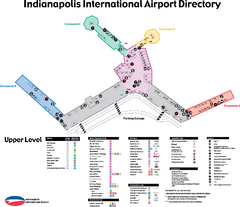
Indianapolis International Airport Terminal Map
Official map of Indianapolis International Airport. Shows all Upper Level Terminals.
173 miles away
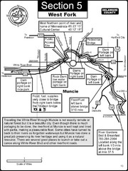
Muncie, IN White River West Fork Map
This is a page from the White River Guidebook. The map shows important information for boaters and...
173 miles away
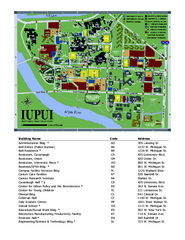
Indiana University Purdue University Indianapolis...
Campus Map of Indiana University Purdue University Indianapolis. All areas shown.
173 miles away
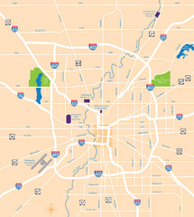
Indianapolis Map
Map of Indianapolis are
173 miles away
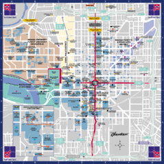
Downtown Indianapolis Map
This large map of downtown Indianapolis.
173 miles away
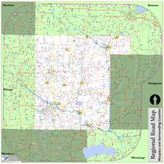
Regional Road Map of Waupaca County, Wisconsin
174 miles away
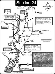
Terre Haute, IN Wabash River Map
This is a page from the Wabash River Guidebook. The map shows important information for boaters and...
174 miles away
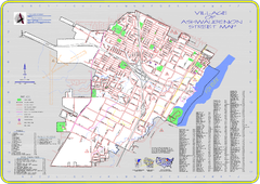
Ashwaubenon Street Map
174 miles away
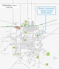
Charleston Town Map
174 miles away
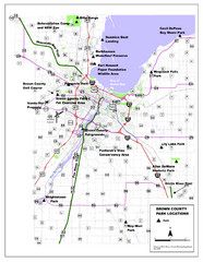
Brown County Parks Map
Shows locations of all parks in Brown County, Wisconsin
175 miles away
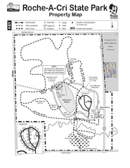
Roche A Cri State Park Map
Marked hiking trails for this State Park easily read on this map.
177 miles away

New Wine Township Iowa Atlas Map
Atlas road map of New Wine, Iowa. Year unknown. Scanned.
178 miles away
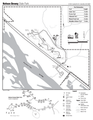
Nelson Dewey State Park Map
Easy trails for you to walk on your vacation.
178 miles away
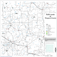
Public Lands of Waupaca County Map
179 miles away
Buckhorn State Park Map
Hiking trails and fun locations marked on this map.
179 miles away
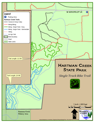
Hartman Creek State Park - Single Track Bike...
179 miles away
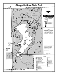
Sleepy Hollow State Park, Michigan Site Map
179 miles away
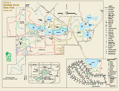
Hartman Creek State Park map
Detailed recreation map for Hartman Creek State Park in Wisconsin
179 miles away

