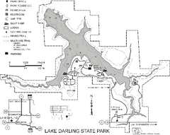
Lake Darling State Park Map
Map of hiking, biking and skiing trails, lake depths and park facilities for Lake Darling State...
225 miles away
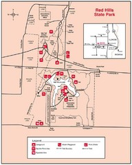
Red Hills, Illinois State Park Site Map
225 miles away
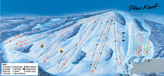
Pine Knob Ski Resort Ski Trail Map
Trail map from Pine Knob Ski Resort.
226 miles away
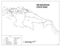
Rib Mountain State Park Map
Simple state park map with nice hiking trails.
227 miles away

Granite Peak Ski Trail Map
Trail map from Granite Peak.
227 miles away
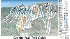
Granite Peak Ski Trail Map
Official ski trail map of Granite Peak ski area from the 2004-2005 season.
227 miles away
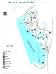
West Boggs Park Map
227 miles away
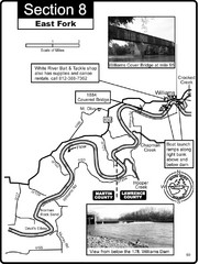
Williams, IN White River East Fork Map
This is a page from the White River Guidebook. The map shows important information for boaters and...
227 miles away

Newport State Park Map
Bicycling, hiking, park office, parking all marked on this detailed map.
228 miles away

Shimek State Forest Hiking Trail Map
Map of hiking trails in Shimek State Forest.
228 miles away
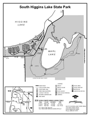
South Higgins Lake State Park, Michigan Site Map
228 miles away

Mission Penninsula, Grand Traverse Bay, MI Map
228 miles away

Shimek State Forest Horse Trail Map
Map of Horse Trail Sytem within Shimek State Forest.
229 miles away

Vicennes and Knox County Indiana Visitor Map
Street map of Vicennes with maps of the entire state and county as well.
229 miles away
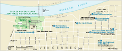
George Rogers Clark National Historical Park...
Official NPS map of George Rogers Clark National Historical Park in Indiana. Map shows all areas...
229 miles away
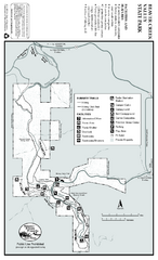
Beaver Creek Valley State Park Map
Map of park with detail of trails and recreation zones
229 miles away

University of Michigan Map
229 miles away
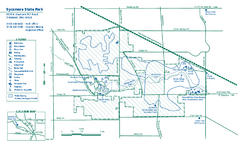
Sycamore State Park map
Detailed recreation map for Sycamore State Park in Ohio.
230 miles away
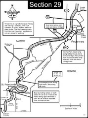
Vincennes, IN/ St. Francisville, IL Wabash River...
This is a page from the Wabash River Guidebook. The map shows important information for boaters and...
231 miles away
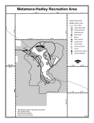
Metamora-Hadley State Park, Michigan Site Map
231 miles away
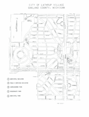
Lathrup Village Street Map
231 miles away

Bruce Mound Ski Area Ski Trail Map
Trail map from Bruce Mound Ski Area.
231 miles away

Peninsula Township Roads Map
Map of main roads in Peninsula Township
231 miles away

Leland MI Map
231 miles away
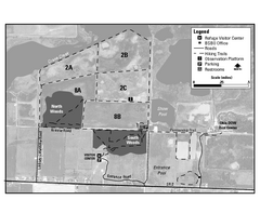
Ottawa National Wildlife refugee Map
232 miles away
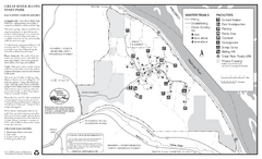
Great River Bluffs State Park Winter Map
Winter season map of park with detail of trails and recreation zones
232 miles away

North Manitou Island Map
232 miles away
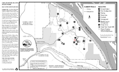
Great River Bluffs State Park Summer Map
Summer season map of park with detail of trails and recreation zones
232 miles away
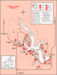
Stephen A. Forbes State Park, Illinois Site Map
233 miles away

Mt. Crescent Ski Area Ski Trail Map
Trail map from Mt. Crescent Ski Area.
235 miles away
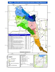
Ohio EPA Subwatersheds Boundaries in Darby...
Map shows watersheds by colors for West Central Ohio
236 miles away
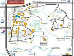
Oakland University Map
Oakland University Campus Map. All buildings shown.
236 miles away
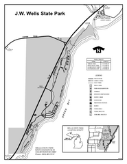
Wells State Park, Michigan Site Map
237 miles away
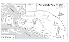
Perrot State Park Map
Have a wonderful vacation hiking through this natural setting.
237 miles away
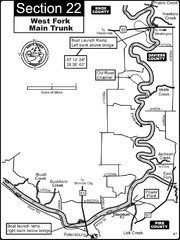
Petersburg, IN White River West Fork Map
This is a page from the White River Guidebook. The map shows important information for boaters and...
238 miles away

Dayton, Ohio City Map
238 miles away

Mad River Mountain Trail Map
Ski trail map
238 miles away

Wayne State University Map
238 miles away
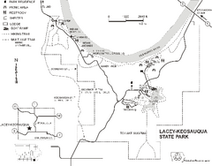
Lacey-Keosauqua State Park Map
Map of trails, indian mounds, lake depths and park facilities for Lacey-Keosauqua State Park.
238 miles away
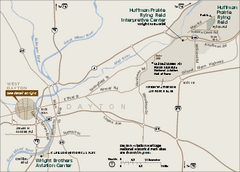
Dayton Aviation Heritage National Historical Park...
Official NPS map of Dayton Aviation Heritage National Historical Park in Ohio. Dayton Aviation...
238 miles away

