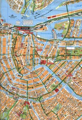
Amsterdam Center Map
109 miles away
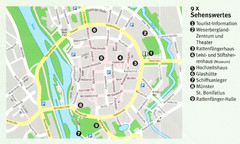
Hameln Map
109 miles away
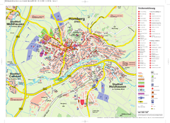
Homberg (Efze) Tourist Map
Tourist street map of Homberg
109 miles away
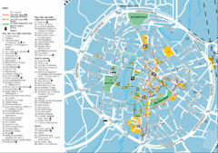
Leuven Tourist Map
Tourist map of Leuven, Belgium. Shows 'City of a Thousand Riches' tourist route. In...
110 miles away
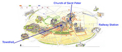
Leuvan City Map
Pictorial City Map of Leuven with information and attractions
110 miles away
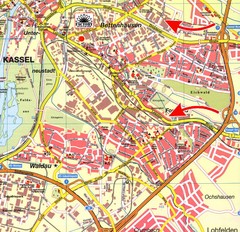
Bettenhausen Map
Map of Bettenhausen
110 miles away
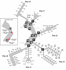
Amsterdam Airport Schipol Map
111 miles away
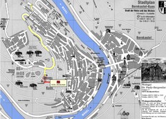
Bernkastel City Map
City map of Bernkastel-Kues with hotels and attractions
111 miles away
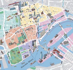
Rotterdam Tourist Map
Tourist map of Rotterdam, Netherlands. Largest port in Europe.
112 miles away
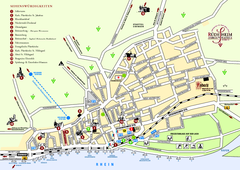
Rüdesheim Tourist Map
Tourist street map of Rüdesheim
113 miles away
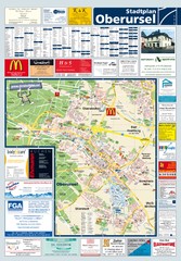
Oberursel Tourist Map
Tourist map of Oberursel and surrounding region
113 miles away
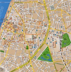
Antwerp Tourist Map
Tourist map of central Antwerp, Belgium. Scanned.
115 miles away
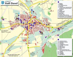
Dassel Tourist Map
Tourist street map of Dassel
116 miles away
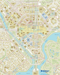
Wallensen Downtown Map
Wallensen City Downtown Map.
117 miles away
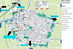
Leiden Tourist Map
Tourist map of downtown Leiden, The Netherlands. Shows some hotels and other points of interest.
117 miles away
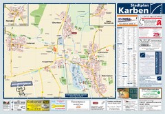
Karben Tourist Map
Tourist map of Karben and surrounding region
117 miles away
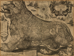
Jodocus Hondius’ Map of Belgium as a Lion...
Jodocus Hondius’ Map depicting Belgium as a Lion.
118 miles away
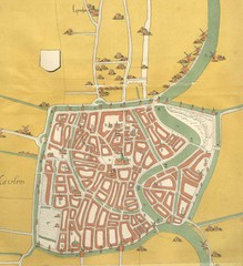
Haarlem City Map
Haarlem city center map from 1550
118 miles away
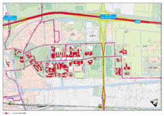
Delft University of Technology Campus Map
118 miles away
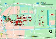
Delft University of Technology Map
119 miles away
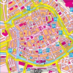
Groningen City Map
City map of central Groningen, The Netherlands. Some hotels highlighted.
119 miles away
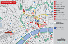
Frankfurt Tourist Map
Tourist map of central Frankfurt, Germany. Shows points of interest. In English and German.
121 miles away
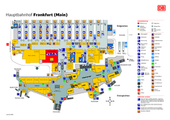
Frankfurt HBf Map
121 miles away
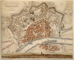
Frankfurt City Map 1840
121 miles away
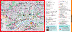
Frankfurt City Map
121 miles away
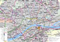
Frankfurt Public Transportation Map
Public transportation map of central Frankfurt, Germany. Shows bus and train routes.
121 miles away
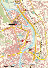
Frankfurt Tourist Map
121 miles away
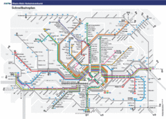
Frankfurt Subway Map (German)
121 miles away
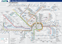
Frankfurt Nahverkehr Map
121 miles away
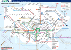
Frankfurt Nahverkehr Map
121 miles away
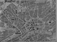
Frankfurt City Map
City map of Frankfurt
121 miles away
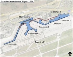
Frankfurt Airport Map
122 miles away

Frankfurt Airport Fern Bf Map
122 miles away

Frankfurt Airport Map
122 miles away
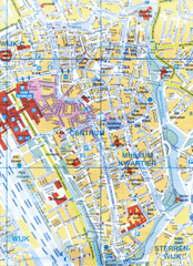
Utrecht, Netherlands Tourist Map
122 miles away
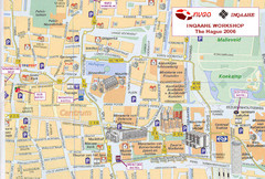
Den Haag, Netherlands Tourist Map
122 miles away
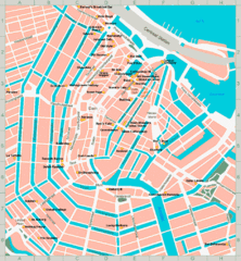
Den Haag, Netherlands Tourist Map
122 miles away
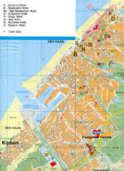
The Hague Hotel Map
Hotel map of The Hague, Netherlands. Shows tram stops. Congress centre highlighted.
122 miles away
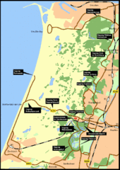
Nationaal Park Zuid-Kennemerland Map
Park overview map of Zuid-Kennemerland National Park (NPZK), Netherlands
122 miles away

