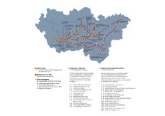
Ruhrgebiet Industriekultur Map
0 miles away
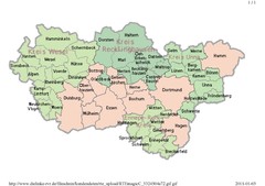
Ruhr RVR Map
0 miles away
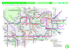
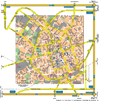
Ruhr VRR Schnellverkehr Map
less than 1 mile away
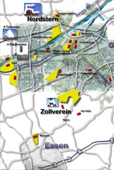
Essen-Nord Map
less than 1 mile away
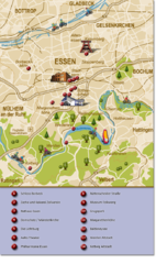
Essen Region Tourist Map
Tourist map of region of Essen
4 miles away
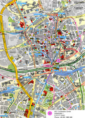
Essen Street Map
Street map of central Essen, Germany
4 miles away
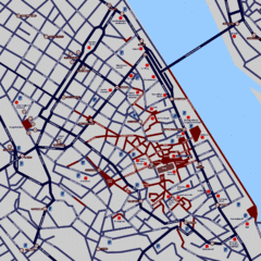
Heisingen Map
Detailed map of the city including parking, streets, and hotels.
8 miles away
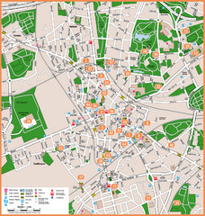
Bochum Tourist Map
Tourist map of central Bochum, Germany. Shows points of interest; numbers correspond to more info...
9 miles away
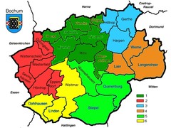
Bochum Stadtteile Map
9 miles away
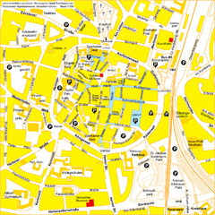
Recklinghausen Map
Street map of city
10 miles away
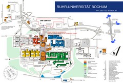
Ruhr-Universitat Campus Map
11 miles away
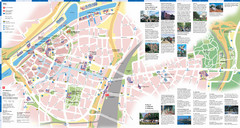
Duisburg Tourist Map
Tourist map of central Duisburg, Germany. Shows points of interest.
12 miles away
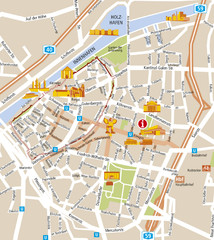
Duisburg City Map
Street map of Duisburg center
12 miles away
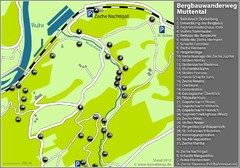
Muttental Bergbauwanderweg Map
12 miles away
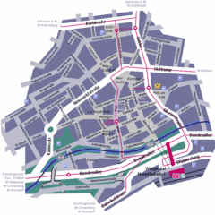
Wuppertal Elberfeld Street Map
Street map of Elberfeld in Wuppertal, Germany. In German.
18 miles away
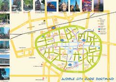
Dortmund Tourist Map
Tourist map of central Dortmund, Germany. Shows photos of points of interest along a walking audio...
19 miles away
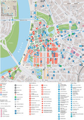
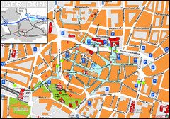
Dusseldorf Tourist Map
Tourist map of central Düsseldorf, Germany. Shows points of interest.
22 miles away
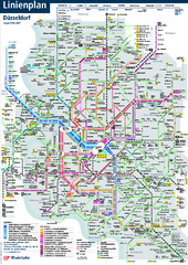
Dusseldorf Public Transport Network Map
Official Rheinbahn map shows municipal-rail, light rail and tramway system, as well as a close-knit...
22 miles away
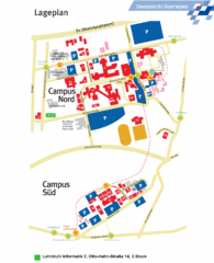
Universitat Dortumund Campus Map
26 miles away
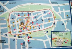
Xanten Tourist Map
Xanten center tourist map
26 miles away
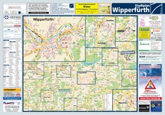
Wipperfuerth Tourist Map
Tourist map of Wipperfuerth and surrounding region
32 miles away
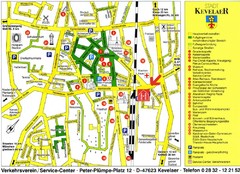
Kevelear Tourist Map
Tourist map of Kevelear
33 miles away
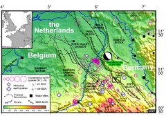
Earthquake in Lower Rhine Map
Seismotectonic map of the Lower Rhine graben system in the border area of Belgium, Germany and the...
35 miles away
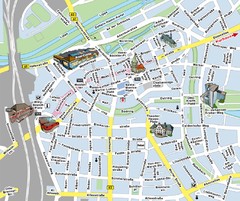
Hamm Center Tourist Map
Tourist street map of Hamm center
36 miles away
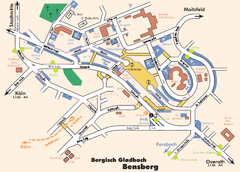
Bergisch Gladbach Tourist Map
Tourist map of Bergisch Gladbach
36 miles away
Bergisch Gladbach Map
City street map of Bergisch Gladbach
36 miles away
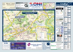
Lindlar Tourist Map
Tourist map of Lindlar and surrounding region
37 miles away
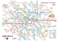
Köln, Nahverkehr Map
39 miles away
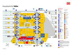
Köln HBf Map
39 miles away
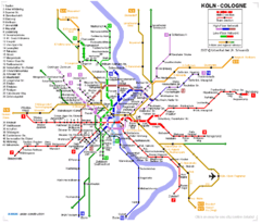
Köln metro Map
40 miles away
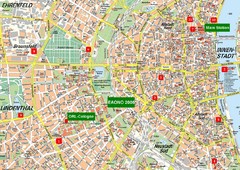
Cologne Map
Street map of Cologne, Germany. In German.
40 miles away

