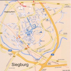
Siegburg Map
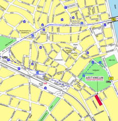
Street map of town of Siegburg
48 miles away
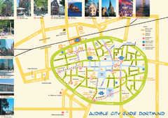
Dortmund Tourist Map
Tourist map of central Dortmund, Germany. Shows photos of points of interest along a walking audio...
50 miles away
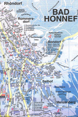
Bad Honnef Map
Street map of Bad Honney
56 miles away
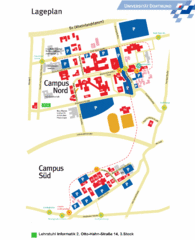
Universitat Dortumund Campus Map
57 miles away
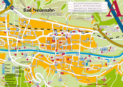
Bad Neuenahr-Ahrweiler Tourist Map
Tourist map of Bad Neuenahr-Ahrweiler
59 miles away
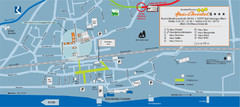
Bad Hönningen Tourist Map
Tourist map of Bad Honningen town center
65 miles away
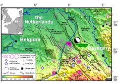
Earthquake in Lower Rhine Map
Seismotectonic map of the Lower Rhine graben system in the border area of Belgium, Germany and the...
68 miles away
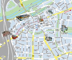
Hamm Center Tourist Map
Tourist street map of Hamm center
68 miles away
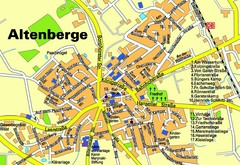
Altenberge Tourist Map
Tourist map of Altenberge
72 miles away
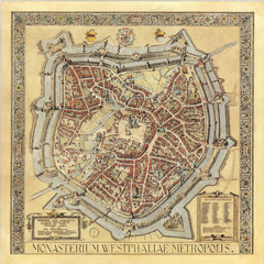
Münster City Map 1636
72 miles away
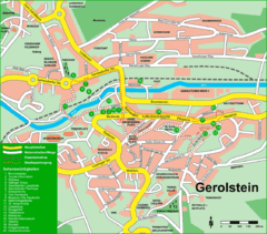
Gerolstein Map
Street map of Gerolstein
72 miles away
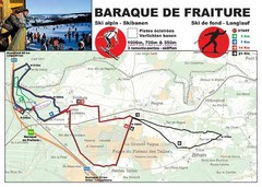
Baraque de Fraiture and Nordic Ski Trail Map
Trail map from Baraque de Fraiture.
75 miles away
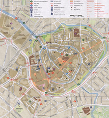
Amersfoort Map
76 miles away
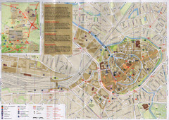
Amersfoort Map
76 miles away
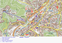
Siegen Street Map
Street map of part of Siegen, Germany. With annotations in English.
76 miles away
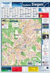
Siegen Tourist Map
Tourist map of Siegen and surrounding region
76 miles away
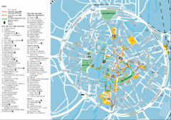
Leuven Tourist Map
Tourist map of Leuven, Belgium. Shows 'City of a Thousand Riches' tourist route. In...
78 miles away
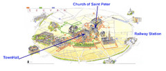
Leuvan City Map
Pictorial City Map of Leuven with information and attractions
78 miles away
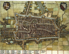
Historic map of Utrecht in 1652
79 miles away
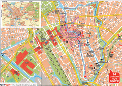
Utrecht Map
79 miles away
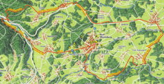
Bad Marienberg Biking Route Map
Map of biking route around Bad Marienberg region
80 miles away
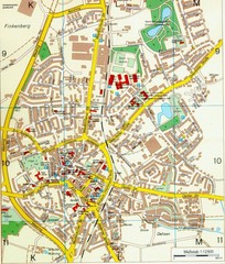
Ennirgerloh Map
Street map of Ennirgerloh
81 miles away
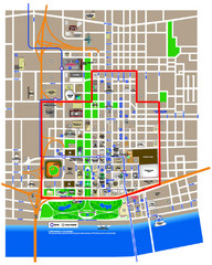
St. Louis, MO Tourist Map
82 miles away
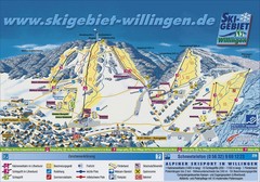
Willingen Ski Trail Map
Trail map from Willingen.
85 miles away
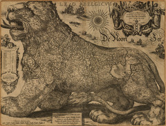
Jodocus Hondius’ Map of Belgium as a Lion...
Jodocus Hondius’ Map depicting Belgium as a Lion.
85 miles away
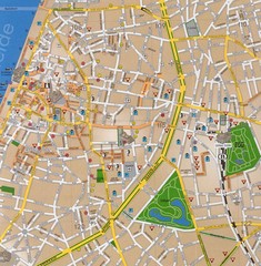
Antwerp Tourist Map
Tourist map of central Antwerp, Belgium. Scanned.
86 miles away
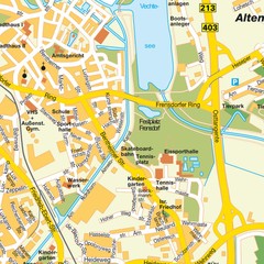
Nordhorn Center Map
Street map of Nordhorn town center
86 miles away
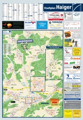
Haiger Tourist Map
Tourist map of Haiger and surrounding area
87 miles away

