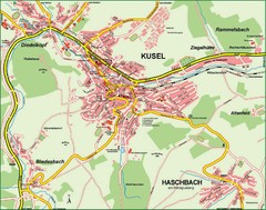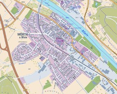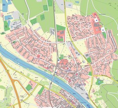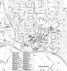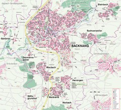
Backnang Region Map
Street map of Backnang and surrounding area
44 miles away
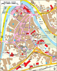
Backnang City Map
Street map of Backnang city center
44 miles away
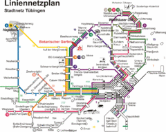
Tubingen Bus Map
Bus routes and connections, Tubingen, Germany. (German).
45 miles away
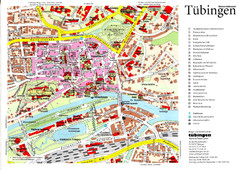
Tübingen Tourist Map
Tourist map of Old Town center of Tübingen
45 miles away
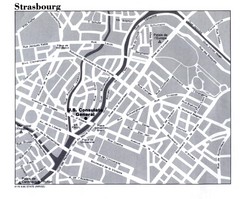
Strasbourg City Map
City map of part of Strasbourg, France. Shows US Consulate.
45 miles away

Strasbourg Map
46 miles away
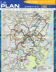
Strasbourg Bus and Tram Map
46 miles away
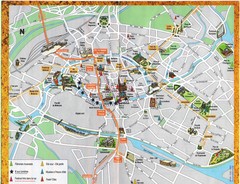
Strassburg Tourist Map
Tourist map of central Strassburg, France. Shows streets, trams, and major buildings. Scanned.
46 miles away
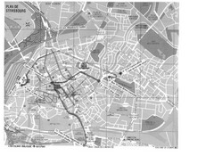
Strasbourg Map
Shows bus and tram itineraries to the Brethren Colleges Abroad office from the train station and...
46 miles away
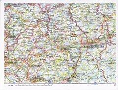
Gerhardsbrunn Map
48 miles away
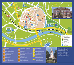
Gengenbach Tourist Map
Tourist map of Gengenbach
49 miles away
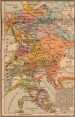
Germany Italy 1803 Map
Germany and Italy in 1803 after the Principle Decree of the Imperial Deputation
49 miles away
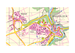
Haigerloch & Weildorf Map
Map of Haigerloch / Weildorf area
49 miles away
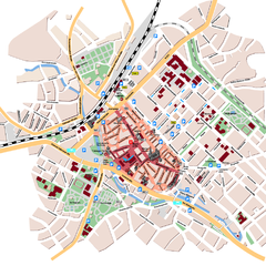
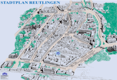
Reutlingen Tourist Map
Tourist street map of Reutlingen
51 miles away
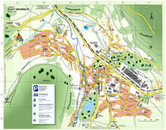
Amorbach Tourist Map
Tourist map of Amorbach
53 miles away

Oppenheim Map
Street map of city of Oppenheim
56 miles away
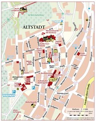
Oppenheim Altstadt Map
Street map of Altstadt area Oppenheim
56 miles away
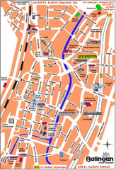
Balingen Tourist Map
Tourist street map of Balingen center
56 miles away

Alsace - Bas Rhin Map
57 miles away
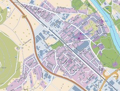
Kleinheubach Map
Street map of Kleinheubach
57 miles away
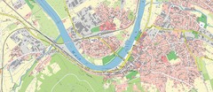
Miltenberg Map
Map of Miltenberg and surrounding area
58 miles away
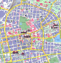
Darmstadt Tourist Map
Tourist street map of Darmstadt
58 miles away
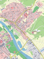
Grossheubach Map
Street map of Grossheubach
58 miles away
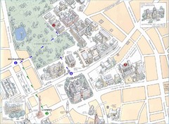
Darmstadt City Map
City map of Darmstadt, Germany. Shows major buildings and the Herrngarten.
59 miles away

Bad Münster am Stein-Ebernburg Tourist Map
Tourist street map of Bad Münster am Stein-Ebernburg
60 miles away
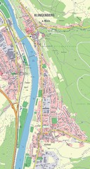
Klingenberg Map
Map of Klingenberg and surrounding region
60 miles away
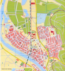
Erlenbach Map
Street map of town of Erlenbach
61 miles away
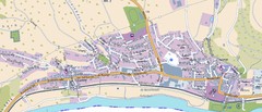
Collenberg Map
Street map of town of Collenberg
63 miles away

Wuerttembergische Landeskirche Map
Karte der Evang. Landeskirche in Wuerttemberg, The Evangelical-Lutheran Church in Wuerttemberg
65 miles away
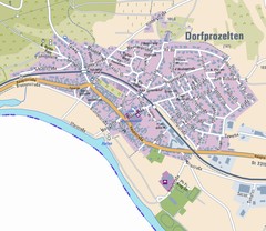
Dorfprozelten Map
Street map of Dorfprozelten
65 miles away

