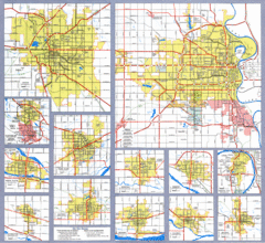
Nebraska City Road Maps Map
Shows roads/highways in 13 Nebraska cities.
320 miles away

Black Hills National Forest Map
Areas in Black Hills National Forest
321 miles away
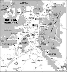
Surrounding Santa Fe, New Mexico Area Map
322 miles away
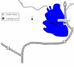
Huntington Lake State Park Map
Take a hike around this beautiful lake.
323 miles away

Attractions in Amarillo, Texas Map
Tourist map of Amarillo, Texas. Shows museums, sports facilities, and other attractions.
323 miles away
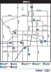
Amarillo Map
Map of main roads/highways in Amarillo
323 miles away

Black Hills National Forest Park Map
324 miles away
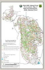
Black Hills National Forest Tourist Map
Black Hills National Forest in Custer, South Dakota
325 miles away
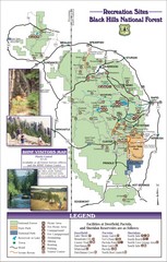
Black Hills National Forest Guide Map
Forest Recreation guide Map
325 miles away
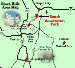
Black Hills Area Map
325 miles away
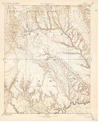
Topo Map of Escalante Quadrant, UT circa 1886
One of four USGS maps detailing the area around Capitol Reef National Park and Glen Canyon circa...
326 miles away
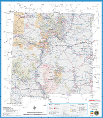
New Mexico Road Map
Detailed road map of state of New Mexico
327 miles away
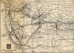
1925 Union Pacific Railroad Map Part 1
Guide to the Union Pacific railroad lines across the western half of the United States
327 miles away
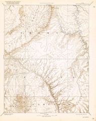
Topo Map of San Rafael Quadrant circa 1885
This is one of four USGS maps from the 1880's and 90's depicting the area around the...
328 miles away
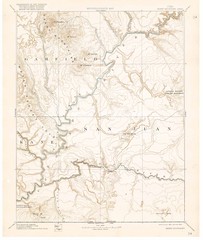
Henry Mtns Topo Map, circa 1892
One of a set of four maps circa 1890s by USGS depicting the area around the Henry Mtns and Capitol...
328 miles away
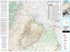
San Rafael, Utah Trail Map
Trails and main roads near Manti-LaSal National Forest and Castle Dale in Emery County, Utah
328 miles away
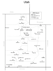
Utah Airports Map
330 miles away

Boysen State Park Map
331 miles away
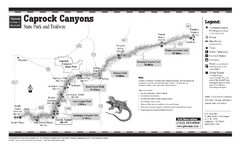
Caprock Canyon, Texas State Park Trail Map
332 miles away
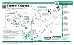
Caprock Canyon, Texas State Park Facility and...
332 miles away

Mirror Lake Highway Map
333 miles away
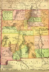
New Mexico 1895 Map
333 miles away
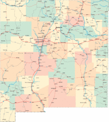
New Mexico Road Map
Detailed road map of New Mexico state
335 miles away
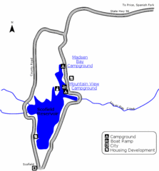
Scofield State Park Map
Camp, boat, and fish at this summer and winter recreation destination situated high in the Manti...
336 miles away
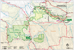
Official Badlands National Park Map
Official NPS map of Badlands National Park in South Dakota. The map shows all area's including...
336 miles away
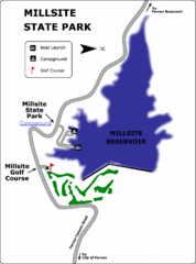
Millsite State Park Map
Camp in the quiet campground, and boat and fish on the blue waters of Millsite Reservoir. Play 18...
336 miles away
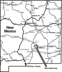
New Mexico Tourist Map
General outline of New Mexico
336 miles away
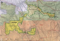
Badlands National Park Map
337 miles away

Black Hills Map
341 miles away
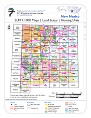
Index of BLM Maps for NM Hunting Units Map
This handy index shows the BLM surface management (land ownership) maps you need for all the...
343 miles away
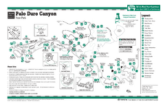
Palo Duro, Texas State Park Facility and Trail Map
343 miles away
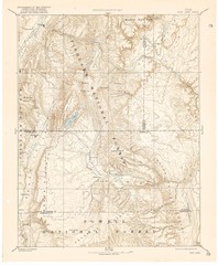
Topo Map of Capitol Reef Region (Fish Lake Quad...
This is one of four USGS maps done by the Powell survey and depicting the area around Capitol Reef...
343 miles away
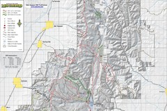
Utah Arapeen OHV Trail System- North Map
The Utah Arapeen OHV Trail System located in near the Towns of Fairview, Ephraim, and Mant, Utah.
344 miles away
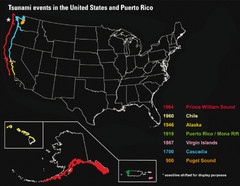
US Tsunami Events Map
Shows tsunami events in the US and Puerto Rico from 900 to 1964. Map not to scale. This map shows...
345 miles away
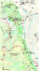
Capitol Reef National Park Official Map
Official NPS map of Capitol Reef National Park in Utah. Map shows all areas. The park and...
345 miles away
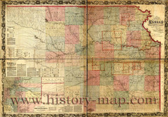
Kansas Railroad Map 1867
Here for your perusal is a sectional map of the state of Kansas showing the route of the Union...
346 miles away
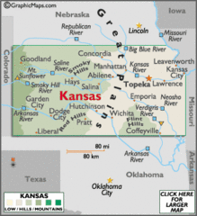
Kansas Elevations Map
346 miles away
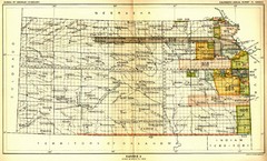
Kansas Native American Territories 1866-1867 Map
489., 492 Cherokee, 19 Jul 1866 (on Indian Territory Map 22, Kansas, Map 27) 495. Sauk and Fox of...
346 miles away
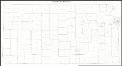
Kansas Zip Code Map
Check out this Zip code map and every other state and county zip code map zipcodeguy.com.
346 miles away
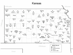
Kansas Airports Map
346 miles away

