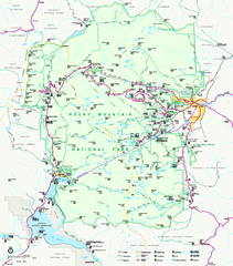
Rocky Mountain National Park Official Map
Rocky Mountain National Park Official Map. Shows all roads, trails, rivers, and mountain summits.
90 miles away
Beaver Creek Map
Beaver Creek Map, Beaver Creek Shopping Map, Beaver Creek Lodging Map, Activities, Restaurants...
90 miles away
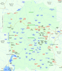
Rocky Mountain National Park Tourist Map
91 miles away

Eagle River Valley Resort Maps Map
Resort Maps of Eagle River Valley is the most popular and widely distributed map of Minturn, Red...
92 miles away
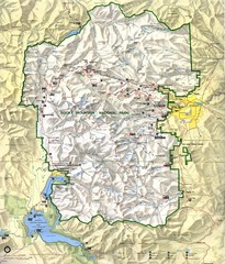
Rocky Mountain National Park Map
Rocky Mountain National Park Map and surrounding National Forests of Arapaho and Roosevelt.
94 miles away
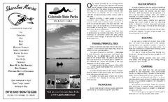
Jackson Lake State Park Map
Map of park with detail of recreation areas
96 miles away
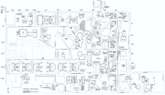
Colorado State University Map
Campus Map of Colorado State University. All area's shown.
97 miles away

Fort Collins, Colorado City Map
97 miles away
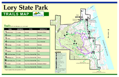
Lory State Park Trail Map
Map of park with detail of hiking trails
98 miles away
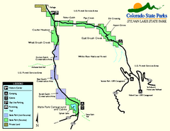
Sylvan Lake State Park Map
Map of park with detail of recreation zones and campgrounds
99 miles away

Aspen, Colorado by Carvedmaps.com Map
Aspen, Colorado with surrounding ski area. Carved of wood by carvedmaps.com - Tom Justin artist
99 miles away
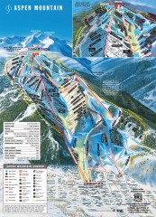
Aspen Mountain Ski Trail Map
Official ski trail map of Aspen ski area from the 2007-2008 season.
101 miles away
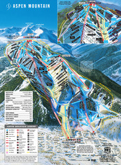
Aspen Mountain Ski Trail Map
Trail map from Aspen Mountain, which provides downhill skiing. It has 8 lifts servicing 76 runs...
101 miles away
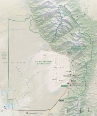
Great Sand Dunes National Park and Preserve map
Official NPS map of Great Sand Dunes National Park and Preserve. Park includes the tallest dune in...
102 miles away
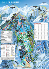
Aspen Highlands Ski Trail Map
Trail map from Aspen Highlands, which provides downhill skiing. It has 5 lifts servicing 125 runs...
104 miles away
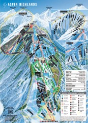
Aspen Highlands Ski Trail Map
Official ski trail map of Aspen Highlands ski area from the 2007-2008 season.
104 miles away
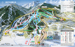
Buttermilk Mountain Ski Trail Map
Trail map from Buttermilk Mountain, which provides downhill and terrain park skiing. It has 7 lifts...
104 miles away
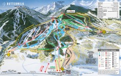
Buttermilk Ski Trail Map
Official ski trail map of Buttermilk ski area from the 2007-2008 season.
104 miles away
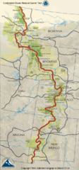
Continental Divide Trail Map
Guide to the full Continental Divide trail
104 miles away
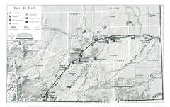
Santa Fe Trail Visitor Map
Map of the Santa Fe Trail showing all hiking trails, camping and picnic areas, roads, and monuments...
106 miles away
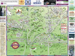
Resort Maps of Eagle River Valley Map
Resort Maps of Eagle River Valley is the most popular and widely distributed map of Minturn, Red...
107 miles away
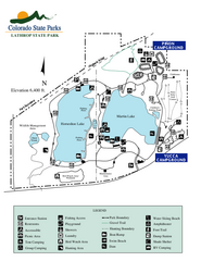
Lathrop State Park Map
Map of park with detail of recreation zones
108 miles away
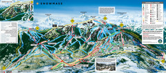
Snowmass Ski Trail Map
Trail map from Snowmass, which provides downhill and terrain park skiing. It has 24 lifts servicing...
108 miles away
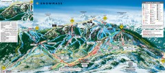
Snowmass Ski Trail Map
Official ski trail map of Snowmass ski area from the 2007-2008 season.
108 miles away
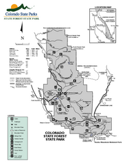
State Forest State Park Map
Map of park with detail of trails and recreation zones
109 miles away
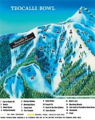
Crested Butte Mountain Resort Ski map - Teocalli...
Inset of the official Crested Butte trail map showing the experts-only Teocalli Bowl.
109 miles away
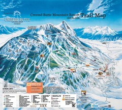
Crested Butte Mountain Resort Ski Trail Map
Official trail map of Crested Butte Mountain Resort, 2006-07 season.
110 miles away
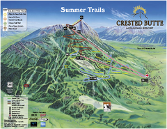
Crested Butte Mountain Resort Summer Trail Map
Official Crested Butte Mountain Resort summer trail map. Created by James Niehues.
110 miles away
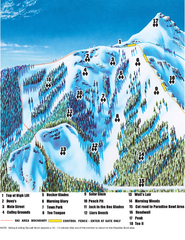
Crested Butte Mountain Resort Teocalli Bowl Ski...
Trail map from Crested Butte Mountain Resort, which provides downhill, nordic, and terrain park...
110 miles away
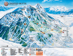
Crested Butte Mountain Resort Ski Trail Map
Trail map from Crested Butte Mountain Resort, which provides downhill, nordic, and terrain park...
110 miles away
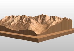
Map carved of the Maroon Bells
CarvedMaps.com can carve any area within the United States. This carving is of the Maroon Bells...
110 miles away
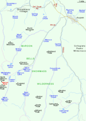
Maroon Bells Area Map
Basic Map of Watershed and Trails around Maroon Bells.
111 miles away
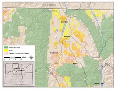
North Park Colorado Map
111 miles away
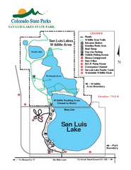
San Luis State Park Map
Map of park with detail of recreation zones
111 miles away
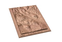
Carved Wooden Map of Crested Butte, Colorado by...
Crested Butte, CO Carved by CarvedMaps.com
112 miles away
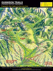
Gunnison Proposed Trails Map
Shows proposed trails from Gunnison, Colorado to Crested Butte, Colorado
113 miles away
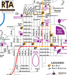
Gunnison RTA Bus Route Map
116 miles away
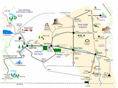
San Luis Valley Tourist Map
Tourist map of San Luis Valley, Colorado area. Shows attractions.
125 miles away
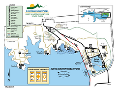
John Martin State Park Map
Map of park with detail of recreation zones
128 miles away
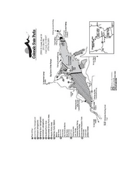
Stagecoach State Park Map
Map of park with detail of campgrounds and recreation zones
128 miles away

