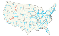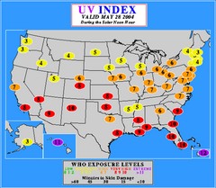
UV Index Map
UV forecast map for May 28, 2004 with exposure levels marked in color.
521 miles away
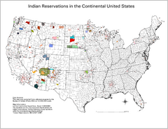
Indian Reservations in the Continental United...
Shows the location of Federal Indian Reservations in the continental United States
521 miles away
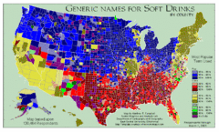
Pop vs Soda US Map
Shows most common names for soft drinks in the US by county. Based on 120,464 respondants.
521 miles away
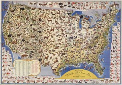
US Wildlife Map
Pictorial map of wildlife and game in the US.
521 miles away
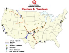
ConocoPhillips Pipelines & Terminals Map
Shows US pipelines & terminals for ConocoPhillips
521 miles away
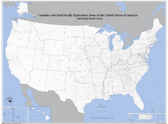
United States County Map
County map of the US
521 miles away
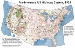
Pre-Interstate US Highway System Map
United States route and highway system pre-interstates, 1955
521 miles away
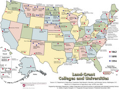
US College and University Land Grant Map
Shows land grants for US colleges and universities from 1862, 1890, and 1994
521 miles away
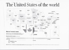
US GDP World Map
Labels each state in the US with the equivalent country in terms of GDP. Scanned.
521 miles away
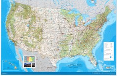
United States Map
Physical relief wall map of the United States.
521 miles away
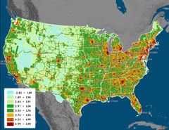
US Carbon Footprint Map
Shows the complete Vulcan Project CO2 emissions (all sectors - those presented in the first three...
521 miles away
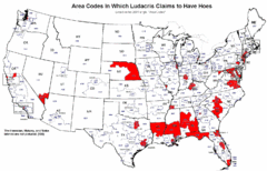
Ludacris' Hoes In Different Area Codes Map
Shows area codes in which rap star Ludacris claims to have hoes from his 2001 single "Area...
521 miles away
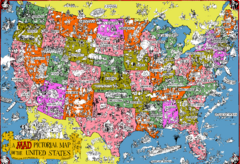
Mad Magazine USA Map
Detailed comedic drawings overlaid on a huge map of the US.
521 miles away
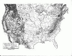
US Map - Landform Outline
Hand-drawn map of the US shows landforms (mountains and rivers) with amazing detail. Map created...
521 miles away
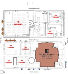
Washington Pavillion of Arts and Sciences Bus...
522 miles away
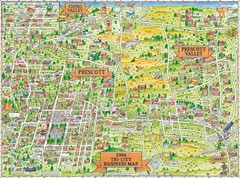
Prescott Prescott Valley and Chino Valley Tourist...
Tri-city tourist map of Prescott, Arizona, Prescott Valley, Arizona, and Chino Valley, Arizona...
523 miles away
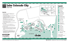
Lake Colorado City, Texas State Park Facility...
523 miles away
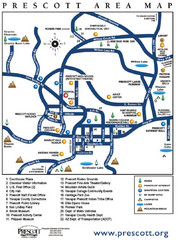
Prescott Area Map
523 miles away
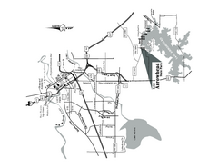
Lake Arrowhead, Texas State Park Location Map
525 miles away
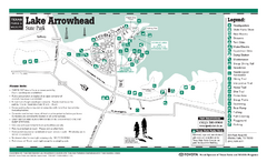
Lake Arrowhead, Texas State Park Facility and...
525 miles away
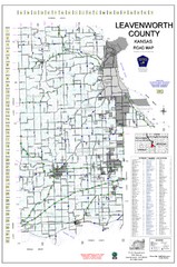
Leavenworth County Road Map
County road map of Leavenworth County, Kansas
525 miles away
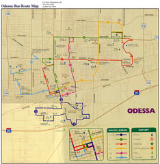
Odessa Bus Route Map
City of Odessa, Texas Bus Map with street level detail.
525 miles away
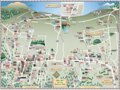
Prescott tourist map
Tourist and business map of Prescott, Arizona. Shows all businesses in the tri-city area.
526 miles away
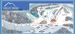
Great Bear Recreation Park Ski Trail Map
Trail map from Great Bear Recreation Park.
526 miles away
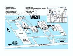
Tulsa Community College - West Campus Map
Tulsa Community College - West Campus Map. All buildings shown.
529 miles away
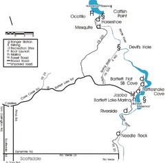
Scottsdale Map
Map of Scottsdale's reservoirs and recreational areas.
531 miles away
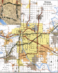
Tulsa, Oklahoma Tourist Map
532 miles away
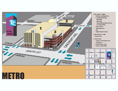
Tulsa Community College - Metro Campus Map
Tulsa Community College - Metro Campus Map. All buildings shown.
532 miles away

Snow Creek Ski Trail Map
Trail map from Snow Creek.
533 miles away

Tulsa, Oklahoma City Map
533 miles away
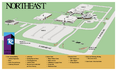
Tulsa Community College - Northeast Campus Map
Tulsa Community College - Northeast Campus Map. All buildings shown.
533 miles away
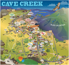
Cave Creek, Arizona Map
534 miles away
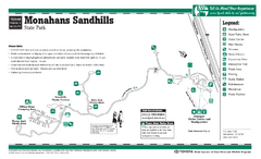
Monahans-Sandhills, Texas State Park Facility and...
534 miles away
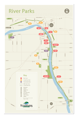
Tulsa Riverparks Map
534 miles away
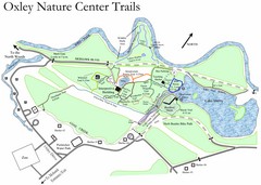
Oxley Nature Center Map
Trail map of nature center
534 miles away
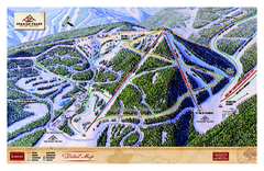
Spanish Peaks Resort Ski Trail Map
Trail map from Spanish Peaks Resort. It has 2 lifts servicing 12 runs; the longest run is 2574...
535 miles away
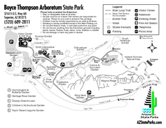
Boyce Thompson Arboretum State Park Map
Nice arboretum with lots of desert plants.
535 miles away
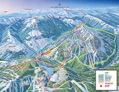
Yellowstone Club Ski Trail Map
Trail map from Yellowstone Club, which provides terrain park skiing. It has 15 lifts servicing 60...
535 miles away
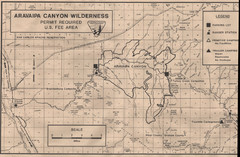
Aravaipa Canyon Map
Map of Aravaipa Canyon Wilderness
536 miles away

