United States Map
469 miles away
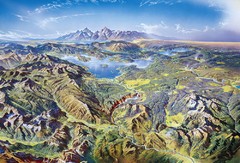
Yellowstone oblique Map
Oblique Panorama map of Yellowstone National Park
470 miles away
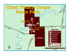
Chief Plenty Coups State Park Map
Simple and clear map of State Park.
471 miles away
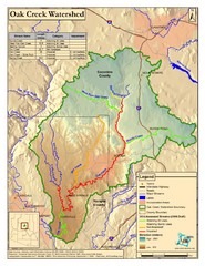
Oak Creek Watershed Map
Colorful Map of Oak Creek Watershed. Includes detailed information about the watershed, roads...
472 miles away
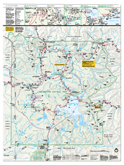
Yellowstone National Park official map
Official NPS map of Yellowstone National Park. Detail map of park with shaded relief. Established...
473 miles away
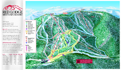
Red Lodge Mountain Ski Trail Map
Trail map from Red Lodge Mountain.
474 miles away
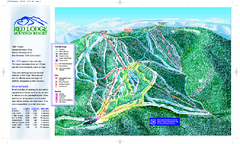
Red Lodge Mountain Ski Trail Map
Official ski trail map of Red Lodge Mountain ski area from the 2007-2008 season.
474 miles away
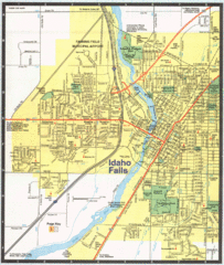
Idaho Falls, Idaho City Map
475 miles away

Bonneville Salt Flats International Speedway Map
475 miles away
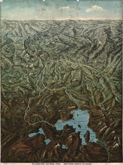
Fee’s map of Yellowstone National Park...
Charles S. Fee's map of Yellowstone in 1895.
476 miles away
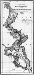
1871 Yellowstone River and Lake Map
Historic guide to the Yellowstone River and Lake in Yellostone National Park
476 miles away
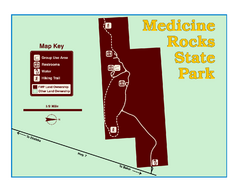
Medicine Rocks State Park Map
As the name implies, Medicine Rocks was a place of "big medicine" where Indian hunting...
476 miles away
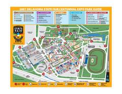
Oklahoma State Fair Park Map
Map of the Centennial Expo Park of the Oklahoma State Fair in The State Fair is spread out over...
478 miles away
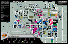
Oklahoma State University Map
479 miles away
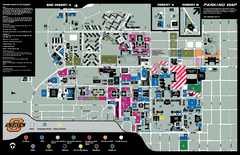
Oklahoma State University Map
Oklahoma State University Campus Map. All buildings shown.
480 miles away
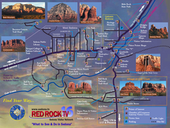
Sedona Tourist Map
Tourist map of Sedona, AZ. Shows points of interest and photos of local red rock formations and...
481 miles away
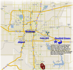
Oklahoma City, Oklahoma Tourist Map
481 miles away
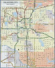
Oklahoma City, Oklahoma Tourist Map
481 miles away
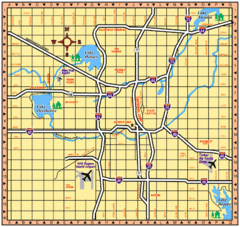
Oklahoma City, Oklahoma Tourist Map
481 miles away
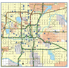
Oklahoma City, Oklahoma Tourist Map
481 miles away
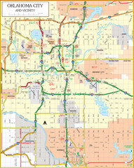
Oklahoma City, Oklahoma Tourist Map
481 miles away
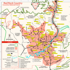
Red Rock County Trail Map
Trail map of trails of Red Rock County, AZ around Sedona, AZ. Shows trailheads and trail names.
482 miles away
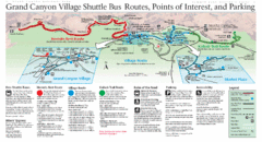
Grand Canyon Shuttle Bus Map
Guide to shuttle bus routes, points of interest and parking in Grand Canyon National Park
482 miles away
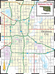
Oklahoma City, Oklahoma City Map
483 miles away
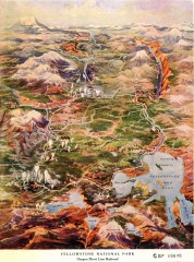
Detail of Yellowstone National Park, 1910 Map
Detail of Yellowstone National Park showing the Oregon Short Line Railroad, 1910
483 miles away
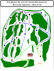
Elk Ridge Ski Trail Map
Trail map from Elk Ridge, which provides downhill skiing. It has 2 lifts servicing 7 runs; the...
484 miles away
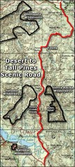
Desert to Tall Pines Scenic Byway Map
A much better map of the Desert to Tall Pines Scenic Byway. Unfortunately does not give hiking...
484 miles away
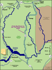
From the Desert to the Tall Pines Scenic Byway Map
Desert to Tall Pines Scenic Byway. This is the Scenic Byways official name. This is not a very...
484 miles away
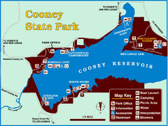
Cooney State Park Map
Simple and clear State Park Map.
486 miles away
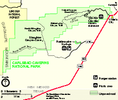
Carlsbad Caverns National Park Official Map
Official NPS map of Carlsbad Caverns National Park in New Mexico. Map shows all areas. Carlsbad...
487 miles away
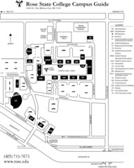
Rose State College Campus Map
Campus Guide to Rose State College, OK
487 miles away
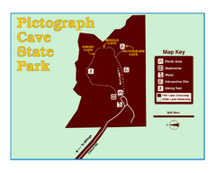
Pictograph Cave State Park Map
The 2,730-square-foot building, on the northwestern side of the existing parking lot, is designed...
488 miles away
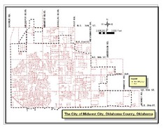
Midwest City Map
City map of Midwest City, Oklahoma
488 miles away
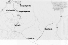
Central Arizona Wineries Map
490 miles away
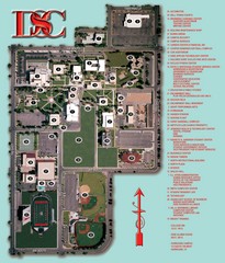
Dixie State College Campus Map
Campus Map
491 miles away
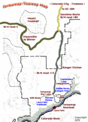
Toroweap Park Map
491 miles away
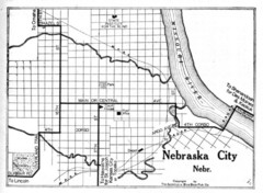
Nebraska City 1920 Map
492 miles away
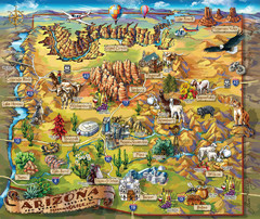
Arizona Fun Map
492 miles away
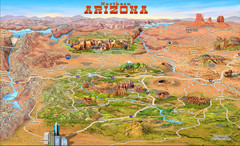
Northern Arizona attractions Map
492 miles away
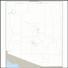
Arizona Zip Code Map
Check out this Zip code map and every other state and county zip code map zipcodeguy.com.
492 miles away

