
Snowbird Trail Map
Ski trail map
379 miles away

Lake Powell Oblique Map
380 miles away
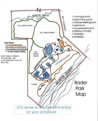
Bader Park Map
381 miles away
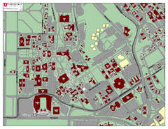
University of Utah Map
383 miles away
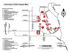
University of Utah Map
University of Utah Campus Map. All buildings shown.
383 miles away

Disc Golf Courses Map
Disc Golf Courses in and near the contiguous United States as of 1/1/2011, according to Disc Golf...
384 miles away
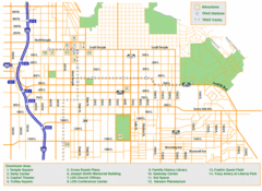
Downtown Salt Lake City Map
Street map of downtown Salt Lake City
385 miles away
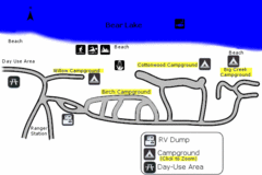
Rendezvous Beach Map
Bear Lake State Park is nestled high in the Rocky Mountains on the Utah-Idaho border. The cool...
385 miles away
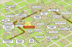
Salt Lake City Tourist Map
Tourist map of Salt Lake City, Utah. Shows points of interest.
385 miles away

Jordan River Parkway Map
385 miles away

Hopi Reservation Map
Hopi Reservation locations in Arizona
385 miles away
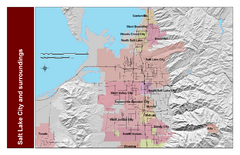
Salt Lake City and Surrounding Area Map
Cities and streets identified along with mountain range elevation.
386 miles away
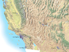
Southwest USA topo Map
386 miles away
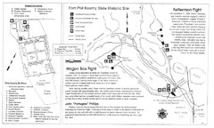
Fort Phil Kearny State Historic Site Map
Fort Phil Kearny State Historic Site is a National Historic Landmark located between Sheridan and...
386 miles away
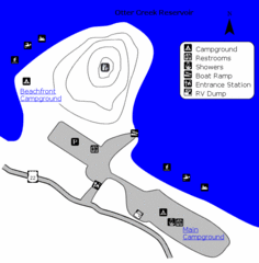
Otter Creek Reservoir Map
This quiet getaway is a great destination for ATV riders, boaters, and birders. Access three ATV...
387 miles away
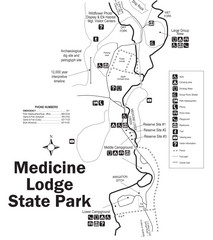
Medicine Lodge State Park Map
The Medicine Lodge site has long been known for its Indian petroglyphs and pictographs, but not...
388 miles away
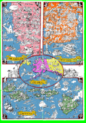
A MAD Pictorial Map of the United States - Back...
I found these raw assembled scans in a dieing torrent in 2010. Hash code...
389 miles away
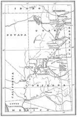
1914 Grand Canyon & Colorado River Map
Historic map of the Colorado River, from Wyoming to Mexico
389 miles away
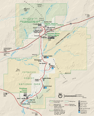
Petrified Forest National Park Official Park Map
Official NPS map of Petrified Forest National Park in Arizona. Open year round except Christmas...
389 miles away
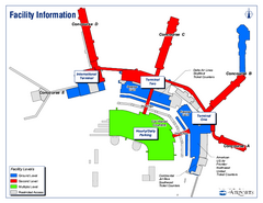
Salt Lake City International Airport Terminal Map
Official Terminal Map of Salt Lake City International Airport. Shows all terminals and facilities.
389 miles away
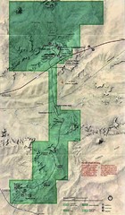
Petrified Forest National Park Map
Petrified Forest National Park Map with trails, vistiors centers and park area marked.
390 miles away
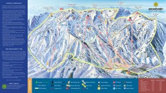
Snowbasin Ski Trail Map
Official ski trail map of ski area from the 2007-2008 season.
392 miles away

Snowbasin Nordic Trail Map
Nordic trail map of Snowbasin resort, Utah
392 miles away
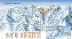
Powder Mountain Ski Trail Map
Official ski trail map of Powder Mountain ski area from the 2007-2008 season.
392 miles away
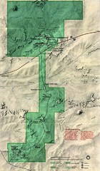
Petrified Forest Map
Map of the Petrified Forest, Painted Desert and Rainbow Forest. Shows all roads, tourist...
393 miles away

Wolf Mountain Ski Trail Map
Trail map from Wolf Mountain.
394 miles away

Utah mountain resorts Map
397 miles away
Montpelier Ranger District East Map
Map for Summer Encampment trip to Montpelier, Wyoming for Idaho Company, American Long Rifle...
397 miles away

Beaver Mountain Ski Area Ski Trail Map
Trail map from Beaver Mountain Ski Area.
397 miles away
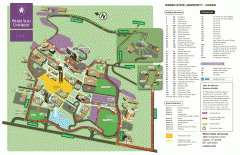
Weber State University Map
Weber State University Campus Map. All buildings shown.
398 miles away
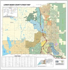
Lower Weber County Street Map
Street map for area around Ogden, UT
399 miles away
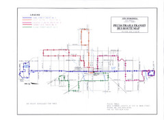
Pecos Trails Bus Route Map
400 miles away
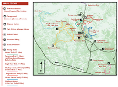
Kodachrome Basin State Park Map
Trail map of Kodachrome Basin State Park, Utah. Shows hiking trails and park facilities.
400 miles away
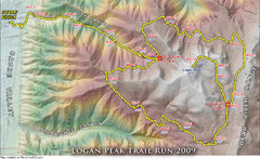
Logan Peak Trail Run Map 2009
Trail run map of the Logan Peak Trail Run 2009 course.
400 miles away
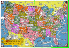
A MAD Pictorial Map of the United States - Front...
I found these raw assembled scans in a dieing torrent in 2010. Hash code...
400 miles away
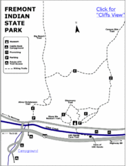
Fremont Indian State Park Map
Discover artifacts, petroglyphs, and pictographs left behind by the Fremont Indians. During...
401 miles away
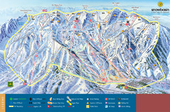
Snowbasin Mountain Trail Map
Ski trail map of Snowbasin Mountain
401 miles away
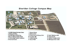
Sheridan College Campus Map
Sheridan College Campus Map. Shows all buildings.
401 miles away
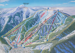
Ski Apache Ski Trail Map
Trail map from Ski Apache.
402 miles away


