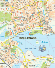
Schleswig Map
Map of Schleswig region
less than 1 mile away
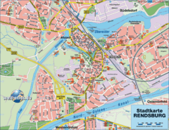
Rendsburg Map
Street map of city of Rendsburg
15 miles away
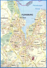
Flensburg Map
Street map of Flensburg and surrounding area
19 miles away
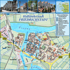
Friedrichstadt Tourist Map
Tourist street map of Friedrichstadt
22 miles away
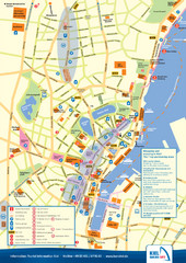
Kiel Tourist Map
Tourist map of Kiel, Germany. Shows streets, hotels, and points of interest.
26 miles away

Kiel Map
26 miles away
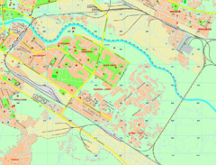
Smol, Denmark Map
27 miles away
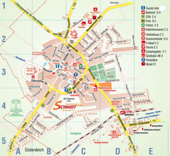
Wesselburen Tourist Map
Tourist street map of Wesselburen
34 miles away
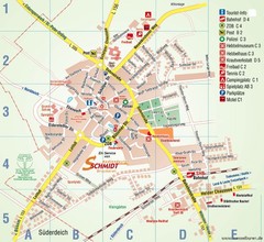
Wesselburen Tourist Map
Tourist map of Wesselburen
34 miles away

Opfer des Nationalsozialismus in Dithmarschen Map
34 miles away
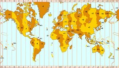
Welt Zeitzonen Map
35 miles away
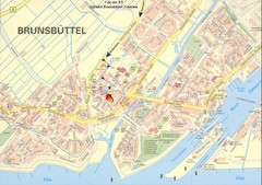
Brunsbüttel Map
Street map of Brunsbüttel and surrounding region
46 miles away
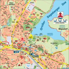
Bad Segeberg Tourist Map
Tourist street map of bad Segeberg
50 miles away
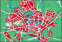
Otterndorf Map
Street map of Otterndorf
56 miles away
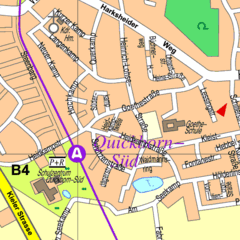
Quickborn Center Map
Street map of Quickborn town center
56 miles away
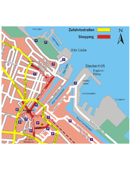
Cuxhaven Center Tourist Map
Tourist map of Cuxhaven center
57 miles away
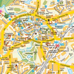
Bad Oldeshloe Map
Street map of downtown Bad Oldeshloe
59 miles away
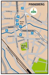
Pinneberg Center Map
Map of Pinneberg town center
60 miles away
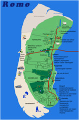
Romo Island Tourist Map
60 miles away
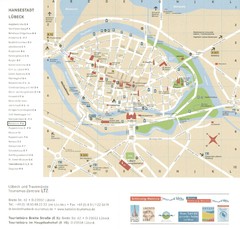
Luebeck Tourist Map
Street tourist map of city center
63 miles away
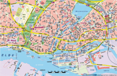
Hamburg Street Map
Street map of central Hamburg, Germany. Shows many canals.
69 miles away
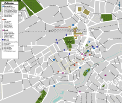
Odense Tourist Map
Tourist map of downtown
69 miles away
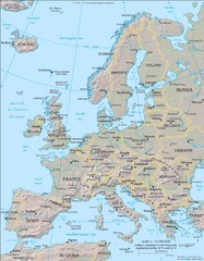
Europe Physical Map
72 miles away
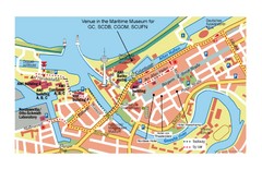
Bremerhaven City Map
City map of central Bremerhaven, Germany. Alfred Wegener Institute for Polar and Marine Research...
79 miles away
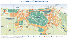
Kühlungsborn Map
Map of Kühlungsborn
91 miles away
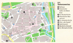
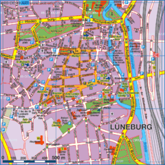
Luneburg Map
94 miles away
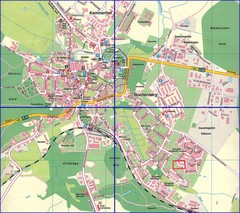
Doberan Map
Street map of city of Doberan
98 miles away
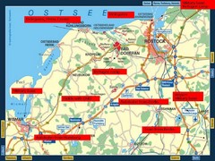
Rostok Region Tourist Map
100 miles away
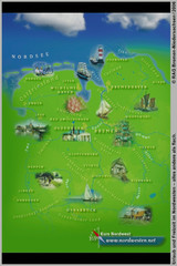
Northwest Germany Tourist Map
Tourist map of northwest region of Germany. Shows photos of major towns and regional icons.
103 miles away

