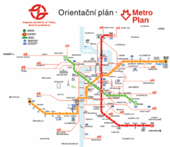
Prague Metro Map
64 miles away
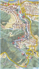
Transportation near Prague Map
Locations and destinations of transportation in and near Prague
64 miles away
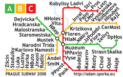
Prague Metro Map 2008 (for small displays)
Small version of Prague metro map of mobile phones, etc.
64 miles away
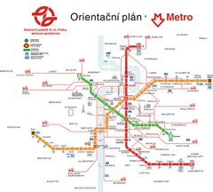
Prague Public Transport Map
Public transportation in Prague
64 miles away
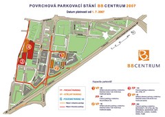
BB Centrum Map (Czech)
BB Centrum is one of the largest and most successful developments in the Czech Republic. This new...
64 miles away
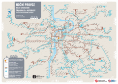
Tram Night Operation Map
64 miles away
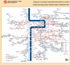
Prague Night Public Bus Tram Map
64 miles away
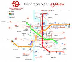
Prague Metro and Strret Car Map
Overview of Prague's metro and bus lines. Date unknown.
64 miles away
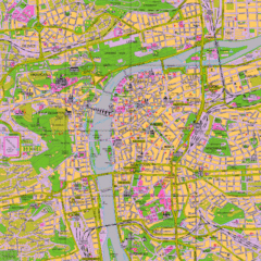
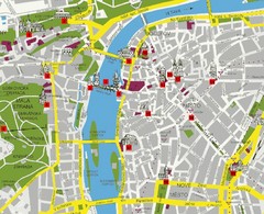
Prague Tourist Map
Tourist map of Prague, Czech Republic.
64 miles away
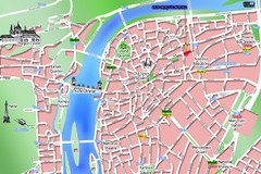
Old Prague Tourist Map
Simplified tourist map of old Prague, Czech Republic. Shows major landmarks, metro stations, and...
64 miles away
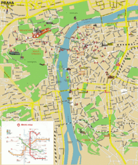
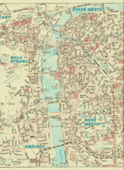
Prague (Praha) Tourist Map
Guide to major streets, points of interest and Metro
64 miles away
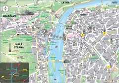
Prague Historical Center Map
Tourist map of the historical center of Prague, Czech Republic. Shows points of interest.
64 miles away
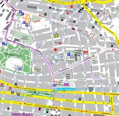
Praha Tourist Map
65 miles away
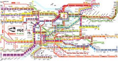
Prague Metro Map
Guide to Prague public transportation
65 miles away
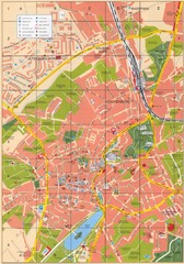
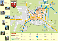
Altenburg Tourist Map
Guide to Altenburg, Germany in German
65 miles away
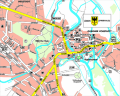
Lübben (Spreewald) Map
Street map of Lübben (Spreewald)
68 miles away
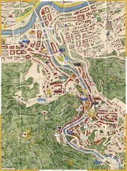
Karlovy Vary Czech Republic Tourist Map
Tourist map of Karlovy Vary, Czech Republic. Shows businesses, buildings of historical interest and...
69 miles away
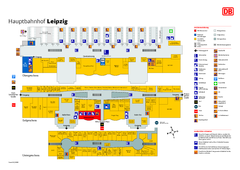
Leipzig HBf Map
73 miles away
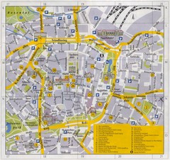
Leipzig Inner City Tourist Map
Tourist map of inner city Leipzig, Germany. Shows major buildings and points of interest.
73 miles away
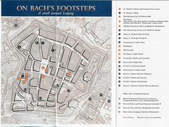
Leipzig Bach Tourist Map
Tourist map of points of interest in central Leipzig, Germany related to composer Johann Sebastian...
73 miles away
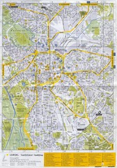
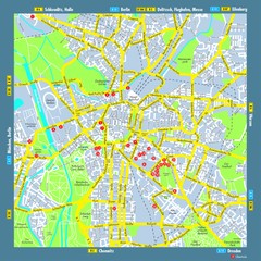
Leipzig Tourist Map
Tourist map of Leipzig, Germany. Shows points of interest. Scanned.
73 miles away
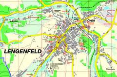
Lengenfeld Map
Street map of Lengenfeld
74 miles away

Czech Republic Map
75 miles away
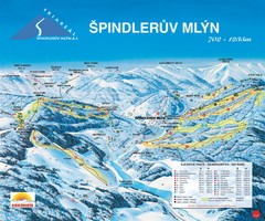
Špindlerův Mlýn Ski Trail Map
Trail map from Špindlerův Mlýn.
75 miles away
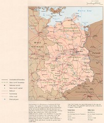
E Germany Map
83 miles away
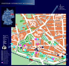
Wittenberg Tourist Map
City tourist map of Wittenberg, Germany
84 miles away
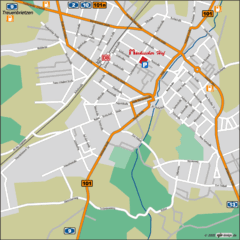
Luckenwalde Map
Street map of Luckenwalde
85 miles away
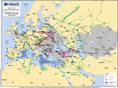
Proposed European Crude Oil Pipelines Map
Shows pan-European proposed priority axes for crude oil pipelines
86 miles away
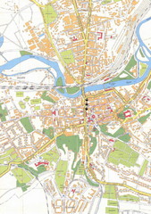
Weissenfels City Map
City map of Weissenfels, Germany
87 miles away
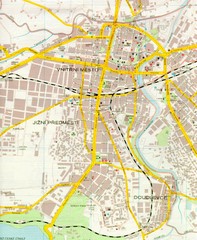
Plzen City Map
City map of Plzen, Czech Republic. Scanned.
87 miles away
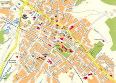
Halle City Map
Street map of Halle city center
93 miles away
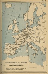
Universities of Europe Historical Map
94 miles away

