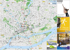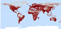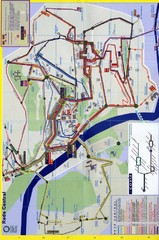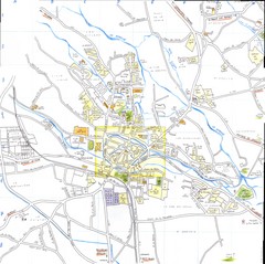
l'Isle sur la Sorgue Map
349 miles away
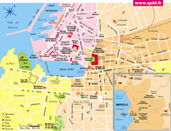
Marseille Tourist Map
Tourist map of central Marseille, France. Inset shows surrounding area. Shows points of interest.
354 miles away
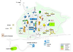
Luminy Campus Map
A map of the scientific campus of Luminy, Marsielle.
356 miles away

Vaison la Romaine Map
357 miles away
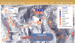
Le Fanget Ski Trail Map
Trail map from Le Fanget, which provides nordic skiing.
357 miles away
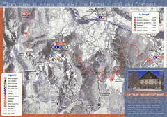
Le Fanget Ski Trail Map
Trail map from Le Fanget, which provides nordic skiing.
357 miles away
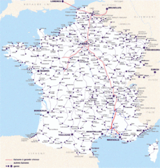
Map of SNCF National Railway Network in France
A SNCF map (Société Nationale des Chemins de Fer) showing the French train System...
357 miles away
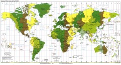
World Time Zone Map
Shows time zones of the world. From yeswatch.com: "The world is divided into 24 time zones...
360 miles away
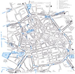
Aix en Provence Map
361 miles away
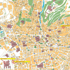
Granada Tourist Map
Tourist map of central Granada, Spain. Shows points of interest with icons.
364 miles away
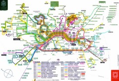
Granada Bus Routes Map
364 miles away
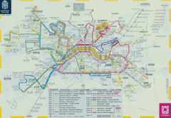
Granada Bus Lines Map
Map of the city bus lines
364 miles away
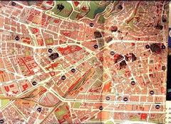
Granada Tourist Map
Tourist map of Granada, Spain
364 miles away
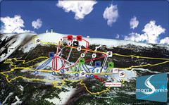
Mont Serein Ski Trail Map
Trail map from Mont Serein, which provides downhill skiing. This ski area has its own website.
365 miles away
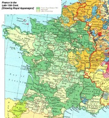
France Late 15th Century Map
France in the Late 15th Century (showing Royal Appanages)
366 miles away
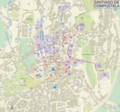
Santiago de Compostela Tourist Map
366 miles away
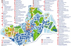
Santiago de Compostela Tourist Map
Tourist map of Santiago de Compostela, Spain. Shows many points of interest.
366 miles away
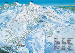
Sierra Nevada Ski Resort Map
Guide to one of the best ski resorts in Spain
367 miles away
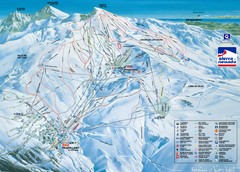
Sierra Nevada Sierra Nevada Ski Trail Map
Trail map from Sierra Nevada, which provides downhill, night, nordic, and terrain park skiing. It...
367 miles away
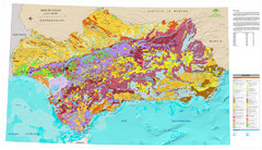
Mapa de Unidades de Suelos de Andalucía Map
Mapa de suelos de Andalucía
369 miles away
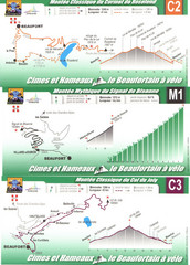
Beaufort Cycling Route Map
Three routes drawn and elevation gains shown for each cycling route in Beaufort, France's...
370 miles away

Chateaux of the Loire River Valley Map
Chateaus of the Loire River Valley region in France. Stretching from the Atlantic from Nantes to...
370 miles away
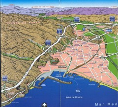
Almeria Panoramic Map
Panoramic map of Almeria, Spain
373 miles away
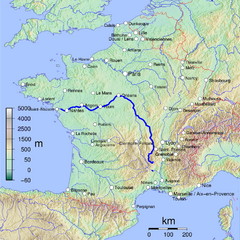
France Map with river Loire Highlighted
Map of France with river Loire higlighted.
377 miles away
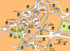
Signes Map
378 miles away
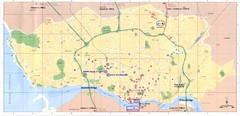
Porto Tourist Map
Map of Porto's main streets, train station, airport, landmarks and other areas
378 miles away
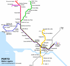
Porto Metro Ligeiro Map
Transit map of city's light rail system
378 miles away
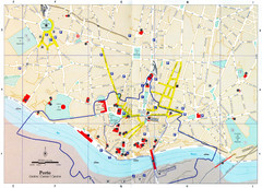
Porto Tourist Map
Tourist map of central Porto, Portugal. Shows points of interest. Dotted line shows the area...
378 miles away
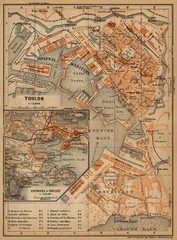
Toulon Map
The following maps are from "Southern France Including Corsica; Handbook for Travellers"...
380 miles away
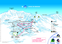
Grand Echaillon Ski Trail Map
Trail map from Grand Echaillon.
382 miles away
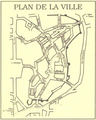
Vannes Map
385 miles away
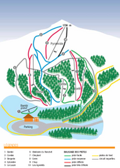
Valdrôme Ski Trail Map
Trail map from Valdrôme.
387 miles away
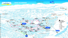
Font d’Urle Nordic Ski Trail Map
Trail map from Font d’Urle.
387 miles away
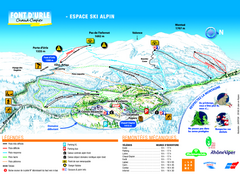
Font d’Urle Ski Trail Map
Trail map from Font d’Urle.
387 miles away
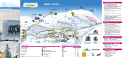
Lente Ski Trail Map
Trail map from Lente.
389 miles away
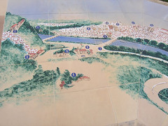
Coimbra Map
This is a map of Coimbra, Portugal done on painted tile
389 miles away
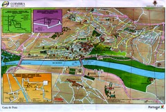
Coimbra Map
389 miles away

