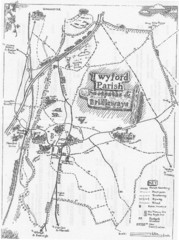
Twyford Parish Map
Footpaths and bridleways map of Twyford Parish
644 miles away
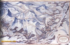
Davos-Klosters Ski Trail Map
Trail map from Davos-Klosters.
644 miles away

Mantova Map
644 miles away
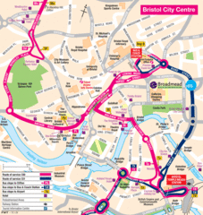
Bristol Hotel Map
644 miles away

Bristol, England Tree Map
644 miles away
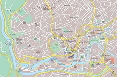
Central Bristol Tourist Map
Neighborhoods, landmarks and streets in Bristol, England
644 miles away
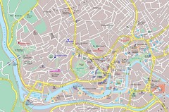
Bristol Tourist Map
Tourist map of central Bristol, England.
644 miles away
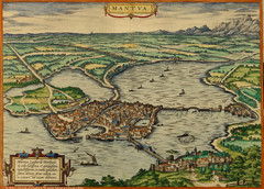
Mantua City Map 1575
Panoramic view of Mantua (Mantova), Italy from Braun and Hogenberg Civitates Orbis Terrarum Volume...
644 miles away
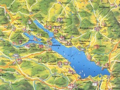
Lake Konstanz Map
645 miles away
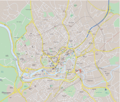
Bristol City Map
Overview map of city of Bristol. Zooms with details available on original website.
645 miles away

Peschiera del Garda Map
645 miles away
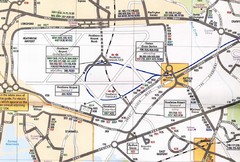
Heathrow Airport Transportation Map
645 miles away
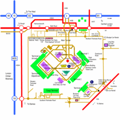
Heathrow Airport Map
645 miles away
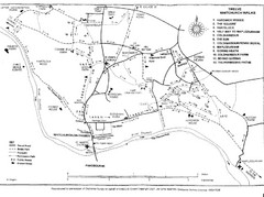
Whitchurch on Thames Walking Map
Guide to 12 walks around Whitchurch on Thames, UK
645 miles away

River Thames Map
River Thames Map, illustrated by Katherine Baxter for the Runnymede-on-Thames Hotel as a 8 metre...
645 miles away
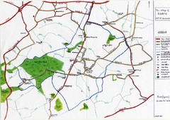
Hoath Town Map
Handwritten map of town of Hoath, England near Canterbury.
645 miles away

Lauterbad, Germany Map
646 miles away
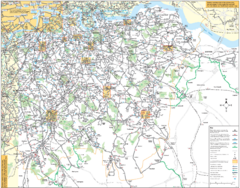
Southeast London Bus Map
646 miles away
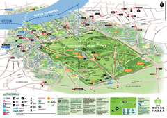
Greenwich Park Map
647 miles away
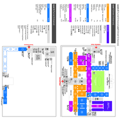
The Victoria & Albert Museum Floor plan Map
Map of The Victoria & Albert Museum in London. Shows entrances and exhibits.
647 miles away

Thanet Isle Map
1809 Guide to Thanet Isle in Britain
648 miles away
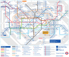
London Tube Map
648 miles away
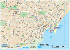
Ramsgate Tourist Map
Near Kent, England
648 miles away
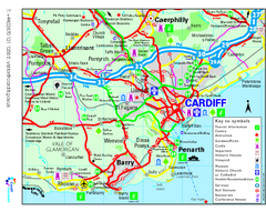
Cardiff Region Tourist Map
Regional tourist map of area surrounding Cardiff, UK. Shows all attractions.
648 miles away

Torri del Benaco region and centro Map
648 miles away
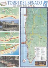
Torri del Benaco Map
648 miles away

Lazise region and centro Map
648 miles away
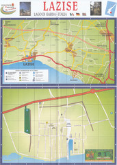
Lazise Map
648 miles away
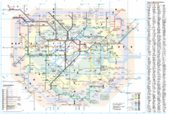
London Underground Map
648 miles away
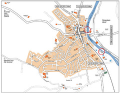
Henley-on-thames Map
Visitor Map of Henley-on-thames. Map shows location of most main roads, buildings, and parking.
648 miles away
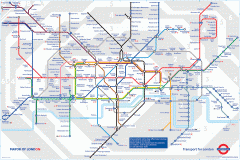
London Underground Map
Official map of the London Underground. An evolution of the original design conceived in 1931 by...
648 miles away
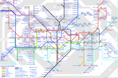
London Underground Map
London Underground map with all zones
648 miles away
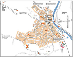
Henley-on-Thames Map
648 miles away

Garda region and centro Map
648 miles away
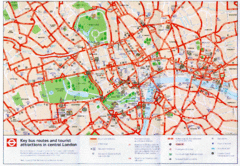
London Bus and Tourist Map
Key bus routes and tourist attractions in central London. Scanned.
648 miles away
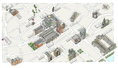
Map of London Covent Garden
Map of Covent Garden London
648 miles away
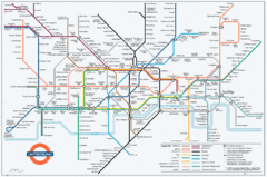
Untergrund Map
Comedic London Underground Tube map showing what it would look like if England had lost the war.
648 miles away
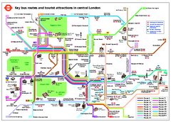
Central London Tourist and Bus map
Current Map showing all London Attractions and Bus transportation Route.
648 miles away
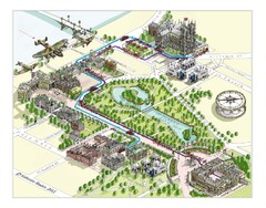
London Westminster Royal Wedding Map
London map, Route map for the royal Wedding 29th April 2011
648 miles away

