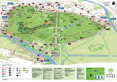
Desenzano del Garda vicinity Map
639 miles away
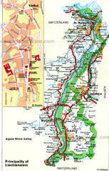
Liechtenstein Principality Map
639 miles away
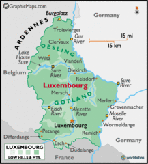
Luxembourg Map
639 miles away
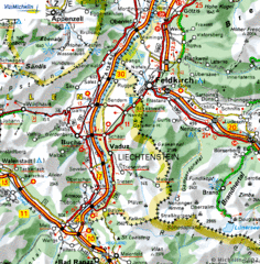
Liechtenstein road Map
639 miles away
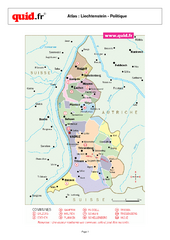
Liechtenstein Regional Map
Country map with detail of regional divides
640 miles away
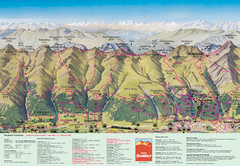
Davos Schatzalp Summer Trail Map
Trail map showing summer trails and lifts at Davos Schatzalp in Davos, Switzerland.
640 miles away
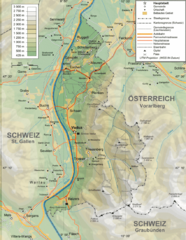
Liechtenstein topography Map
640 miles away
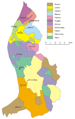
Liechtenstein Tourist Map
640 miles away
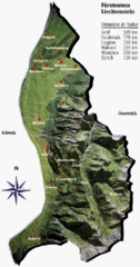
Liechtenstein Tourist Map
640 miles away
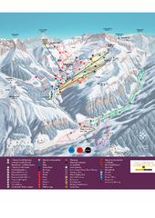
Malbun Ski Trail Map
Ski trail map of area surrounding Malbun, Liechtenstein. Also shows walking routes.
640 miles away

Salo Map
640 miles away

Grosseto Map
640 miles away
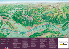
Liechtenstein Tourist Map
Tourist map of the country of Liechtenstein. Panoramic view shows all towns, trails, and mountains.
640 miles away

Salo Map
640 miles away
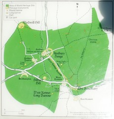
Avebury World Heritage Site Map
Map of Avebury, England showing World Heritage Site and surroundings. From photo.
640 miles away
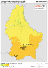
Solar Radiation Map of Luxembourg
Solar Radiation Map Based on high resolution Solar Radiation Database: SolarGIS. On the Solar Map...
640 miles away
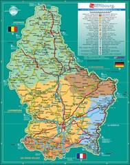
Luxembourg Tourism Map
Tourist Map of Luxembourg showing major roads, railways, and tourist attractions.
640 miles away
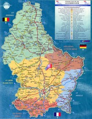
Luxembourg Tourist Map
Tourist map of the country of Luxembourg. Shows points of interest and activity icons. In French...
640 miles away
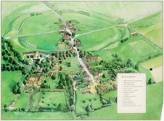
Avebury Tourist Map
Tourist map of Avebury, England. Shows Avebury Henge. From photo.
641 miles away
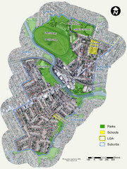
Canterbury Map
Map of parks, main streets, etc.
641 miles away
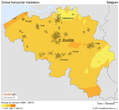
Solar Radiation Map of Belgium
Solar Radiation Map Based on high resolution Solar Radiation Database: SolarGIS. On the Solar Map...
641 miles away
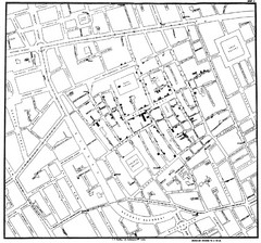
Cholera Outbreak of London Map
Map used to analyze the cholera outbreak in London, specifically South Hampton in 1853
641 miles away

Colle di Val d'Elsa Map
641 miles away

Salo and Gardone Map
642 miles away
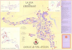
Colle di Val d'Elsa Map
642 miles away
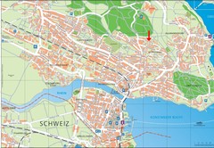
Konstanz City Map
642 miles away
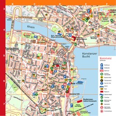
Konstanz Tourist Map
Tourist map of Konstanz
642 miles away

Gardone Riviera Map
642 miles away
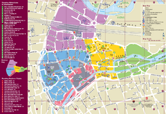
Reading Tourist Map
Tourist map of city center of Reading, England. Shows attractions and other tourist points of...
642 miles away
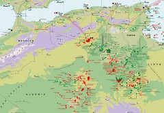
Algeria Hydrocarbon Map
Hydrocarbon map of Algeria and Tunisia.
642 miles away
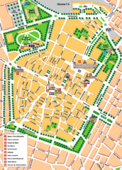
Modena Tourist Map
Tourist map of center of Modena, Italy. Shows points of interest.
643 miles away
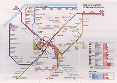
St. Georges Hospital Bus Services Map
643 miles away
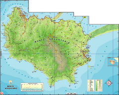
Monte Argentario Overview Map
Overview map of Monte Argentario, Italy, quasi-island in Tuscany
643 miles away
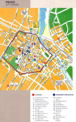
Prato Tourist Map
Tourist map of center of the city of Prato, Italy. Shows points of interest.
643 miles away
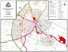
Chippenham Town Map
643 miles away
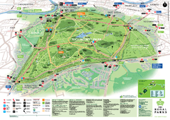
Richmond Park Map
644 miles away
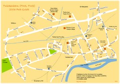
Twickenham Pub Guide Map
Map of TW1 & TW2 area
644 miles away
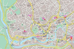
Bristol Centre Map
644 miles away
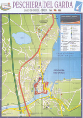
Peschiera del Garda Map
644 miles away

