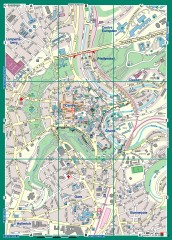
Luxembourg City Street Map
Street map of Luxembourg city and surrounding area.
629 miles away
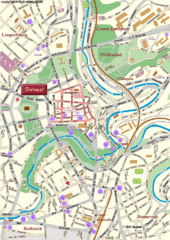
Luxembourg city Map
629 miles away

San Miniato Map
629 miles away

San Miniato Map
629 miles away
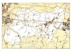
Capel Footpaths Map
Map of Footpaths in Capel Parish
630 miles away
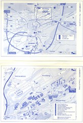
Kirchberg Map
Map of Kirchberg, Luxembourg. In French. Scanned.
631 miles away
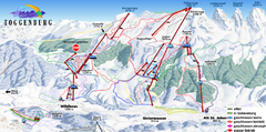
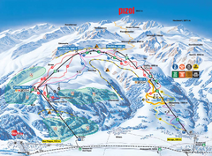
Toggenburg Ski Trail Map
Trail map from Toggenburg.
631 miles away
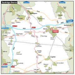
Tandridge District, England Region Map
631 miles away

St. Moritz Tourist Map
Tourist map of St. Moritz, Switzerland. Shows summer and winter points of interest.
631 miles away
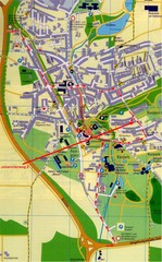
Bad Durrheim Map
Street map of Bad Durrheim
631 miles away
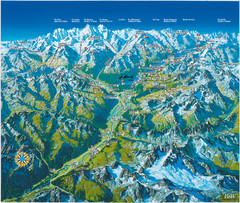
Engadin St. Moritz Region Summer Map
Summer panoramic tourist map of Engadin region of Switzerland. Includes St. Moritz, Piz Bernina...
631 miles away
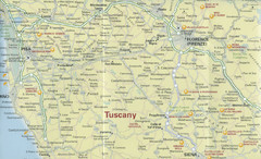
Tuscany Map
632 miles away
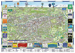
Woking Tourist Map
Tourist map of Woking, Surrey, England. Oblique/3D town map with ads.
634 miles away

Vinci Map
634 miles away
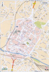
Charleroi Street Map
Street map of Charleroi, Belgium. Major buildings labeled.
635 miles away

Pistoia Map
635 miles away

Disabled Accessible Places in Maidstone, Kent Map
A guide to places in Maidstone that are wheelchair accessible.
636 miles away
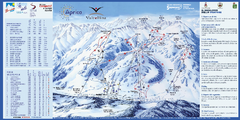
Aprica Ski Trail Map
Trail map from Aprica, which provides downhill skiing. This ski area has its own website.
636 miles away
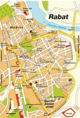
Rabat city Map
636 miles away
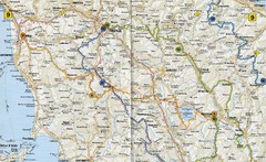
Tuscany Road Map
Road map of Tuscany, Italy. Shows routes of some kind.
637 miles away
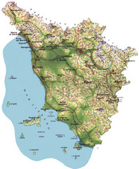
Tuscany Physical Map
Physical map of Tuscany, Italy.
637 miles away
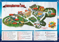
Chessington Zoo Map
637 miles away
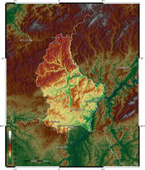
Luxembourg topo Map
637 miles away
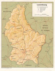
Luxembourg Map
Map of the mountains, cities and roadways of Luxembourg.
637 miles away
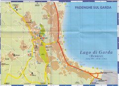
Padenghe sul Garda Map
637 miles away
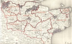
Kent, England County Map
638 miles away
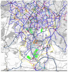
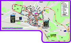
Cheam Bus Route Map
Olympic Bid 2016 - Bus Route Map
638 miles away
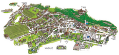
Vaduz Town Map
Tourist map of town of Vaduz, Liechtenstein. Panoramic view shows buildings and streets.
638 miles away

Desenzano Map
638 miles away
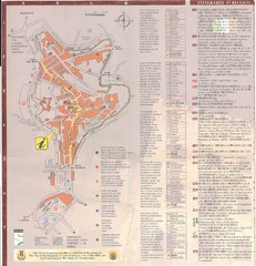
San Gimignano Map
638 miles away
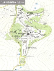
San Gimignano Map
638 miles away
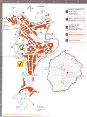
San Gimignano Map
638 miles away
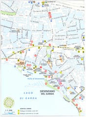
Desenzano del Garda Map
638 miles away

Desenzano del Garda Map
638 miles away
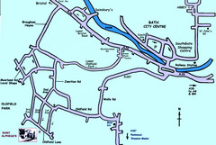
Bath City, England Map
Map from the centre of Bath, visitor information and streets.
638 miles away

Desenzano del Garda vicinity Map
639 miles away
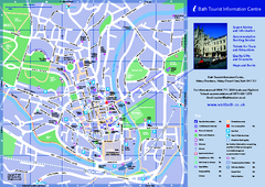
Bath City Map
639 miles away

