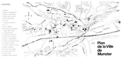
Munster Map
101 miles away
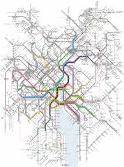
Zurich Tram Map
Map of tram system for Zurich and surrounding areas
101 miles away
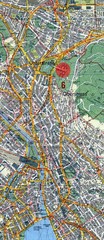
Zurich, Switzerland Tourist Map
101 miles away
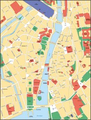
Zurich, Switzerland Tourist Map
101 miles away
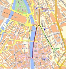
Zurich, Switzerland Tourist Map
101 miles away
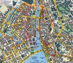
Zurich, Switzerland Tourist Map
101 miles away
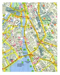
Zurich, Switzerland Tourist Map
101 miles away
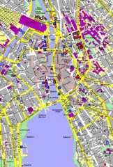
Zurich, Switzerland Tourist Map
101 miles away
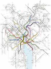
Zurich Transit Map
Map of transit routes throughout Zurich
101 miles away
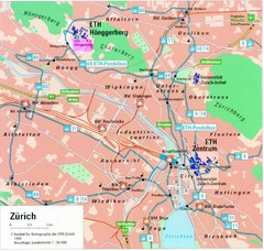
Zurich City Map
City map of Zurich with university highlighted
101 miles away
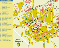
Landsberg Tourist Map
tourist map of town of Landsberg
102 miles away
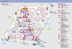
Nuremberg Tourist Map
Tourist map of old city Nuremberg, Germany. Shows tourist points of interest and a tourist walking...
104 miles away
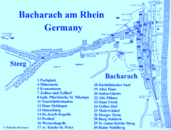
Bacharach Tourist Map
Tourist map of town of Bacharach
104 miles away

Weil am Rhein Tourist Map
Tourist street map of Weil am Rhein
106 miles away
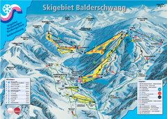
Balderschwang Balderschwang Ski Trail Map
Trail map from Balderschwang.
106 miles away
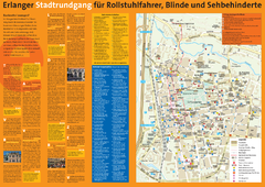
Erlangen Tourist Map
Tourist street map of Erlangen
106 miles away
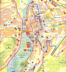
Bad Kissingen Tourist Map
Tourist map of Bad Kissingen
108 miles away
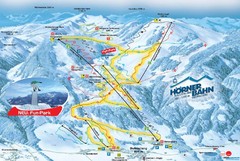
Bolsterlang Ski Trail Map
Trail map from Bolsterlang.
108 miles away
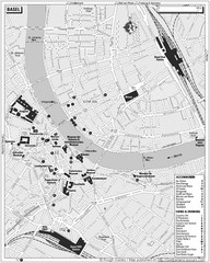
Basel Tourist Map
Tourist map of Basel, Switzerland. Shows museums, accommodations, eating, and drinking spots
108 miles away
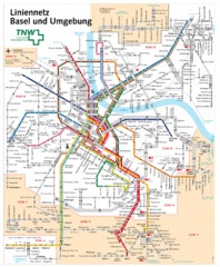
Basel Light Rail and Bus Map
108 miles away
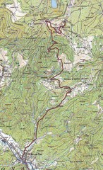
Grand Ballon Race Course Map
Topo course map of the 13.2 km running race to the summit of Grand Ballon
109 miles away
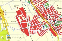
Bad Camberg Map
Street map of town of Bad Camberg
109 miles away

Zeil am Main Tourist Map
Tourist street map of Zeil am Main and surrounding region
110 miles away
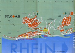
Sankt Goar Town Map
Town map of Sankt Goar, Germany. Sankt Goar is a picturesque little town on the Rhein river, about...
110 miles away
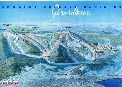
Gérardmer Ski Trail Map
Trail map from Gérardmer.
111 miles away
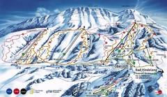
Oberjoch-Unterjoch Ski Trail Map
Trail map from Oberjoch.
111 miles away
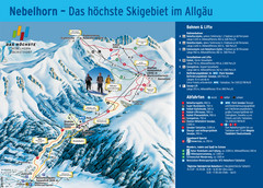
Oberstdorf Ski Trail Map
Trail map from Oberstdorf.
112 miles away
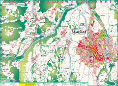
Oberstdorf City Map
City map of Oberstdorf, Germany and surrounding area. Shows buildings and ski lifts. In German.
112 miles away
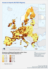
Travel Times to Airports in Europe Map
Shows proportion of car travel time to nearby airports across Western Europe
113 miles away
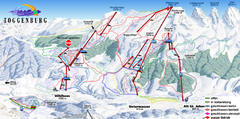
Toggenburg Ski Trail Map
Trail map from Toggenburg.
113 miles away
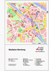
Bamberg Tourist Map
Tourist map of downtown Bamberg
113 miles away
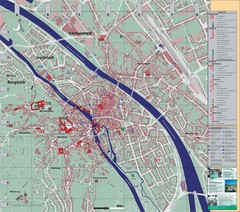
Bamberg City Map
City map of Bamberg, Germany
113 miles away

Butzbach Tourist Map
Tourist map of city of Butzbach
114 miles away

Western Strasbourg Tourist Map
115 miles away
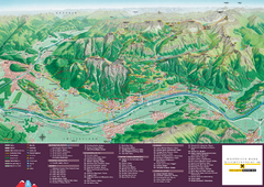
Liechtenstein Tourist Map
Tourist map of the country of Liechtenstein. Panoramic view shows all towns, trails, and mountains.
115 miles away
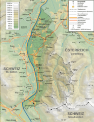
Liechtenstein topography Map
116 miles away

