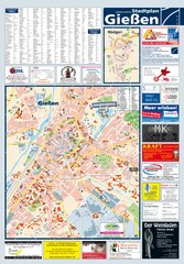
Giessen Tourist Map
Tourist map of Giessen and surrounding area
64 miles away
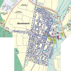
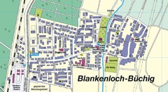
Blankenloch Map
Street map of town of Blankenloch
64 miles away
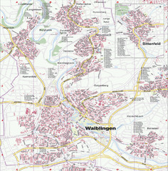
Waiblingen Map
City map of Waiblingen and surrounding region
65 miles away
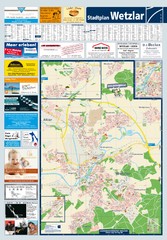
Wetzlar Tourist Map
Tourist map of Wetzlar and surrounding region
66 miles away
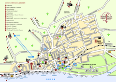
Rüdesheim Tourist Map
Tourist street map of Rüdesheim
66 miles away
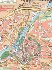
Wetzlar Center Map
Street map of town center of Wetzlar
66 miles away
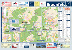
Braunfels Tourist Map
Tourist map of Braunfels and surrounding area
67 miles away
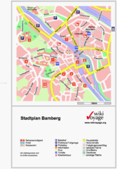
Bamberg Tourist Map
Tourist map of downtown Bamberg
68 miles away
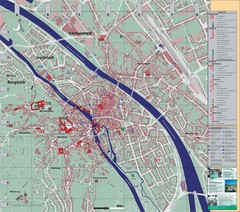
Bamberg City Map
City map of Bamberg, Germany
68 miles away
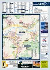
Solms Tourist Map
Tourist map of Solms and surrounding region
68 miles away
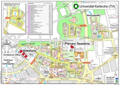
Karlsruhe University Campus Map
Campus map of Universität Karlsruhe, the oldest Technical University in Germany, founded in...
69 miles away

Bad Münster am Stein-Ebernburg Tourist Map
Tourist street map of Bad Münster am Stein-Ebernburg
69 miles away
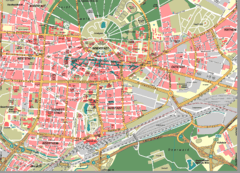
Karlsruhe Map
City street map of Karlsruhe
69 miles away
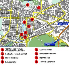
Karlsruhe Hotel Map
69 miles away
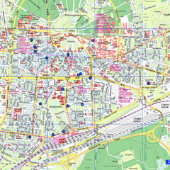
Karlsruhe Tourist Map
Tourist map of Karlsruhe
69 miles away
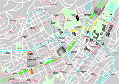
Stuttgart Street Map
Street map of Stuttgart, Germany. Show major buildings and public transport routes.
70 miles away
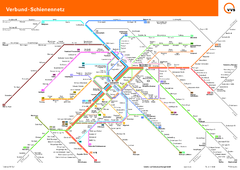
Stuttgart, Nahverkehr Map
70 miles away
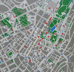
Stuttgart Tourist Map
Tourist street map of Stuttgart center
70 miles away
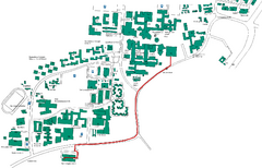
Universität Stuttgart Campus Map
In Stuttgart, Germany
73 miles away
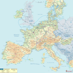
European Railway Map
73 miles away
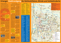
Erlangen Tourist Map
Tourist street map of Erlangen
74 miles away
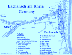
Bacharach Tourist Map
Tourist map of town of Bacharach
74 miles away
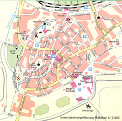
Kirchain Center Map
Street map of Kirchain center
75 miles away
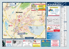
Kirchhain Tourist Map
Tourist map of Kirchhain and surrounding region
75 miles away
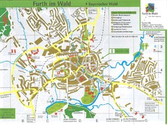
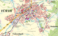
Furth Tourist Map
Tourist street map of Furth
75 miles away
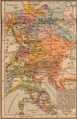
Germany Italy 1803 Map
Germany and Italy in 1803 after the Principle Decree of the Imperial Deputation
75 miles away
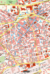
Kaiserslautern Center Map
Street map of Kaiserslautern city center
76 miles away
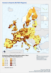
Travel Times to Airports in Europe Map
Shows proportion of car travel time to nearby airports across Western Europe
76 miles away
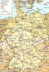
Germany Map
Map of Germany showing roads, railways and cities.
77 miles away
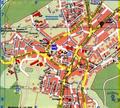
Gladenbach Map
Street map of town of Gladenbach
77 miles away
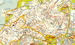
Boblingen Street Map
Street map of Boblingen center
77 miles away
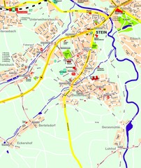
Stein Map
Street map of Stein and surrounding region
78 miles away
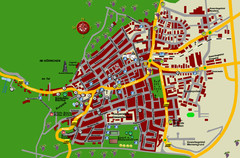
Bad Bergzabern Tourist Map
Tourist street map of Bad Bergzabern
78 miles away
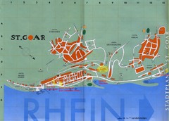
Sankt Goar Town Map
Town map of Sankt Goar, Germany. Sankt Goar is a picturesque little town on the Rhein river, about...
79 miles away

