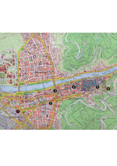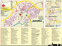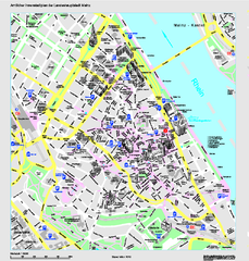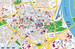
Frankfurt Airport Fern Bf Map
41 miles away
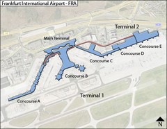
Frankfurt Airport Map
41 miles away
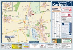
Karben Tourist Map
Tourist map of Karben and surrounding region
41 miles away
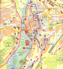
Bad Kissingen Tourist Map
Tourist map of Bad Kissingen
42 miles away
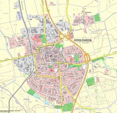
Gerolzhofen Map
Detailed street map of Gerolzhofen
44 miles away

Heilbronn Tourist Map
Tourist map of Heilbronn
45 miles away
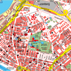
Mannheim Tourist Map
Tourist map of central Mannheim, Germany. Shows points of interest.
45 miles away
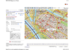
Mannheim Map
45 miles away
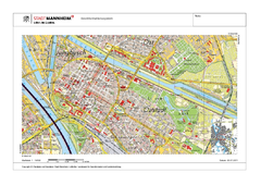
Mannheim Map
45 miles away
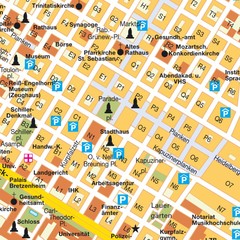
Central Mannheim Mp Map
Street map of Central Mannheim
46 miles away

Oppenheim Map
Street map of city of Oppenheim
46 miles away
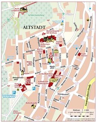
Oppenheim Altstadt Map
Street map of Altstadt area Oppenheim
46 miles away
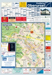
Oberursel Tourist Map
Tourist map of Oberursel and surrounding region
46 miles away
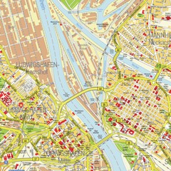
Ludwigshafen City Map
Street map of Ludwigshafen city center
47 miles away
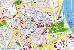
Speyer City Map
City map of central Speyer, Germany
53 miles away
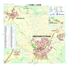
Großbottwar Map
Street map of Großbottwar and surrounding area
54 miles away
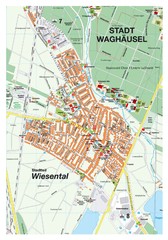
Wiesental Map
Street map of town of Wiesental
54 miles away
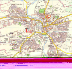
Crailsheim Map
Street map of Crailsheim region
54 miles away

Fulda-city map
55 miles away

Butzbach Tourist Map
Tourist map of city of Butzbach
55 miles away
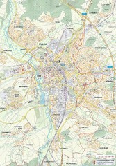
Fulda 1:20000 Map
55 miles away
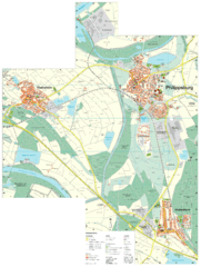
Philippsburg Map
Street map of Philippsburg
56 miles away

Zeil am Main Tourist Map
Tourist street map of Zeil am Main and surrounding region
56 miles away
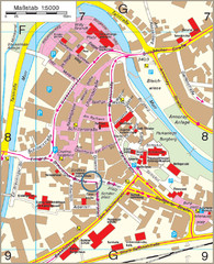
Backnang City Map
Street map of Backnang city center
58 miles away
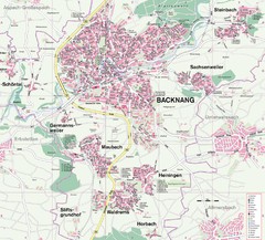
Backnang Region Map
Street map of Backnang and surrounding area
58 miles away

Bad Durkheim Tourist Map
Tourist map of Bad Durkhiem
59 miles away
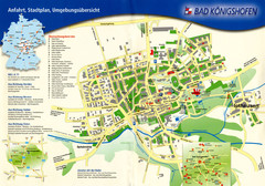
Bad Konigshofen Toursit Map
Tourist map of Bad Konigshofen
60 miles away
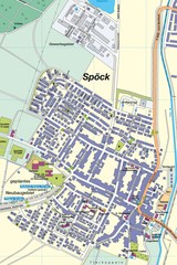
Spoeck Map
Street map of town of Spoeck
60 miles away
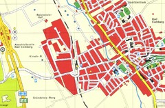
Bad Camberg Map
Street map of town of Bad Camberg
61 miles away
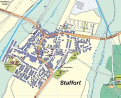
Staffort Map
Street map of town of Staffort
62 miles away
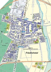
Friedrichstal Map
Street map of town of Friedrichstal
62 miles away
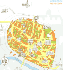
Herrieden Map
Street map of town center of Herrieden
63 miles away

