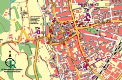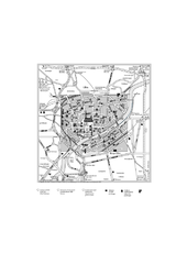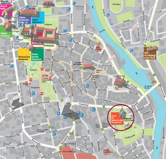
Kempten im Allgäu Tourist Map
Tourist street map of Kempten im Allgäu
0 miles away
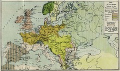
Extinction of France Map 1918
Shows pan-German scheme for the Extinction of France, 1918. As given in "Frankreich's...
14 miles away
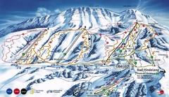
Oberjoch-Unterjoch Ski Trail Map
Trail map from Oberjoch.
18 miles away
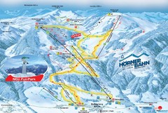
Bolsterlang Ski Trail Map
Trail map from Bolsterlang.
19 miles away
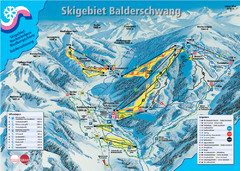
Balderschwang Balderschwang Ski Trail Map
Trail map from Balderschwang.
21 miles away
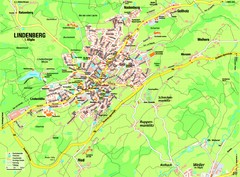
Lindenberg im Allgäu Map
Street map of Lindenberg
22 miles away
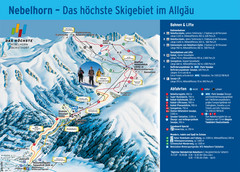
Oberstdorf Ski Trail Map
Trail map from Oberstdorf.
22 miles away
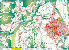
Oberstdorf City Map
City map of Oberstdorf, Germany and surrounding area. Shows buildings and ski lifts. In German.
22 miles away
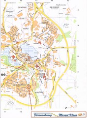
Bad Waldsee Map
Street map of Bad Waldsee
29 miles away
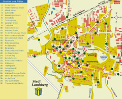
Landsberg Tourist Map
tourist map of town of Landsberg
32 miles away
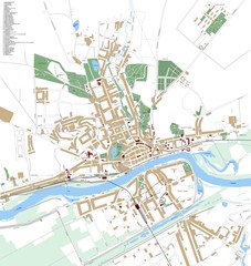
Landsberg Map
Street map of city of Landsberg
34 miles away
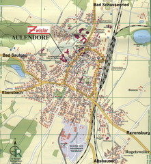
Aulendorf Map
Street map of city of Aulendorf
35 miles away
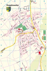
Regglisweiler Map
Map of town of Regglisweiler
35 miles away
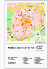
Biberach an der Riß Tourist Map
Tourist map of Biberach an der Riß town center
35 miles away
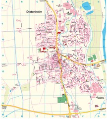
Dietenheim Map
Street map of Dietenheim
35 miles away
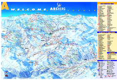
St Anton Region Ski map
Panoramic ski map covers St. Anton, St. Christoph, St. Jakob, Stuben, Zurs, Zug, Lech, and Oberlech...
39 miles away
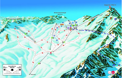
Garmisch Partenkirchen Ski Trail Map
Trail map from Garmisch Partenkirchen.
40 miles away
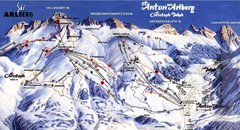
Arlberg – St Anton Ski Trail Map
Trail map from Arlberg – St Anton.
41 miles away
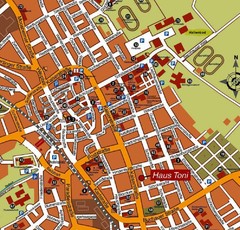
Bad Saulgau Tourist Map
Tourist street map of Bad Saulgau town center
43 miles away
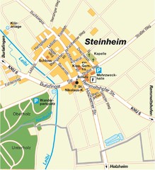
Ulm Steinheim Map
Street map of town of Ulm Steinheim
48 miles away
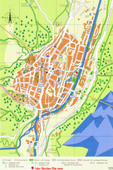
Mittenwald Tourist Map
Tourist street map
49 miles away
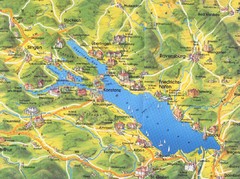
Lake Konstanz Map
49 miles away
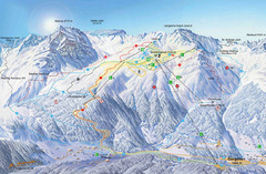
Montafon Ski Trail Map
Trail map from Montafon.
51 miles away
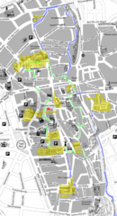
Augsburg Tourist Map
Tourist street map of downtown Augsburg
52 miles away
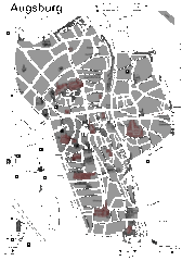
Augsburg Tourist Map
Shows central Augsburg and its sights.
52 miles away
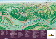
Liechtenstein Tourist Map
Tourist map of the country of Liechtenstein. Panoramic view shows all towns, trails, and mountains.
52 miles away
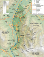
Liechtenstein topography Map
52 miles away
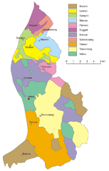
Liechtenstein Tourist Map
52 miles away
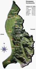
Liechtenstein Tourist Map
52 miles away
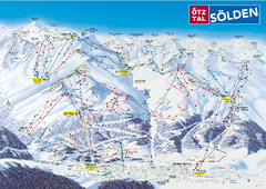
Otztal Ski Trail Map
Trail map from Otztal.
53 miles away
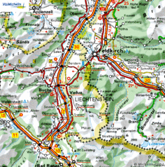
Liechtenstein road Map
53 miles away
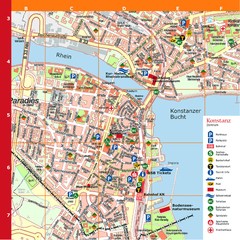
Konstanz Tourist Map
Tourist map of Konstanz
53 miles away
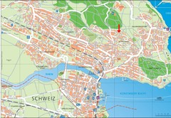
Konstanz City Map
53 miles away
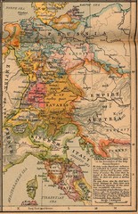
Germany Italy 1806 Map
Germany and Italy in 1806 at the dissolution of the Roman Empire
53 miles away
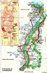
Liechtenstein Principality Map
54 miles away
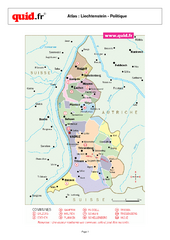
Liechtenstein Regional Map
Country map with detail of regional divides
54 miles away
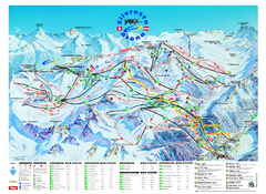
Ischgl – Galtur Ski Trail Map
Trail map from Ischgl – Galtur.
54 miles away
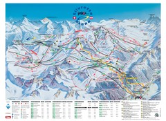
Ischgl – Galtur Ski Trail Map
Trail map from Ischgl – Galtur.
54 miles away


 Explore Maps
 Map Directory
