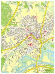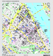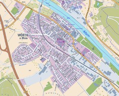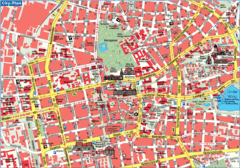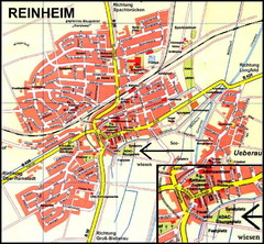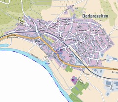
Dorfprozelten Map
Street map of Dorfprozelten
106 miles away
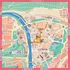
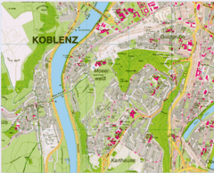
Würzburg Tourist Map
Tourist street map of Würzburg center
106 miles away
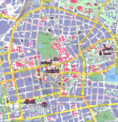
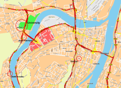
Darmstadt Tourist Map
Tourist street map of Darmstadt
106 miles away
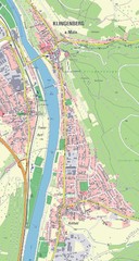
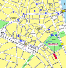
Klingenberg Map
Map of Klingenberg and surrounding region
106 miles away
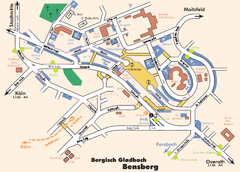
Bergisch Gladbach Tourist Map
Tourist map of Bergisch Gladbach
106 miles away
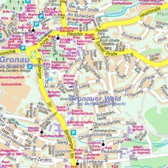
Bergisch Gladbach Map
City street map of Bergisch Gladbach
106 miles away
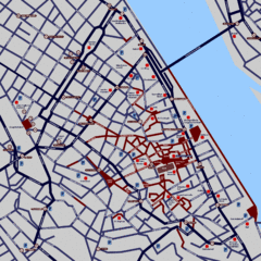
Heisingen Map
Detailed map of the city including parking, streets, and hotels.
106 miles away
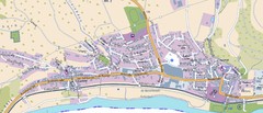
Collenberg Map
Street map of town of Collenberg
106 miles away
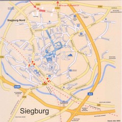
Siegburg Map
Street map of town of Siegburg
107 miles away
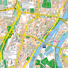
Magdeburg City Map
City map of central Magdeburg, Germany
107 miles away
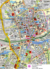
Essen Street Map
Street map of central Essen, Germany
109 miles away
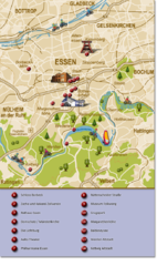
Essen Region Tourist Map
Tourist map of region of Essen
109 miles away
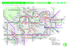
Ruhr VRR Schnellverkehr Map
109 miles away
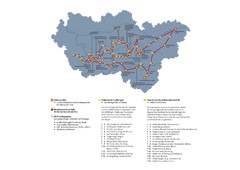
Ruhrgebiet Industriekultur Map
110 miles away
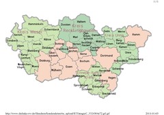
Ruhr RVR Map
110 miles away
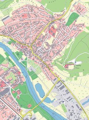
Grossheubach Map
Street map of Grossheubach
110 miles away
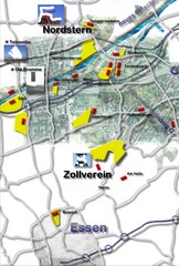
Essen-Nord Map
110 miles away
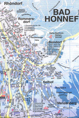
Bad Honnef Map
Street map of Bad Honney
110 miles away
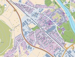
Kleinheubach Map
Street map of Kleinheubach
110 miles away
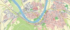
Miltenberg Map
Map of Miltenberg and surrounding area
111 miles away
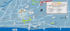
Bad Hönningen Tourist Map
Tourist map of Bad Honningen town center
111 miles away
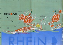
Sankt Goar Town Map
Town map of Sankt Goar, Germany. Sankt Goar is a picturesque little town on the Rhein river, about...
113 miles away
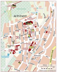
Oppenheim Altstadt Map
Street map of Altstadt area Oppenheim
113 miles away

Oppenheim Map
Street map of city of Oppenheim
113 miles away
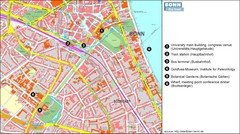
Bonn die Stadt Map
113 miles away
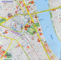
Bonn Tourist Map
Tourist map of inner city Bonn, Germany. Shows major buildings and points of interest.
113 miles away
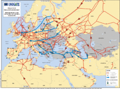
Europe Proposed Natural Gas Pipelines Map
The priority axes for natural gas pipelines, which involve INOGATE Participating Countries and...
114 miles away
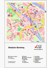
Bamberg Tourist Map
Tourist map of downtown Bamberg
114 miles away
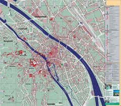
Bamberg City Map
City map of Bamberg, Germany
114 miles away

