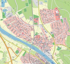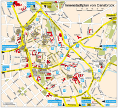
Osnabruck Tourist Map
Tourist map of Osnabruck city center
92 miles away
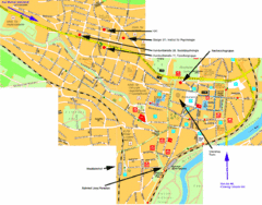
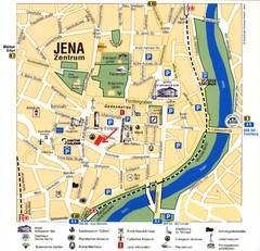
Jena City Map
City map of Jena with information
92 miles away
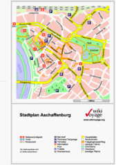
Aschaffenburg Tourist Map
Tourist street map of Aschaffenburg
93 miles away

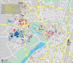
Jena Topographic Map
Guide to topography and surrounding area of Jena, Germany
93 miles away
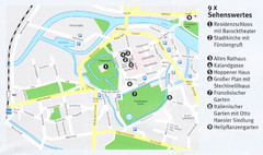
Celle Map
94 miles away
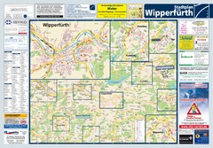
Wipperfuerth Tourist Map
Tourist map of Wipperfuerth and surrounding region
94 miles away
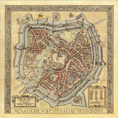
Münster City Map 1636
94 miles away
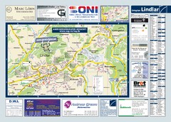
Lindlar Tourist Map
Tourist map of Lindlar and surrounding region
96 miles away
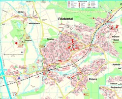
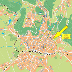
Rödental Map
Street map of city of Rödental
96 miles away

Frankfurt Airport Fern Bf Map
97 miles away

Frankfurt Airport Map
97 miles away
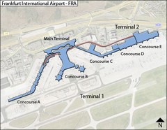
Frankfurt Airport Map
97 miles away
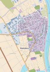
Niedernberg Map
Street map of Niedernberg
98 miles away
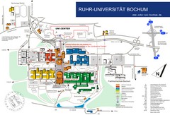
Ruhr-Universitat Campus Map
99 miles away
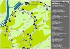
Muttental Bergbauwanderweg Map
99 miles away
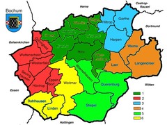
Bochum Stadtteile Map
101 miles away

Zeil am Main Tourist Map
Tourist street map of Zeil am Main and surrounding region
101 miles away
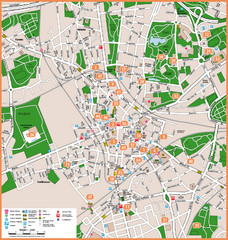
Bochum Tourist Map
Tourist map of central Bochum, Germany. Shows points of interest; numbers correspond to more info...
101 miles away
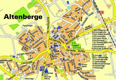
Altenberge Tourist Map
Tourist map of Altenberge
103 miles away
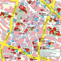
Ibbenbüren Downtown Map
Street map of Ibbenbüren city center
103 miles away
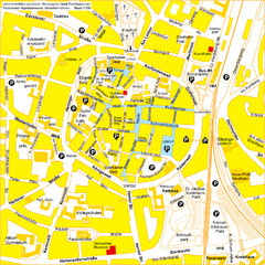
Recklinghausen Map
Street map of city
103 miles away
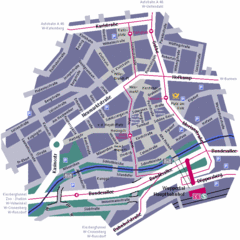
Wuppertal Elberfeld Street Map
Street map of Elberfeld in Wuppertal, Germany. In German.
103 miles away
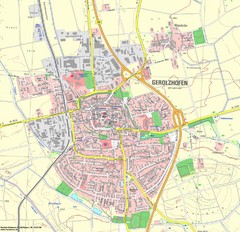
Gerolzhofen Map
Detailed street map of Gerolzhofen
104 miles away
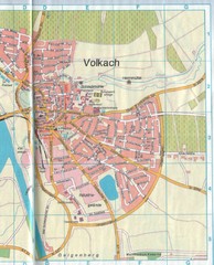
Volkach Map
Street map of town of Volkach
104 miles away
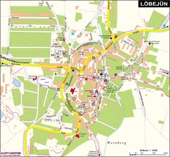
Loebejuen Map
Street map of town of Loebejuen
105 miles away
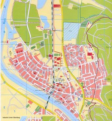
Erlenbach Map
Street map of town of Erlenbach
105 miles away
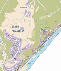
Stadtprozelten Map
Stadtprozelten street map
105 miles away
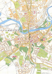
Weissenfels City Map
City map of Weissenfels, Germany
105 miles away
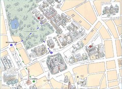
Darmstadt City Map
City map of Darmstadt, Germany. Shows major buildings and the Herrngarten.
105 miles away
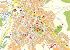
Halle City Map
Street map of Halle city center
106 miles away
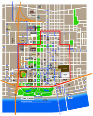
St. Louis, MO Tourist Map
106 miles away

