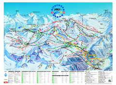
Ischgl – Galtur Ski Trail Map
Trail map from Ischgl – Galtur.
164 miles away
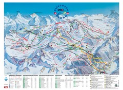
Ischgl – Galtur Ski Trail Map
Trail map from Ischgl – Galtur.
164 miles away
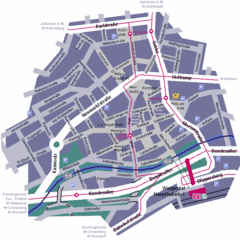
Wuppertal Elberfeld Street Map
Street map of Elberfeld in Wuppertal, Germany. In German.
165 miles away

Andermatt (Hospental) Ski Trail Map
Trail map from Andermatt (Hospental).
165 miles away
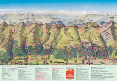
Davos Schatzalp Summer Trail Map
Trail map showing summer trails and lifts at Davos Schatzalp in Davos, Switzerland.
166 miles away
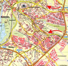
Bettenhausen Map
Map of Bettenhausen
167 miles away
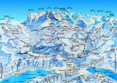
Jungfrauregion (Mürren, Wengen, Grindelwald) Ski...
Trail map from Jungfrauregion (Mürren, Wengen, Grindelwald), which provides downhill skiing.
167 miles away
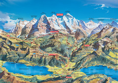
Jungfrau Grindelwald region summer map
This map is a summer panorama looking south from Interlaken toward the Jungfrau, Eiger, and the...
167 miles away
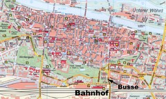
Regensburg Tourist Map
Tourist map of Regensburg city center
168 miles away
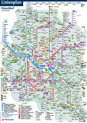
Dusseldorf Public Transport Network Map
Official Rheinbahn map shows municipal-rail, light rail and tramway system, as well as a close-knit...
169 miles away
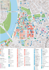
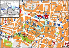
Dusseldorf Tourist Map
Tourist map of central Düsseldorf, Germany. Shows points of interest.
170 miles away
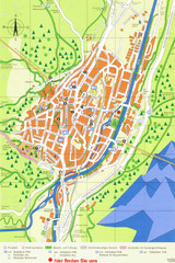
Mittenwald Tourist Map
Tourist street map
171 miles away
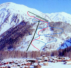
Hungerberg Ski Trail Map
Trail map from Hungerberg, which provides downhill skiing. It has 3 lifts. This ski area has its...
171 miles away
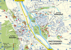
Sooden-Allendorf Map
Street map of Sooden and Allendorf
171 miles away
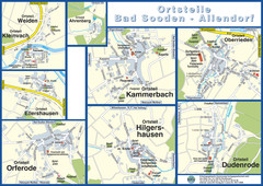
Bad Sooden-Allendorf Towns Map
Street maps of towns within the Bad Sooden-Allendorf region
171 miles away
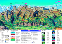
Schilthorn Summer Trail Map
Summer hiking map of Mürren-Schilthorn area. Shows lifts and trails.
172 miles away
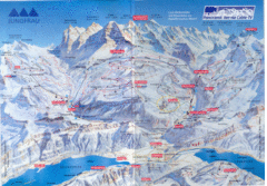
Jungfrau Map
172 miles away
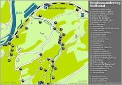
Muttental Bergbauwanderweg Map
174 miles away
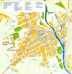
Saalfeld Tourist Map
Tourist street map of Saalfeld
174 miles away
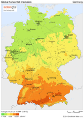
Solar Radiation Map of Germany
Solar Radiation Map Based on high resolution Solar Radiation Database: SolarGIS. On the Solar Map...
175 miles away
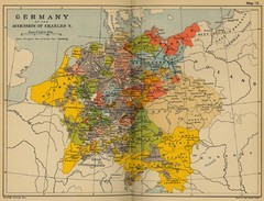
Germany 1519 Historical Map
175 miles away
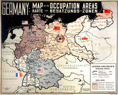
Occupation Areas of Germany after 1945 Map
This was an actual poster to be shown in the occupied Germany after the WWII.
175 miles away
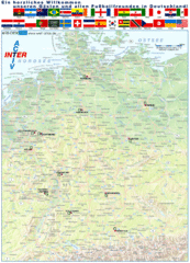
Germany Football World Cup 2006 Map
Shows football (soccer) cities in the 2006 World Cup hosted by Germany.
175 miles away
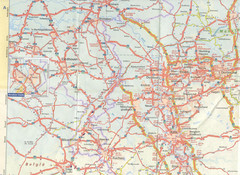
Maastricht Map
Highway map of Maastricht area
176 miles away
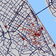
Heisingen Map
Detailed map of the city including parking, streets, and hotels.
176 miles away
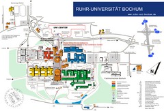
Ruhr-Universitat Campus Map
176 miles away
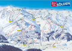
Otztal Ski Trail Map
Trail map from Otztal.
177 miles away
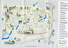
Muhlhausen City Map
City map of Muhlhausen with attractions.
177 miles away
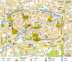
Mühlhausen Tourist Map
Tourist street map of Mühlhausen
177 miles away
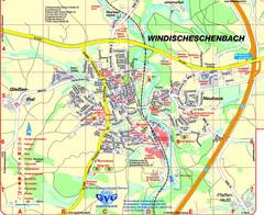
Windischeschenbach Tourist Map
Tourist street map of Windischeschenbach
178 miles away
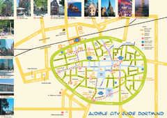
Dortmund Tourist Map
Tourist map of central Dortmund, Germany. Shows photos of points of interest along a walking audio...
178 miles away
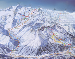
Kaunertal Ski Trail Map
Trail map from Kaunertal.
178 miles away

