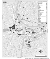
Bern Tourist Map
Tourist map of Bern, Switzerland. Shows museums, accommodations, eating, and drinking spots
149 miles away
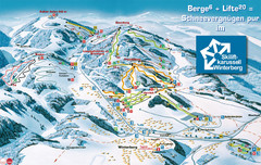
Winterberg Ski Trail Map
Trail map from Winterberg.
151 miles away
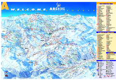
St Anton Region Ski map
Panoramic ski map covers St. Anton, St. Christoph, St. Jakob, Stuben, Zurs, Zug, Lech, and Oberlech...
151 miles away
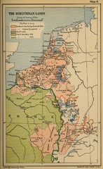
The Burgundian Lands Historical Map
152 miles away
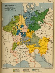
1912 Empire Historical Map
152 miles away
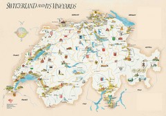
Switzerland Vineyards Map
Shows vineyards of Switzerland.
152 miles away
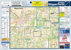
Wipperfuerth Tourist Map
Tourist map of Wipperfuerth and surrounding region
153 miles away
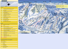
Sörenberg Ski Trail Map
Trail map from Sörenberg.
153 miles away
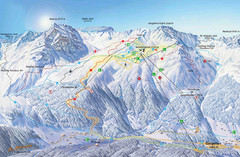
Montafon Ski Trail Map
Trail map from Montafon.
154 miles away
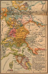
Germany Italy 1806 Map
Germany and Italy in 1806 at the dissolution of the Roman Empire
154 miles away
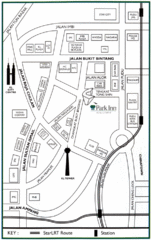
Kuala Lumpur Hotel Map
154 miles away
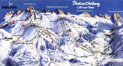
Arlberg – St Anton Ski Trail Map
Trail map from Arlberg – St Anton.
154 miles away
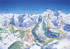
Engelberg Titlis Ski Trail Map
Trail map from Engelberg Titlis.
155 miles away

Switzerland Map
156 miles away
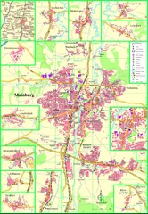
Mainburg Map
Street map of Mainburg city and surrounding region
156 miles away
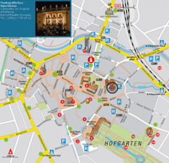
Bayreuth Tourist Map
Tourist map of Bayreuth town center
156 miles away
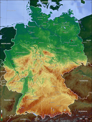
Germany Topo Map
Topographical map of Germany. Shaded by elevation in meters. Also shows major German cities.
157 miles away
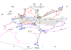
Alpenregion Meiringen-Hasliberg Ski Trail Map
Trail map from Alpenregion Meiringen-Hasliberg.
157 miles away
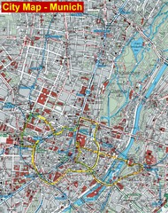
Munich City Map
City map of Munich, Germany
157 miles away
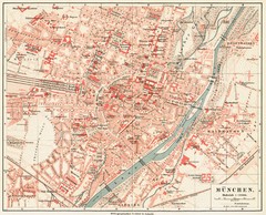
Munich Map
157 miles away
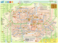
Munich Public Transportation Map
157 miles away
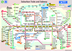
Munich public transportation system Map
This MVV network map, probably the best known one, shows all lines and stops for the urban rail and...
157 miles away
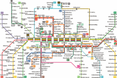
Munich Metro Map
Metro map of Munich, Germany. In German.
157 miles away
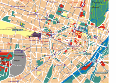
Munich Tourist Map
Tourist map of central Munich (München), Germany.
157 miles away
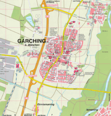
Garching bei München Map
Street map of Garching bei München
157 miles away
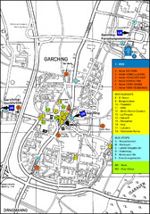
Garching Tourist Map
Tourist map of Garching bei Munchen, Germany. Shows hotels, restaurants and the most important bus...
157 miles away
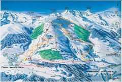
Brigels Ski Trail Map
Trail map from Brigels.
158 miles away
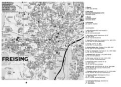
Freising City Map
158 miles away
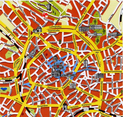
Aachen Center Map
Tourist street map of Aachen city center
160 miles away
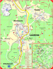
Lauscha Map
Street map of town of Lauscha and surrounding area
160 miles away
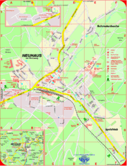
Neuhaus am Rennweg Map
Street map of Neuhaus am Rennweg
160 miles away
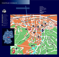
Eisenach Tourist Map
Tourist street map of Eisenach
160 miles away
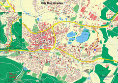
Ilmenau City Map
City map of Ilmenau, Germany
161 miles away
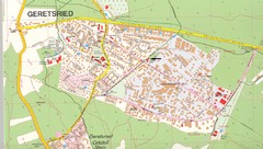
Geretsried Map
Street map of Geretsried
162 miles away
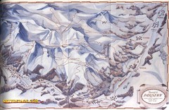
Davos-Klosters Ski Trail Map
Trail map from Davos-Klosters.
162 miles away
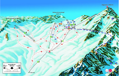
Garmisch Partenkirchen Ski Trail Map
Trail map from Garmisch Partenkirchen.
163 miles away
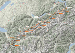
Swiss Alps Trail Map
Around Interlaken, Switzerland.
163 miles away

